
Photo: Gerd Eichmann · CC BY-SA 4.0 · Wikimedia Commons
PagodenburgReport this photo · linked, not stored
PagodenburgReport this photo · linked, not stored

Photo: Martin-D · CC BY-SA 3.0 · Wikimedia Commons
Wasserturm, RastattReport this photo · linked, not stored
Wasserturm, RastattWasserturm, RastattReport this photo · linked, not stored

Photo: Martin-D1 · CC BY-SA 3.0 · Wikimedia Commons
Einsiedelner KapelleReport this photo · linked, not stored
Einsiedelner KapelleEinsiedelner KapelleReport this photo · linked, not stored

Photo: Carsten Steger · CC BY-SA 4.0 · Wikimedia Commons
Schloss RastattReport this photo · linked, not stored
Schloss RastattSchloss RastattReport this photo · linked, not stored

Photo: Martin Dürrschnabel · CC BY-SA 3.0 · Wikimedia Commons
BernhardusbrunnenReport this photo · linked, not stored
BernhardusbrunnenBernhardusbrunnenReport this photo · linked, not stored
buildingRastatt, Baden-Wurttemberg
Pagodenburg
Kulturdenkmal
Typebuilding
Built–
Best monthsApr · Jun · Sepweather in Rastatt
48.86° N, 8.21° EUTC+1 · Central European Standard Time
When to goRastatt · weather score
Best timeApr · Jun · Sep
October: high / low16° / 7°
iAbout
Pagodenburg in brief
Pagodenburg is a building in Rastatt, Baden-Wurttemberg, Germany.
It holds the designation Kulturdenkmal.
For a visit, the weather in Rastatt is best in April, June and September; in October afternoons average 16°.
Facts
- Type
- building
- Designation
- Kulturdenkmal
- Nearest town
- Rastatt
- Region
- Baden-Wurttemberg
- Coordinates
- 48.85720, 8.20861
iiLocation
Where to find it
ivNearby
All monuments in GermanyMore heritage close by


Around here
Rastatt and around

Photo: Norbert Hüttisch, Karlsruhe · CC BY-SA 3.0 · Wikimedia CommonsReport this photo · linked, not stored
Rastatt
Baden-Wurttemberg · Germany
Apr · Jun · Sepbest months
26°July high
126 maltitude
Nature


Photo: © Ralph Hammann - Wikimedia Commons · CC BY-SA 4.0 · Wikimedia CommonsReport this photo · linked, not stored
Moder
River
Mountains
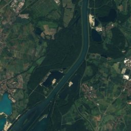
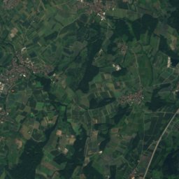
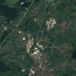
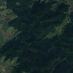
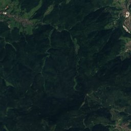
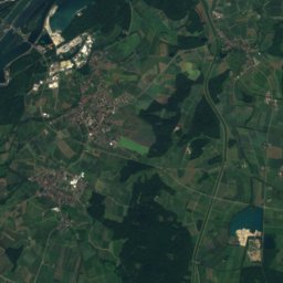
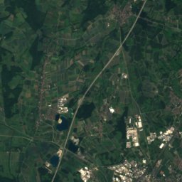
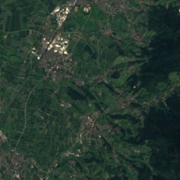
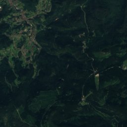
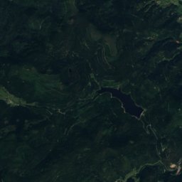
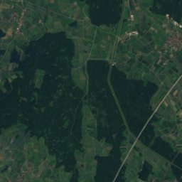
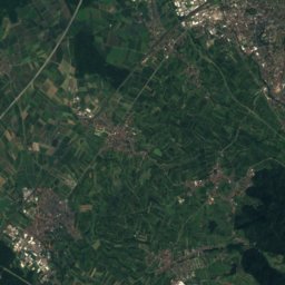
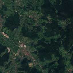
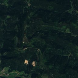
Satellite: Sentinel-2 cloudless 2016 by EOX IT Services GmbH · CC BY 4.0 · Contains modified Copernicus Sentinel data 2016
Hornisgrinde
1,164 m · Black Forest

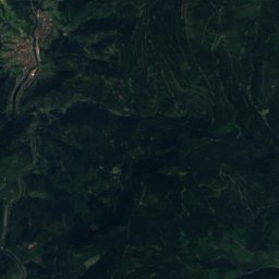
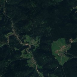
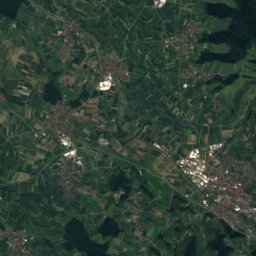
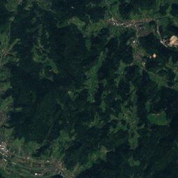
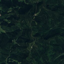
Satellite: Sentinel-2 cloudless 2016 by EOX IT Services GmbH · CC BY 4.0 · Contains modified Copernicus Sentinel data 2016
Altsteigerskopf
1,092 m
Heritage
Museums


Erinnerungsstätte für die Freiheitsbewegungen in der deutschen Geschichte
1974


Satellite: Sentinel-2 cloudless 2016 by EOX IT Services GmbH · CC BY 4.0 · Contains modified Copernicus Sentinel data 2016