
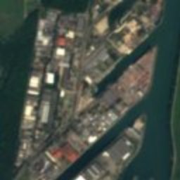
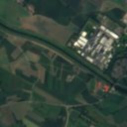
Satellite: Sentinel-2 cloudless 2016 by EOX IT Services GmbH · CC BY 4.0 · Contains modified Copernicus Sentinel data 2016

Photo: Uwe Barghaan · CC BY 3.0 · Wikimedia Commons
Villa Schmidt, KehlReport this photo · linked, not stored
Villa Schmidt, KehlVilla Schmidt, KehlReport this photo · linked, not stored

Photo: LigaDue · CC BY-SA 4.0 · Wikimedia Commons
Jewish cemetery of KehlReport this photo · linked, not stored
Jewish cemetery of KehlJewish cemetery of KehlReport this photo · linked, not stored

Photo: Ji-Elle · CC BY-SA 3.0 · Wikimedia Commons
Église de la Très Sainte Trinité de StrasbourgReport this photo · linked, not stored
Église de la Très Sainte Trinité de StrasbourgÉglise de la Très Sainte Trinité de StrasbourgReport this photo · linked, not stored

Photo: Ji-Elle · CC BY-SA 3.0 · Wikimedia Commons
Citadelle de StrasbourgReport this photo · linked, not stored
Citadelle de StrasbourgCitadelle de StrasbourgReport this photo · linked, not stored
sculptureKehl, Baden-Wurttemberg
Mutter Kinzig
Kulturdenkmal
Typesculpture
Built–
Best monthsApr · Jun · Sepweather in Kehl
48.57° N, 7.81° EUTC+2 · Central European Summer Time
When to goKehl · weather score
Best timeApr · Jun · Sep
October: high / low16° / 8°
iAbout
Mutter Kinzig in brief
Mutter Kinzig is a sculpture in Kehl, Baden-Wurttemberg, Germany. Statue of a nude young lady; personification of the river Kinzig, a right tributary of the Rhine.
It holds the designation Kulturdenkmal.
For a visit, the weather in Kehl is best in April, June and September; in October afternoons average 16°.
Facts
- Type
- sculpture
- Designation
- Kulturdenkmal
- Nearest town
- Kehl
- Region
- Baden-Wurttemberg
- Coordinates
- 48.57321, 7.81120
iiLocation
Where to find it
ivNearby
All monuments in GermanyMore heritage close by
Église de la Très Sainte Trinité de Strasbourg
2.7 km W
Remarkable Contemporary Architecture

Photo: Claude Truong-Ngoc / Wikimedia Commons - cc-by-sa-4.0 · CC BY-SA 4.0 · Wikimedia CommonsReport this photo · linked, not stored
faculté de droit
3.2 km W
Patrimoine du XXᵉ siècle

Around here
Kehl and around

Nature

Photo: Marion Schneider & Christoph Aistleitner · Public domain · Wikimedia CommonsReport this photo · linked, not stored
Kinzig, Baden-Wurttemberg
River


Photo: --Nitramtrebla 18:09, 30. Aug. 2007 (CEST) · CC BY-SA 2.0 de · Wikimedia CommonsReport this photo · linked, not stored
Schutter, Baden-Wurttemberg
River
Mountains
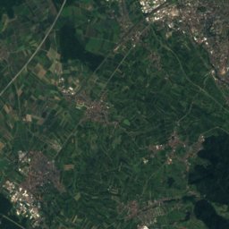
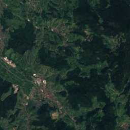
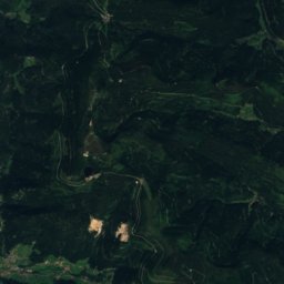
Satellite: Sentinel-2 cloudless 2016 by EOX IT Services GmbH · CC BY 4.0 · Contains modified Copernicus Sentinel data 2016
Hornisgrinde
1,164 m · Black Forest

Satellite: Sentinel-2 cloudless 2016 by EOX IT Services GmbH · CC BY 4.0 · Contains modified Copernicus Sentinel data 2016
Altsteigerskopf
1,092 m
Heritage
Église de la Très Sainte Trinité de Strasbourg
Remarkable Contemporary Architecture · 1966
Museums


Musée de sismologie et de magnétisme terrestre
University museum


