Skip to content
Destinations
Weather & climate
Nature
Outdoors
Culture
Events
Sky & live
Moserhof
Photo: Didi43 · CC BY-SA 4.0 · Wikimedia Commons
MoserhofReport this photo · linked, not stored
St. Georg, Bad Birnbach
Photo: Edelmauswaldgeist · CC0 · Wikimedia Commons
St. Georg, Bad BirnbachReport this photo · linked, not stored
St. Georg, Bad Birnbach
St. Margareta, Bayerbach
Photo: Elcom.stadler · CC BY-SA 3.0 · Wikimedia Commons
St. Margareta, BayerbachReport this photo · linked, not stored
St. Margareta, Bayerbach
Cultural heritage D-2-7544-0006 in Bayerbach (Rottal-Inn)
Photo: Michael Wening · Public domain · Wikimedia Commons
Cultural heritage D-2-7544-0006 in Bayerbach (Rottal-Inn)Report this photo · linked, not stored
Cultural heritage D-2-7544-0006 in Bayerbach (Rottal-Inn)
Burg Neudeck, Bayern
Photo: Michael Wening · Public domain · Wikimedia Commons
Burg Neudeck, BayernReport this photo · linked, not stored
Burg Neudeck, Bayern
four-sided farmBayerbach, Bavaria

Moserhof

architectural heritage monument in Bavaria
Typefour-sided farm
Built–
Best monthsMay–Jun · Sepweather in Bayerbach
48.41° N, 13.10° EUTC+1 · Central European Standard Time
When to goBayerbach · weather score
JanFebMarAprMayJunJulAugSepOctNovDec49October
Best timeMay–Jun · Sep
October: high / low14° / 6°
iAbout

Moserhof in brief

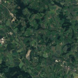
Moserhof is a four-sided farm in Bayerbach, Bavaria, Germany.

It holds the designation architectural heritage monument in Bavaria.

For a visit, the weather in Bayerbach is best in May, June and September; in October afternoons average 14°.

Bayerbach: weather and travel guide

Facts

Type
four-sided farm
Designation
architectural heritage monument in Bavaria
Nearest town
Bayerbach
Region
Bavaria
Coordinates
48.41051, 13.10075
iiLocation

Where to find it

iiiWhen to visit

Weather in Bayerbach

Climate guide

Month score for sightseeing

Best May–Jun · Sep
21
Jan
27
Feb
26
Mar
62
Apr
64
May
65
Jun
63
Jul
64
Aug
70
Sep
49
Oct
26
Nov
20
Dec
ivNearby

More heritage close by

All monuments in Germany
St. Georg, Bad Birnbach
Photo: Edelmauswaldgeist · CC0 · Wikimedia CommonsReport this photo · linked, not stored

St. Georg, Bad Birnbach

1.1 km W
architectural heritage monument in Bavaria
St. Georg, Bad Birnbach
St. Margareta, Bayerbach
Photo: Elcom.stadler · CC BY-SA 3.0 · Wikimedia CommonsReport this photo · linked, not stored

St. Margareta, Bayerbach

2.3 km NE
architectural heritage monument in Bavaria
St. Margareta, Bayerbach
Cultural heritage D-2-7544-0006 in Bayerbach (Rottal-Inn)
Photo: Michael Wening · Public domain · Wikimedia CommonsReport this photo · linked, not stored

Cultural heritage D-2-7544-0006 in Bayerbach (Rottal-Inn)

3.1 km E
archaeological heritage monument in Bavaria
Cultural heritage D-2-7544-0006 in Bayerbach (Rottal-Inn)
Burg Neudeck, Bayern
Photo: Michael Wening · Public domain · Wikimedia CommonsReport this photo · linked, not stored

Burg Neudeck, Bayern

3.2 km NW
Kulturdenkmal
Burg Neudeck, Bayern
Mariä Himmelfahrt (Bad Birnbach)
Photo: Renardo la vulpo · CC BY-SA 4.0 · Wikimedia CommonsReport this photo · linked, not stored

Mariä Himmelfahrt (Bad Birnbach)

3.8 km N
Kulturdenkmal
Mariä Himmelfahrt (Bad Birnbach)
Schloss Birnbach
Photo: Renardo la vulpo · CC0 · Wikimedia CommonsReport this photo · linked, not stored

Schloss Birnbach

3.9 km N
architectural heritage monument in Bavaria
Schloss Birnbach
Around here

Bayerbach and around

Bayerbach
Photo: Konrad Lackerbeck · CC BY 3.0 · Wikimedia CommonsReport this photo · linked, not stored

Bayerbach

Bavaria · Germany
May–Jun · Sepbest months
26°July high
357 maltitude
Bayerbach

Nature

Vils (Danube)
Photo: High Contrast · CC BY 2.0 de · Wikimedia CommonsReport this photo · linked, not stored
25 km N

Vils (Danube)

River
Vils (Danube)
Rott
Photo: Daki · CC BY-SA 3.0 · Wikimedia CommonsReport this photo · linked, not stored
21 km E

Rott

River
Rott
Antiesen
Photo: ViennaUK · CC BY-SA 4.0 · Wikimedia CommonsReport this photo · linked, not stored
20 km E

Antiesen

River
Antiesen

Mountains

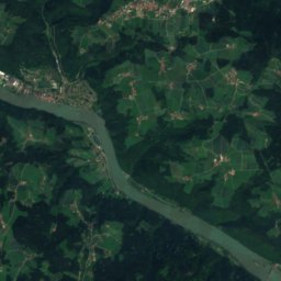
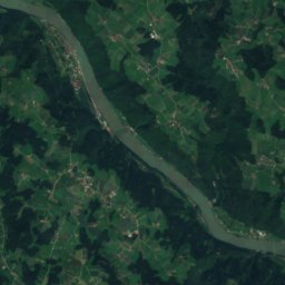
Satellite: Sentinel-2 cloudless 2016 by EOX IT Services GmbH · CC BY 4.0 · Contains modified Copernicus Sentinel data 2016
40 km E

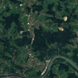
Godererkogel

822 m · Sauwald
Godererkogel
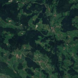
Satellite: Sentinel-2 cloudless 2016 by EOX IT Services GmbH · CC BY 4.0 · Contains modified Copernicus Sentinel data 2016
38 km E

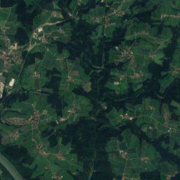
Großer Schefberg

791 m · Sauwald
Großer Schefberg
Steiglberg
Photo: ViennaUK · CC BY-SA 4.0 · Wikimedia CommonsReport this photo · linked, not stored
38 km SE

Steiglberg

767 m · Kobernaußerwald
Steiglberg

Heritage

Benedictine Abbey of Asbach
Photo: Michielverbeek · CC BY-SA 4.0 · Wikimedia CommonsReport this photo · linked, not stored
2.9 km SE

Benedictine Abbey of Asbach

architectural heritage monument in Bavaria
Benedictine Abbey of Asbach
Cultural heritage D-2-7544-0006 in Bayerbach (Rottal-Inn)
Photo: Michael Wening · Public domain · Wikimedia CommonsReport this photo · linked, not stored
0.1 km W

Cultural heritage D-2-7544-0006 in Bayerbach (Rottal-Inn)

archaeological heritage monument in Bavaria
Cultural heritage D-2-7544-0006 in Bayerbach (Rottal-Inn)
St. Margareta, Bayerbach
Photo: Elcom.stadler · CC BY-SA 3.0 · Wikimedia CommonsReport this photo · linked, not stored
1.5 km NW

St. Margareta, Bayerbach

architectural heritage monument in Bavaria
St. Margareta, Bayerbach

Museums

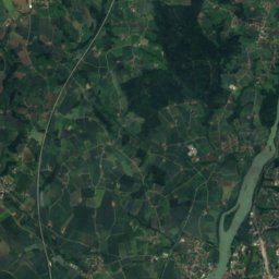
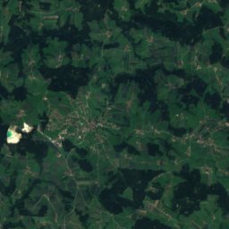
Satellite: Sentinel-2 cloudless 2016 by EOX IT Services GmbH · CC BY 4.0 · Contains modified Copernicus Sentinel data 2016
2.9 km SE

Bayerisches Nationalmuseum / Museum Kloster Asbach
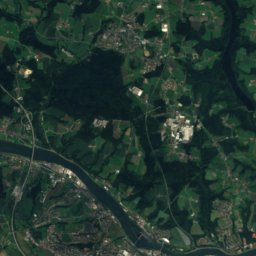
Bayerisches Nationalmuseum / Museum Kloster Asbach
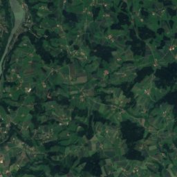
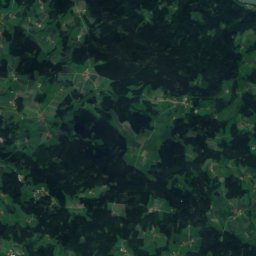
Satellite: Sentinel-2 cloudless 2016 by EOX IT Services GmbH · CC BY 4.0 · Contains modified Copernicus Sentinel data 2016
4.6 km S

Kirchenmuseum Kößlarn

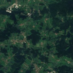
Kirchenmuseum Kößlarn
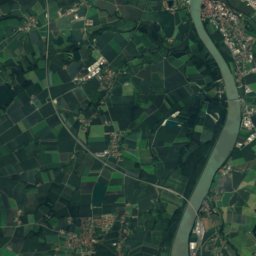
Satellite: Sentinel-2 cloudless 2016 by EOX IT Services GmbH · CC BY 4.0 · Contains modified Copernicus Sentinel data 2016
9.1 km NE

Sammlung Irmgard Friedl

Sammlung Irmgard Friedl