
Skip to content
Destinations
Weather & climate
Nature
Outdoors
Culture
Events
Sky & live
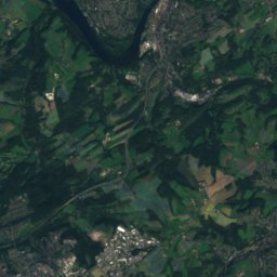
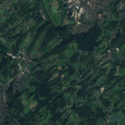
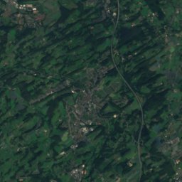
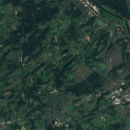
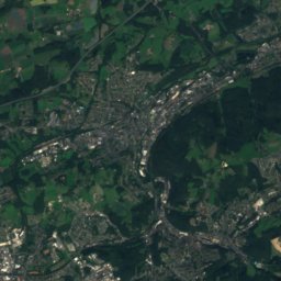
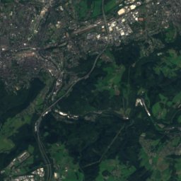
Satellite: Sentinel-2 cloudless 2016 by EOX IT Services GmbH · CC BY 4.0 · Contains modified Copernicus Sentinel data 2016
Mine Blankenburg
Photo: Frank Vincentz · CC BY-SA 3.0 · Wikimedia Commons
Mine BlankenburgReport this photo · linked, not stored
Mine Blankenburg
Ehrenmal Herbede
Photo: Atze_Marvin · CC BY-SA 4.0 · Wikimedia Commons
Ehrenmal HerbedeReport this photo · linked, not stored
Ehrenmal Herbede
Wetterschornstein Buchholz
Photo: Frank Vincentz · CC BY-SA 3.0 · Wikimedia Commons
Wetterschornstein BuchholzReport this photo · linked, not stored
Wetterschornstein Buchholz
Evangelische Kirche (Herbede)
Photo: Reclus · CC0 · Wikimedia Commons
Evangelische Kirche (Herbede)Report this photo · linked, not stored
Evangelische Kirche (Herbede)
built structureHattingen, North Rhine-Westphalia

Mine Egbert

architectural heritage monument in North Rhine-WestphaliaBuilt 1962
Typebuilt structure
Built1962
Best monthsMay · Aug–Sepweather in Hattingen
51.40° N, 7.28° EUTC+1 · Central European Standard Time
Standing for64 years
built 1962today 2026
When to goHattingen · weather score
JanFebMarAprMayJunJulAugSepOctNovDec45October
Best timeMay · Aug–Sep
October: high / low15° / 7°
iAbout

Mine Egbert in brief

Mine Egbert is a built structure in Hattingen, North Rhine-Westphalia, Germany. Coal mine in Witten.

It holds the designation architectural heritage monument in North Rhine-Westphalia.

The built structure dates from 1962.

For a visit, the weather in Hattingen is best in May, August and September; in October afternoons average 15°.

Hattingen: weather and travel guide

Facts

Type
built structure
Designation
architectural heritage monument in North Rhine-Westphalia
Built
1962
Nearest town
Hattingen
Region
North Rhine-Westphalia
Coordinates
51.40310, 7.28020
iiLocation

Where to find it

iiiWhen to visit

Weather in Hattingen

Climate guide

Month score for sightseeing

Best May · Aug–Sep
ivNearby

More heritage close by

All monuments in Germany
Mine Blankenburg
Photo: Frank Vincentz · CC BY-SA 3.0 · Wikimedia CommonsReport this photo · linked, not stored

Mine Blankenburg

1.4 km W
architectural heritage monument in North Rhine-Westphalia
Mine Blankenburg
Ehrenmal Herbede
Photo: Atze_Marvin · CC BY-SA 4.0 · Wikimedia CommonsReport this photo · linked, not stored

Ehrenmal Herbede

1.6 km N
architectural heritage monument in North Rhine-Westphalia
Ehrenmal Herbede
Wetterschornstein Buchholz
Photo: Frank Vincentz · CC BY-SA 3.0 · Wikimedia CommonsReport this photo · linked, not stored

Wetterschornstein Buchholz

1.8 km SW
architectural heritage monument
Wetterschornstein Buchholz
Evangelische Kirche (Herbede)
Photo: Reclus · CC0 · Wikimedia CommonsReport this photo · linked, not stored

Evangelische Kirche (Herbede)

1.8 km N
architectural heritage monument in North Rhine-Westphalia
Evangelische Kirche (Herbede)
Herbeder Grundschule
Photo: Reclus · CC0 · Wikimedia CommonsReport this photo · linked, not stored

Herbeder Grundschule

1.9 km N
architectural heritage monument in North Rhine-Westphalia
Herbeder Grundschule
Haus Kemnade
Photo: Chris06 · CC BY-SA 4.0 · Wikimedia CommonsReport this photo · linked, not stored

Haus Kemnade

2.2 km W
architectural heritage monument
Haus Kemnade
Around here

Hattingen and around

Hattingen
Photo: Michielverbeek · CC BY-SA 3.0 · Wikimedia CommonsReport this photo · linked, not stored

Hattingen

North Rhine-Westphalia · Germany
May · Aug–Sepbest months
24°July high
100 maltitude
Hattingen

Nature

Felderbach
Photo: Bärwinkel,Klaus · CC BY 3.0 · Wikimedia CommonsReport this photo · linked, not stored
4.6 km SW

Felderbach

River · 90 m
Felderbach
Sprockhöveler Bach
Photo: Frank Vincentz · CC BY-SA 3.0 · Wikimedia CommonsReport this photo · linked, not stored
1.2 km N

Sprockhöveler Bach

River
Sprockhöveler Bach
Hörsterholzer Bach
Photo: Simplicius · CC BY-SA 3.0 · Wikimedia CommonsReport this photo · linked, not stored
5.2 km NW

Hörsterholzer Bach

River
Hörsterholzer Bach

Mountains

Brodtberg
Photo: Strahlemän · CC BY-SA 3.0 · Wikimedia CommonsReport this photo · linked, not stored
24 km S

Brodtberg

379 m · Bergisches Land
Brodtberg
Satellite: Sentinel-2 cloudless 2016 by EOX IT Services GmbH · CC BY 4.0 · Contains modified Copernicus Sentinel data 2016
16 km SE

Winterberg, Schwelm

351 m · Rhenish Massif
Winterberg, Schwelm
Winterberg, Sprockhövel
Photo: Marku1988 · CC BY 3.0 · Wikimedia CommonsReport this photo · linked, not stored
7.8 km S

Winterberg, Sprockhövel

315 m · Rhenish Massif
Winterberg, Sprockhövel

Heritage

Isenburg, Hattingen
Photo: André Schäfer · CC BY-SA 2.0 · Wikimedia CommonsReport this photo · linked, not stored
2.6 km SW

Isenburg, Hattingen

architectural heritage monument · 1193
Isenburg, Hattingen
St. Georg, Hattingen
Photo: Michielverbeek · CC BY-SA 3.0 · Wikimedia CommonsReport this photo · linked, not stored
0.1 km S

St. Georg, Hattingen

architectural heritage monument · 1200
St. Georg, Hattingen
Bügeleisenhaus
Photo: Marion Schneider & Christoph Aistleitner · Public domain · Wikimedia CommonsReport this photo · linked, not stored
0.2 km SW

Bügeleisenhaus

architectural heritage monument · 1962
Bügeleisenhaus

Museums

Henrichshütte
Photo: Frank Vincentz · CC BY-SA 3.0 · Wikimedia CommonsReport this photo · linked, not stored
1.0 km N

Henrichshütte

1854
Henrichshütte
Westfälisches Feuerwehrmuseum
Photo: Unknown author · CC BY-SA 3.0 · Wikimedia CommonsReport this photo · linked, not stored
1.0 km N

Westfälisches Feuerwehrmuseum

Firefighting museum · 1993
Westfälisches Feuerwehrmuseum
Stadtmuseum Hattingen
Photo: Frank Vincentz · CC BY-SA 3.0 · Wikimedia CommonsReport this photo · linked, not stored
3.0 km E

Stadtmuseum Hattingen

Local museum · 2001
Stadtmuseum Hattingen