


Skip to content
Destinations
Weather & climate
Nature
Outdoors
Culture
Events
Sky & live
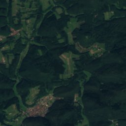
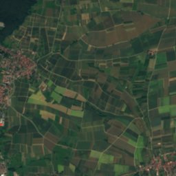
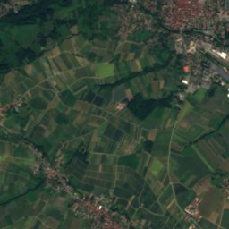
Satellite: Sentinel-2 cloudless 2016 by EOX IT Services GmbH · CC BY 4.0 · Contains modified Copernicus Sentinel data 2016
St. Jacobus (Busenberg)
Photo: Gerd Eichmann · CC BY-SA 4.0 · Wikimedia Commons
St. Jacobus (Busenberg)Report this photo · linked, not stored
St. Jacobus (Busenberg)
Jewish cemetery Busenberg
Photo: Gerd Eichmann · CC BY-SA 4.0 · Wikimedia Commons
Jewish cemetery BusenbergReport this photo · linked, not stored
Jewish cemetery Busenberg
Drachenfels Castle, Busenberg
Photo: Rüdiger · CC BY-SA 3.0 · Wikimedia Commons
Drachenfels Castle, BusenbergReport this photo · linked, not stored
Drachenfels Castle, Busenberg
Heilig-Kreuz-Kirche, Bruchweiler-Bärenbach
Photo: Gerd Eichmann · CC BY-SA 3.0 · Wikimedia Commons
Heilig-Kreuz-Kirche, Bruchweiler-BärenbachReport this photo · linked, not stored
Heilig-Kreuz-Kirche, Bruchweiler-Bärenbach
destroyed building or structureBusenberg, Rheinland-Pfalz

Mikwe

Kulturdenkmal
Typedestroyed building or structure
Built–
Best monthsJun · Aug–Sepweather in Busenberg
49.13° N, 7.83° EUTC+2 · Central European Summer Time
When to goBusenberg · weather score
JanFebMarAprMayJunJulAugSepOctNovDec47October
Best timeJun · Aug–Sep
October: high / low14° / 7°
iAbout

Mikwe in brief

Mikwe is a destroyed building or structure in Busenberg, Rheinland-Pfalz, Germany.

It holds the designation Kulturdenkmal.

For a visit, the weather in Busenberg is best in June, August and September; in October afternoons average 14°.

Busenberg: weather and travel guide

Facts

Type
destroyed building or structure
Designation
Kulturdenkmal
Nearest town
Busenberg
Region
Rheinland-Pfalz
Coordinates
49.12980, 7.83003
iiLocation

Where to find it

iiiWhen to visit

Weather in Busenberg

Climate guide

Month score for sightseeing

Best Jun · Aug–Sep
19
Jan
26
Feb
29
Mar
61
Apr
65
May
69
Jun
67
Jul
68
Aug
76
Sep
47
Oct
21
Nov
14
Dec
ivNearby

More heritage close by

All monuments in Germany
St. Jacobus (Busenberg)
Photo: Gerd Eichmann · CC BY-SA 4.0 · Wikimedia CommonsReport this photo · linked, not stored

St. Jacobus (Busenberg)

0.1 km NW
cultural heritage monument in Rhineland-Palatinate
St. Jacobus (Busenberg)
Jewish cemetery Busenberg
Photo: Gerd Eichmann · CC BY-SA 4.0 · Wikimedia CommonsReport this photo · linked, not stored

Jewish cemetery Busenberg

0.8 km SE
Kulturdenkmal
Jewish cemetery Busenberg
Drachenfels Castle, Busenberg
Photo: Rüdiger · CC BY-SA 3.0 · Wikimedia CommonsReport this photo · linked, not stored

Drachenfels Castle, Busenberg

0.9 km S
cultural heritage monument in Rhineland-Palatinate
Drachenfels Castle, Busenberg
Heilig-Kreuz-Kirche, Bruchweiler-Bärenbach
Photo: Gerd Eichmann · CC BY-SA 3.0 · Wikimedia CommonsReport this photo · linked, not stored

Heilig-Kreuz-Kirche, Bruchweiler-Bärenbach

2.8 km SW
cultural heritage monument in Rhineland-Palatinate
Heilig-Kreuz-Kirche, Bruchweiler-Bärenbach
Mariae Himmelfahrt und St. Aegidius (Erlenbach bei Dahn)
Photo: Gerd Eichmann · CC BY-SA 4.0 · Wikimedia CommonsReport this photo · linked, not stored

Mariae Himmelfahrt und St. Aegidius (Erlenbach bei Dahn)

3.0 km SE
cultural heritage monument in Rhineland-Palatinate
Mariae Himmelfahrt und St. Aegidius (Erlenbach bei Dahn)
Castle Tanstein
Photo: Llez · CC BY-SA 3.0 · Wikimedia CommonsReport this photo · linked, not stored

Castle Tanstein

3.0 km NW
Kulturdenkmal
Castle Tanstein
Around here

Busenberg and around

Busenberg
Photo: Tara2 · CC BY 3.0 · Wikimedia CommonsReport this photo · linked, not stored

Busenberg

Rheinland-Pfalz · Germany
Jun · Aug–Sepbest months
25°July high
241 maltitude
Busenberg

Nature

Moosbach, Rheinland-Pfalz
Photo: Telford · CC BY-SA 3.0 · Wikimedia CommonsReport this photo · linked, not stored
8.4 km W

Moosbach, Rheinland-Pfalz

River
Moosbach, Rheinland-Pfalz
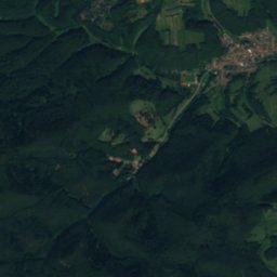
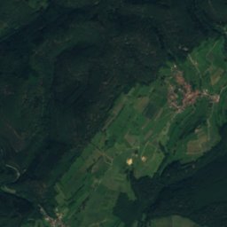
Satellite: Sentinel-2 cloudless 2016 by EOX IT Services GmbH · CC BY 4.0 · Contains modified Copernicus Sentinel data 2016
4.9 km NE

Erlenbach (Lauter)

River
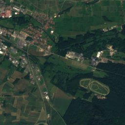
Erlenbach (Lauter)
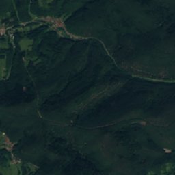
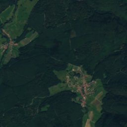
Satellite: Sentinel-2 cloudless 2016 by EOX IT Services GmbH · CC BY 4.0 · Contains modified Copernicus Sentinel data 2016
10 km SE

Reisbach

River
Reisbach

Mountains

Kalmit
Photo: Steffen 962 · CC0 · Wikimedia CommonsReport this photo · linked, not stored
28 km NE

Kalmit

674 m · Haardt
Kalmit
Kesselberg (Palatinate)
Photo: Steffen 962 · CC0 · Wikimedia CommonsReport this photo · linked, not stored
23 km NE

Kesselberg (Palatinate)

662 m · Haardt
Kesselberg (Palatinate)
Roßberg (Haardt)
Photo: Steffen 962 · CC0 · Wikimedia CommonsReport this photo · linked, not stored
21 km NE

Roßberg (Haardt)

637 m · Haardt
Roßberg (Haardt)

Heritage

Heilig-Kreuz-Kirche, Bruchweiler-Bärenbach
Photo: Gerd Eichmann · CC BY-SA 3.0 · Wikimedia CommonsReport this photo · linked, not stored
2.8 km SW

Heilig-Kreuz-Kirche, Bruchweiler-Bärenbach

cultural heritage monument in Rhineland-Palatinate · 1840
Heilig-Kreuz-Kirche, Bruchweiler-Bärenbach
Altdahn Castle
Photo: Llez · CC BY-SA 3.0 · Wikimedia CommonsReport this photo · linked, not stored
3.0 km NW

Altdahn Castle

Kulturdenkmal · 1200
Altdahn Castle
Castle Tanstein
Photo: Llez · CC BY-SA 3.0 · Wikimedia CommonsReport this photo · linked, not stored
3.0 km NW

Castle Tanstein

Kulturdenkmal · 1100
Castle Tanstein

Museums

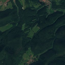
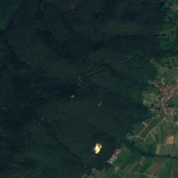
Satellite: Sentinel-2 cloudless 2016 by EOX IT Services GmbH · CC BY 4.0 · Contains modified Copernicus Sentinel data 2016
3.0 km NW

Burgenmuseum auf Burg Altdahn

Burgenmuseum auf Burg Altdahn
German Shoe Museum Hauenstein
Photo: Johannes Fasolt · Public domain · Wikimedia CommonsReport this photo · linked, not stored
6.9 km N

German Shoe Museum Hauenstein

German Shoe Museum Hauenstein
Musée Westercamp (Wissembourg)
Photo: Ji-Elle · CC BY-SA 3.0 · Wikimedia CommonsReport this photo · linked, not stored
13 km SE

Musée Westercamp (Wissembourg)

Art museum
Musée Westercamp (Wissembourg)