
Photo: Raik Schröter, Berga · CC BY-SA 4.0 · Wikimedia Commons
MeierhofReport this photo · linked, not stored
MeierhofReport this photo · linked, not stored

Photo: Raik Schröter, Berga · CC BY-SA 4.0 · Wikimedia Commons
St. Trinitatis (Roßla)Report this photo · linked, not stored
St. Trinitatis (Roßla)St. Trinitatis (Roßla)Report this photo · linked, not stored

Photo: Olaf Meister · CC BY-SA 4.0 · Wikimedia Commons
Rentamt, RoßlaReport this photo · linked, not stored
Rentamt, RoßlaRentamt, RoßlaReport this photo · linked, not stored

Photo: ErwinMeier · CC BY-SA 3.0 · Wikimedia Commons
St.-Marien-und-Anna-KircheReport this photo · linked, not stored
St.-Marien-und-Anna-KircheSt.-Marien-und-Anna-KircheReport this photo · linked, not stored

Photo: Olaf Meister · CC BY-SA 4.0 · Wikimedia Commons
Halle-Kasseler-Straße 188Report this photo · linked, not stored
Halle-Kasseler-Straße 188Halle-Kasseler-Straße 188Report this photo · linked, not stored
built structureRoßla, Saxony-Anhalt
Meierhof
heritage monument in Saxony-Anhaltarchitectural heritage monument
Typebuilt structure
Built–
Best monthsMay · Aug–Sepweather in Roßla
51.46° N, 11.08° EUTC+2 · Central European Summer Time
When to goRoßla · weather score
Best timeMay · Aug–Sep
October: high / low14° / 6°
iAbout
Meierhof in brief
Meierhof is a built structure in Roßla, Saxony-Anhalt, Germany.
It holds the designations heritage monument in Saxony-Anhalt and architectural heritage monument.
For a visit, the weather in Roßla is best in May, August and September; in October afternoons average 14°.
Facts
- Type
- built structure
- Designation
- heritage monument in Saxony-Anhalt
- architectural heritage monument
- Nearest town
- Roßla
- Region
- Saxony-Anhalt
- Coordinates
- 51.46167, 11.07712
iiLocation
Where to find it
iiiWhen to visit
Climate guideWeather in Roßla
Month score for sightseeing
Best May · Aug–Sep19
Jan
27
Feb
25
Mar
58
Apr
69
May
67
Jun
65
Jul
69
Aug
73
Sep
46
Oct
23
Nov
16
Dec
ivNearby
All monuments in GermanyMore heritage close by
Photo: Raik Schröter, Berga · CC BY-SA 4.0 · Wikimedia CommonsReport this photo · linked, not stored
St. Trinitatis (Roßla)
under 100 m SE
heritage monument in Saxony-Anhalt

Satellite: Sentinel-2 cloudless 2016 by EOX IT Services GmbH · CC BY 4.0 · Contains modified Copernicus Sentinel data 2016
Schloss Roßla
0.1 km S
Kulturdenkmal

Around here
Roßla and around

Photo: Raik Schröter, Berga · CC BY-SA 4.0 · Wikimedia CommonsReport this photo · linked, not stored
Roßla
Saxony-Anhalt · Germany
May · Aug–Sepbest months
25°July high
155 maltitude
Nature


Mountains
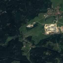
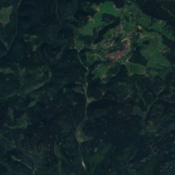
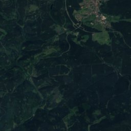
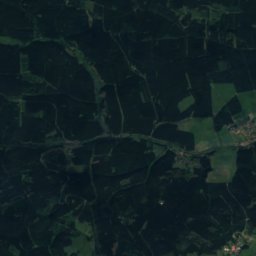
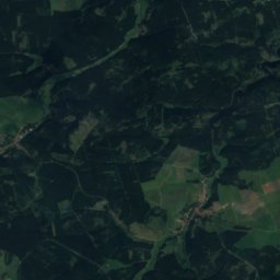
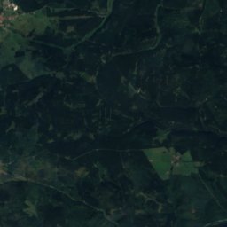
Satellite: Sentinel-2 cloudless 2016 by EOX IT Services GmbH · CC BY 4.0 · Contains modified Copernicus Sentinel data 2016
Ebersberg, Saxony-Anhalt
687 m
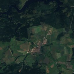
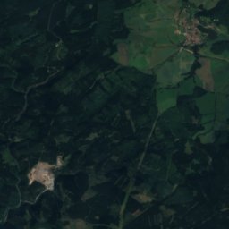
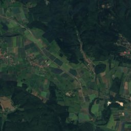
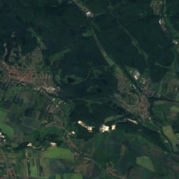
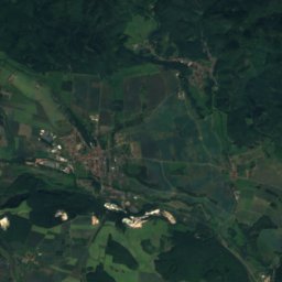
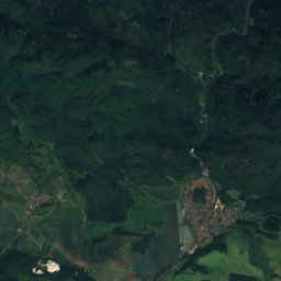
Satellite: Sentinel-2 cloudless 2016 by EOX IT Services GmbH · CC BY 4.0 · Contains modified Copernicus Sentinel data 2016
Großer Ehrenberg
636 m · Harz
Satellite: Sentinel-2 cloudless 2016 by EOX IT Services GmbH · CC BY 4.0 · Contains modified Copernicus Sentinel data 2016
Wagnerskopf
633 m · Harz
Heritage

Museums



Satellite: Sentinel-2 cloudless 2016 by EOX IT Services GmbH · CC BY 4.0 · Contains modified Copernicus Sentinel data 2016
Barbarossa Cave




Satellite: Sentinel-2 cloudless 2016 by EOX IT Services GmbH · CC BY 4.0 · Contains modified Copernicus Sentinel data 2016
Museum Schloss Heringen




Satellite: Sentinel-2 cloudless 2016 by EOX IT Services GmbH · CC BY 4.0 · Contains modified Copernicus Sentinel data 2016