
Photo: Ingo2802 · CC BY-SA 3.0 · Wikimedia Commons
Marktkirche, LageReport this photo · linked, not stored
Marktkirche, LageReport this photo · linked, not stored

Photo: Falko Sieker · CC BY-SA 4.0 · Wikimedia Commons
Alte Burg in Lage (Lippe)Report this photo · linked, not stored
Alte Burg in Lage (Lippe)Alte Burg in Lage (Lippe)Report this photo · linked, not stored

Photo: Ub12vow · CC BY-SA 3.0 · Wikimedia Commons
Technikum LageReport this photo · linked, not stored
Technikum LageTechnikum LageReport this photo · linked, not stored

Photo: Tsungam · CC BY-SA 3.0 · Wikimedia Commons
Jüdischer Friedhof, LageReport this photo · linked, not stored
Jüdischer Friedhof, LageJüdischer Friedhof, LageReport this photo · linked, not stored
 Schloss Iggenhausen
churchLage, North Rhine-Westphalia
Marktkirche, Lage
architectural heritage monument in North Rhine-Westphalia
Typechurch
Built–
Best monthsMay–Jun · Sepweather in Lage
51.99° N, 8.79° EUTC+1 · Central European Standard Time
When to goLage · weather score
Best timeMay–Jun · Sep
October: high / low14° / 7°
iAbout
Marktkirche, Lage in brief
Marktkirche, Lage is a church in Lage, North Rhine-Westphalia, Germany.
It holds the designation architectural heritage monument in North Rhine-Westphalia.
For a visit, the weather in Lage is best in May, June and September; in October afternoons average 14°.
Facts
- Type
- church
- Designation
- architectural heritage monument in North Rhine-Westphalia
- Nearest town
- Lage
- Region
- North Rhine-Westphalia
- Coordinates
- 51.99060, 8.79200
iiLocation
Where to find it
ivNearby
All monuments in GermanyMore heritage close by
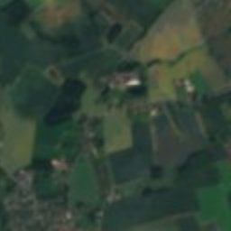
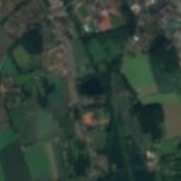
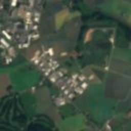
Satellite: Sentinel-2 cloudless 2016 by EOX IT Services GmbH · CC BY 4.0 · Contains modified Copernicus Sentinel data 2016
Rathaus Lage
under 100 m SE
architectural heritage monument in North Rhine-Westphalia
Alte Burg in Lage (Lippe)
0.2 km W
architectural heritage monument in North Rhine-Westphalia
Jüdischer Friedhof, Lage
1.1 km NE
architectural heritage monument in North Rhine-Westphalia
Schloss Iggenhausen
3.8 km NW
architectural heritage monument in North Rhine-Westphalia

Evangelisch-reformierte Kirche Heiden
4.0 km E
architectural heritage monument in North Rhine-Westphalia
Around here
Lage and around

Nature


Mountains

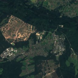
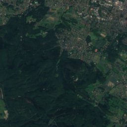
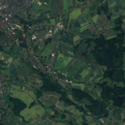
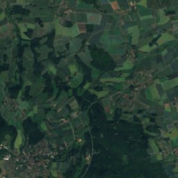
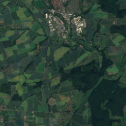
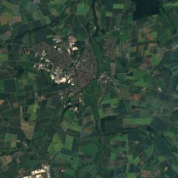
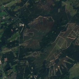
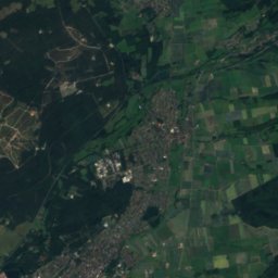
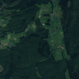
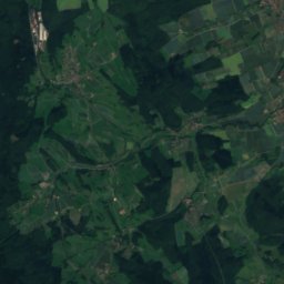
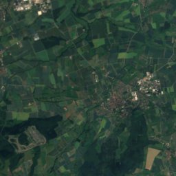
Satellite: Sentinel-2 cloudless 2016 by EOX IT Services GmbH · CC BY 4.0 · Contains modified Copernicus Sentinel data 2016
Preußische Velmerstot
468 m

Heritage
Alte Burg in Lage (Lippe)
architectural heritage monument in North Rhine-Westphalia
Jüdischer Friedhof, Lage
architectural heritage monument in North Rhine-Westphalia
Museums
Satellite: Sentinel-2 cloudless 2016 by EOX IT Services GmbH · CC BY 4.0 · Contains modified Copernicus Sentinel data 2016
Brickyard Lage
2001
Satellite: Sentinel-2 cloudless 2016 by EOX IT Services GmbH · CC BY 4.0 · Contains modified Copernicus Sentinel data 2016
Car Museum Lemgo
Automobile museum


