

Photo: --Rensi 21:51, 25. Mär. 2009 (CET) · Public domain · Wikimedia Commons
St. Peter und Paul, EichstättReport this photo · linked, not stored
St. Peter und Paul, EichstättSt. Peter und Paul, EichstättReport this photo · linked, not stored

Photo: Rufus46 · CC BY-SA 3.0 · Wikimedia Commons
Luitpoldstraße 26Report this photo · linked, not stored
Luitpoldstraße 26Luitpoldstraße 26Report this photo · linked, not stored

Photo: WaldiWuff · CC0 · Wikimedia Commons
Pfarrgasse 3, EichstättReport this photo · linked, not stored
Pfarrgasse 3, EichstättPfarrgasse 3, EichstättReport this photo · linked, not stored

Photo: Rufus46 · CC BY-SA 3.0 · Wikimedia Commons
Domplatz 3, EichstättReport this photo · linked, not stored
Domplatz 3, EichstättDomplatz 3, EichstättReport this photo · linked, not stored
houseEichstätt, Bavaria
Marktgasse 9
architectural heritage monument in Bavaria
Typehouse
Built–
Best monthsJul–Sepweather in Eichstätt
48.89° N, 11.19° EUTC+1 · Central European Standard Time
When to goEichstätt · weather score
Best timeJul–Sep
October: high / low14° / 5°
iAbout
Marktgasse 9 in brief
Marktgasse 9 is a house in Eichstätt, Bavaria, Germany.
It holds the designation architectural heritage monument in Bavaria.
For a visit, the weather in Eichstätt is best in July, August and September; in October afternoons average 14°.
iiLocation
Where to find it
iiiWhen to visit
Climate guideWeather in Eichstätt
Month score for sightseeing
Best Jul–Sep20
Jan
27
Feb
26
Mar
60
Apr
63
May
65
Jun
66
Jul
69
Aug
72
Sep
46
Oct
25
Nov
18
Dec
ivNearby
All monuments in GermanyMore heritage close by
Photo: --Rensi 21:51, 25. Mär. 2009 (CET) · Public domain · Wikimedia CommonsReport this photo · linked, not stored
St. Peter und Paul, Eichstätt
under 100 m E
former architectural heritage monument in Bavaria
Pfarrgasse 3, Eichstätt
under 100 m W
architectural heritage monument in Bavaria

Satellite: Sentinel-2 cloudless 2016 by EOX IT Services GmbH · CC BY 4.0 · Contains modified Copernicus Sentinel data 2016
Taufkapelle St. Johannes Baptist
0.1 km SW
architectural heritage monument in Bavaria
Around here
Eichstätt and around

Nature
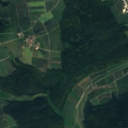
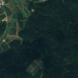
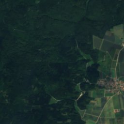
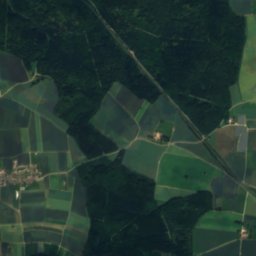
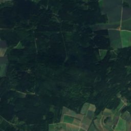
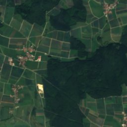
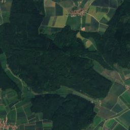
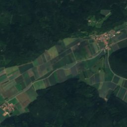
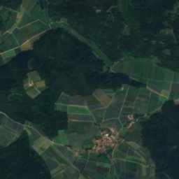
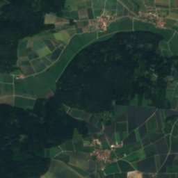
Satellite: Sentinel-2 cloudless 2016 by EOX IT Services GmbH · CC BY 4.0 · Contains modified Copernicus Sentinel data 2016
Gießgraben (Schutter)
River


Mountains

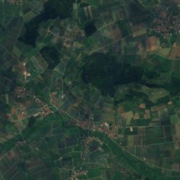
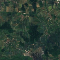
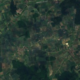
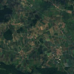
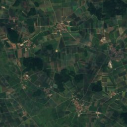
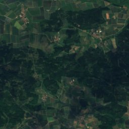
Satellite: Sentinel-2 cloudless 2016 by EOX IT Services GmbH · CC BY 4.0 · Contains modified Copernicus Sentinel data 2016
Efferaberg
645 m · Hahnenkamm
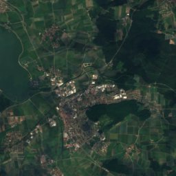
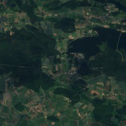
Satellite: Sentinel-2 cloudless 2016 by EOX IT Services GmbH · CC BY 4.0 · Contains modified Copernicus Sentinel data 2016
Spielberg, Bavaria
645 m · Hahnenkamm
Heritage

Benediktinerinnenabtei St. Walburg
architectural heritage monument in Bavaria · 1074


Marienbrunnen, Eichstätt
architectural heritage monument in Bavaria · 1777
Museums
Satellite: Sentinel-2 cloudless 2016 by EOX IT Services GmbH · CC BY 4.0 · Contains modified Copernicus Sentinel data 2016
Jura Museum
Natural history museum · 1976


Photo: © Heinrich Stürzl / Wikimedia Commons · CC BY-SA 4.0 · Wikimedia CommonsReport this photo · linked, not stored

Museum Das Jurahaus
2014