Skip to content
Destinations
Weather & climate
Nature
Outdoors
Culture
Events
Sky & live
Markt 18
Photo: Olaf Meister · CC BY-SA 4.0 · Wikimedia Commons
Markt 18Report this photo · linked, not stored
Burgstraße 5, Haldensleben I
Photo: Olaf Meister · CC BY-SA 4.0 · Wikimedia Commons
Burgstraße 5, Haldensleben IReport this photo · linked, not stored
Burgstraße 5, Haldensleben I
Grüttefiensches Haus
Photo: Olaf Meister · CC BY-SA 3.0 · Wikimedia Commons
Grüttefiensches HausReport this photo · linked, not stored
Grüttefiensches Haus
Breiter Stein
Photo: Clemensfranz · CC BY-SA 3.0 · Wikimedia Commons
Breiter SteinReport this photo · linked, not stored
Breiter Stein
Rathaus Haldensleben
Photo: Olaf Meister · CC BY-SA 3.0 · Wikimedia Commons
Rathaus HaldenslebenReport this photo · linked, not stored
Rathaus Haldensleben
built structureHaldensleben I, Saxony-Anhalt

Markt 18

heritage monument in Saxony-Anhalt
Typebuilt structure
Built–
Best monthsMay–Jun · Sepweather in Haldensleben I
52.29° N, 11.41° EUTC+1 · Central European Standard Time
When to goHaldensleben I · weather score
JanFebMarAprMayJunJulAugSepOctNovDec49October
Best timeMay–Jun · Sep
October: high / low14° / 6°
iAbout

Markt 18 in brief

Markt 18 is a built structure in Haldensleben I, Saxony-Anhalt, Germany.

It holds the designation heritage monument in Saxony-Anhalt.

For a visit, the weather in Haldensleben I is best in May, June and September; in October afternoons average 14°.

Haldensleben I: weather and travel guide

Facts

Type
built structure
Designation
heritage monument in Saxony-Anhalt
Nearest town
Haldensleben I
Region
Saxony-Anhalt
Coordinates
52.29152, 11.41296
iiLocation

Where to find it

iiiWhen to visit

Weather in Haldensleben I

Climate guide

Month score for sightseeing

Best May–Jun · Sep
ivNearby

More heritage close by

All monuments in Germany
Burgstraße 5, Haldensleben I
Photo: Olaf Meister · CC BY-SA 4.0 · Wikimedia CommonsReport this photo · linked, not stored

Burgstraße 5, Haldensleben I

under 100 m SE
Kulturdenkmal
Burgstraße 5, Haldensleben I
Grüttefiensches Haus
Photo: Olaf Meister · CC BY-SA 3.0 · Wikimedia CommonsReport this photo · linked, not stored

Grüttefiensches Haus

under 100 m NW
Kulturdenkmal
Grüttefiensches Haus
Breiter Stein
Photo: Clemensfranz · CC BY-SA 3.0 · Wikimedia CommonsReport this photo · linked, not stored

Breiter Stein

under 100 m SW
Kulturdenkmal
Breiter Stein
Rathaus Haldensleben
Photo: Olaf Meister · CC BY-SA 3.0 · Wikimedia CommonsReport this photo · linked, not stored

Rathaus Haldensleben

under 100 m SW
Kulturdenkmal
Rathaus Haldensleben
Stendaler Straße 1
Photo: Olaf Meister · CC BY-SA 4.0 · Wikimedia CommonsReport this photo · linked, not stored

Stendaler Straße 1

under 100 m NW
Kulturdenkmal
Stendaler Straße 1
Reitender Roland Haldensleben
Photo: Olaf Meister (Olaf2) · CC BY-SA 3.0 · Wikimedia CommonsReport this photo · linked, not stored

Reitender Roland Haldensleben

under 100 m SW
Kulturdenkmal
Reitender Roland Haldensleben
Around here

Haldensleben I and around

Haldensleben I
Photo: Clemensfranz · CC BY-SA 3.0 · Wikimedia CommonsReport this photo · linked, not stored

Haldensleben I

Saxony-Anhalt · Germany
May–Jun · Sepbest months
25°July high
54 maltitude
Haldensleben I

Nature

Beber, Saxony-Anhalt
Photo: Geisterbob · CC BY-SA 3.0 · Wikimedia CommonsReport this photo · linked, not stored
3.3 km E

Beber, Saxony-Anhalt

River · 47 m
Beber, Saxony-Anhalt
Born-Dorster-Bäk
Photo: Nuxvonhier · CC0 · Wikimedia CommonsReport this photo · linked, not stored
9.7 km N

Born-Dorster-Bäk

River
Born-Dorster-Bäk
Klare Grete
Photo: Nuxvonhier · Public domain · Wikimedia CommonsReport this photo · linked, not stored
11 km NW

Klare Grete

River
Klare Grete

Mountains

Kniel
Photo: Olaf Meister · CC BY-SA 3.0 · Wikimedia CommonsReport this photo · linked, not stored
27 km S

Kniel

205 m
Kniel
Flechtingen Hills
Photo: Bjoertvedt · CC BY-SA 3.0 · Wikimedia CommonsReport this photo · linked, not stored
13 km W

Flechtingen Hills

179 m
Flechtingen Hills
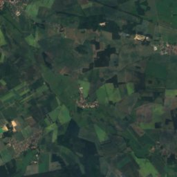
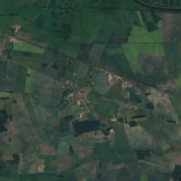
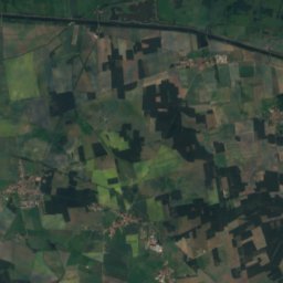
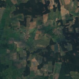
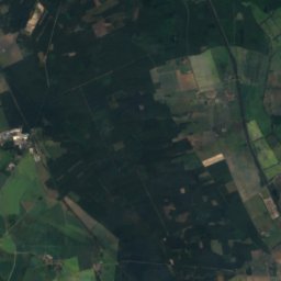
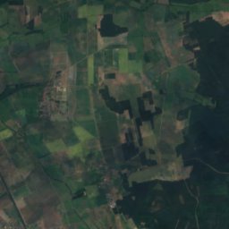
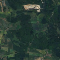
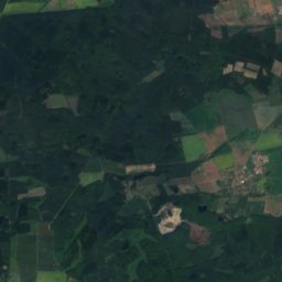
Satellite: Sentinel-2 cloudless 2016 by EOX IT Services GmbH · CC BY 4.0 · Contains modified Copernicus Sentinel data 2016
11 km NW

Raben-Berg

146 m · Calvörder Berge
Raben-Berg

Heritage

Bahnhofstraße 4
Photo: Olaf Meister · CC BY-SA 4.0 · Wikimedia CommonsReport this photo · linked, not stored
0.2 km SE

Bahnhofstraße 4

heritage monument in Saxony-Anhalt · 1909
Bahnhofstraße 4
Sankt-Marien-Kirche
Photo: Olaf Meister · CC BY-SA 3.0 · Wikimedia CommonsReport this photo · linked, not stored
0.3 km NE

Sankt-Marien-Kirche

heritage monument in Saxony-Anhalt
Sankt-Marien-Kirche
Reitender Roland Haldensleben
Photo: Olaf Meister (Olaf2) · CC BY-SA 3.0 · Wikimedia CommonsReport this photo · linked, not stored
0.3 km NE

Reitender Roland Haldensleben

Kulturdenkmal
Reitender Roland Haldensleben

Museums

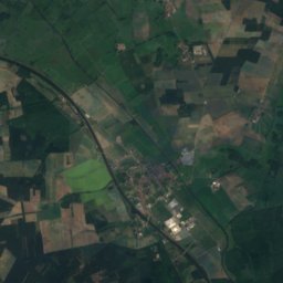
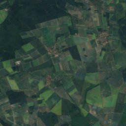
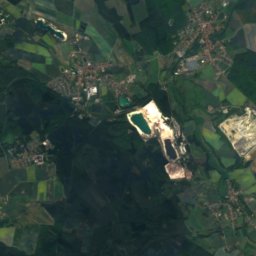
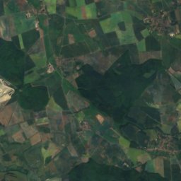
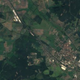
Satellite: Sentinel-2 cloudless 2016 by EOX IT Services GmbH · CC BY 4.0 · Contains modified Copernicus Sentinel data 2016
under 100 m NE

Museum Haldensleben

1910
Museum Haldensleben
Rektorat
Photo: Wistula · CC BY-SA 4.0 · Wikimedia CommonsReport this photo · linked, not stored
4.6 km S

Rektorat

Rektorat
Amtsgerichtsgebäude Calvörde
Photo: Nuxvonhier · CC0 · Wikimedia CommonsReport this photo · linked, not stored
14 km NW

Amtsgerichtsgebäude Calvörde

Local museum
Amtsgerichtsgebäude Calvörde