Skip to content
Destinations
Weather & climate
Nature
Outdoors
Culture
Events
Sky & live
Maria Eich
Photo: JosefKard · CC BY 3.0 · Wikimedia Commons
Maria EichReport this photo · linked, not stored
Waldkirche
Photo: Renardo la vulpo · CC BY-SA 4.0 · Wikimedia Commons
WaldkircheReport this photo · linked, not stored
Waldkirche
Valentin-Haus
Photo: Oderfing · CC BY-SA 3.0 · Wikimedia Commons
Valentin-HausReport this photo · linked, not stored
Valentin-Haus
Schloss Planegg
Photo: Gras-Ober · CC BY-SA 3.0 · Wikimedia Commons
Schloss PlaneggReport this photo · linked, not stored
Schloss Planegg
Schlosskapelle Pasinger Straße 5 in Planegg
Photo: JosefKard · CC BY-SA 3.0 · Wikimedia Commons
Schlosskapelle Pasinger Straße 5 in PlaneggReport this photo · linked, not stored
Schlosskapelle Pasinger Straße 5 in Planegg
monasteryKrailling, Bavaria

Maria Eich

architectural heritage monument in Bavaria
Typemonastery
Built–by Michael Steinbrecher
Best monthsJul–Sepweather in Krailling
48.11° N, 11.41° EUTC+2 · Central European Summer Time
When to goKrailling · weather score
JanFebMarAprMayJunJulAugSepOctNovDec48October
Best timeJul–Sep
October: high / low14° / 5°
iAbout

Maria Eich in brief

Maria Eich is a monastery in Krailling, Bavaria, Germany.

It holds the designation architectural heritage monument in Bavaria.

The monastery was designed by Michael Steinbrecher.

For a visit, the weather in Krailling is best in July, August and September; in October afternoons average 14°.

Krailling: weather and travel guide

Facts

Type
monastery
Designation
architectural heritage monument in Bavaria
Architect
Michael Steinbrecher
Nearest town
Krailling
Region
Bavaria
Coordinates
48.10652, 11.40896
iiLocation

Where to find it

iiiWhen to visit

Weather in Krailling

Climate guide

Month score for sightseeing

Best Jul–Sep
21
Jan
27
Feb
25
Mar
53
Apr
62
May
64
Jun
66
Jul
65
Aug
69
Sep
48
Oct
26
Nov
17
Dec
ivNearby

More heritage close by

All monuments in Germany
Waldkirche
Photo: Renardo la vulpo · CC BY-SA 4.0 · Wikimedia CommonsReport this photo · linked, not stored

Waldkirche

0.6 km NE
architectural heritage monument in Bavaria
Waldkirche
Valentin-Haus
Photo: Oderfing · CC BY-SA 3.0 · Wikimedia CommonsReport this photo · linked, not stored

Valentin-Haus

1.0 km E
architectural heritage monument in Bavaria
Valentin-Haus
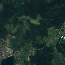
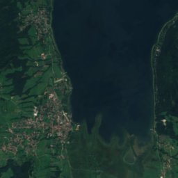
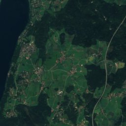
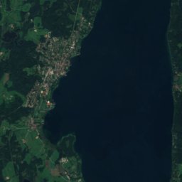
Satellite: Sentinel-2 cloudless 2016 by EOX IT Services GmbH · CC BY 4.0 · Contains modified Copernicus Sentinel data 2016

St. Margaret, Planegg

1.1 km SE
architectural heritage monument in Bavaria
St. Margaret, Planegg
Schloss Planegg
Photo: Gras-Ober · CC BY-SA 3.0 · Wikimedia CommonsReport this photo · linked, not stored

Schloss Planegg

1.1 km SE
architectural heritage monument in Bavaria
Schloss Planegg
Schlosskapelle Pasinger Straße 5 in Planegg
Photo: JosefKard · CC BY-SA 3.0 · Wikimedia CommonsReport this photo · linked, not stored

Schlosskapelle Pasinger Straße 5 in Planegg

1.1 km SE
architectural heritage monument in Bavaria
Schlosskapelle Pasinger Straße 5 in Planegg
Linner Mühle
Photo: I. Berger · CC BY-SA 3.0 · Wikimedia CommonsReport this photo · linked, not stored

Linner Mühle

1.1 km S
architectural heritage monument in Bavaria
Linner Mühle
Around here

Krailling and around

Krailling
Photo: Furukama · CC BY-SA 3.0 · Wikimedia CommonsReport this photo · linked, not stored

Krailling

Bavaria · Germany
Jul–Sepbest months
24°July high
562 maltitude
Krailling

Nature

Würm, Bavaria
Photo: High Contrast · CC BY 3.0 de · Wikimedia CommonsReport this photo · linked, not stored
12 km S

Würm, Bavaria

River
Würm, Bavaria
Weßlinger See
Photo: Carsten Steger · CC BY-SA 4.0 · Wikimedia CommonsReport this photo · linked, not stored
11 km W

Weßlinger See

Lake · 590 m
Weßlinger See
Erlbach, Bavaria
Photo: Wasquewhat · CC BY-SA 4.0 · Wikimedia CommonsReport this photo · linked, not stored
5.8 km N

Erlbach, Bavaria

River · 503 m
Erlbach, Bavaria

Mountains

Taubenberg
Photo: Gras-Ober, Wikipedia/Wikimedia Commons (cc-by-sa-3.0) · CC BY-SA 3.0 · Wikimedia CommonsReport this photo · linked, not stored
40 km SE

Taubenberg

896 m · Southern Alpine Foreland
Taubenberg
Buchberg (Kocheler Berge)
Photo: Wasquewhat · CC BY-SA 4.0 · Wikimedia CommonsReport this photo · linked, not stored
39 km S

Buchberg (Kocheler Berge)

857 m · Bavarian Prealps
Buchberg (Kocheler Berge)
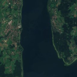
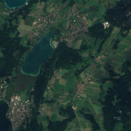
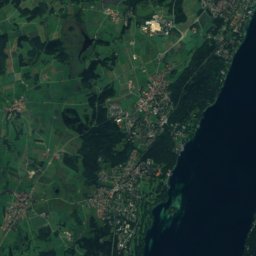
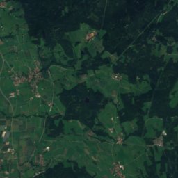
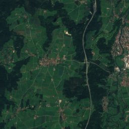
Satellite: Sentinel-2 cloudless 2016 by EOX IT Services GmbH · CC BY 4.0 · Contains modified Copernicus Sentinel data 2016
24 km SW

Berndorfer Buchet

760 m
Berndorfer Buchet

Heritage

Waldkirche
Photo: Renardo la vulpo · CC BY-SA 4.0 · Wikimedia CommonsReport this photo · linked, not stored
1.5 km NE

Waldkirche

architectural heritage monument in Bavaria
Waldkirche
Gräfelfing village town hall
Photo: Carl von Einem (Einemnet) · CC BY-SA 4.0 · Wikimedia CommonsReport this photo · linked, not stored
3.0 km NE

Gräfelfing village town hall

architectural heritage monument in Bavaria
Gräfelfing village town hall
Schloss Planegg
Photo: Gras-Ober · CC BY-SA 3.0 · Wikimedia CommonsReport this photo · linked, not stored
1.7 km E

Schloss Planegg

architectural heritage monument in Bavaria
Schloss Planegg

Museums

Deutsches Skimuseum
Photo: Flocci Nivis · CC BY 4.0 · Wikimedia CommonsReport this photo · linked, not stored
1.5 km E

Deutsches Skimuseum

Sports museum · 2002
Deutsches Skimuseum
Alte Pinakothek
Photo: Photo: Andreas Praefcke · CC BY 3.0 · Wikimedia CommonsReport this photo · linked, not stored
14 km NE

Alte Pinakothek

Art museum · 1836
Alte Pinakothek
Neue Pinakothek
Photo: Bärwinkel,Klaus · CC BY 3.0 · Wikimedia CommonsReport this photo · linked, not stored
14 km NE

Neue Pinakothek

Pinacotheca · 1853
Neue Pinakothek