
Photo: Störfix · CC BY-SA 3.0 · Wikimedia Commons
MädchenschuleReport this photo · linked, not stored
MädchenschuleReport this photo · linked, not stored

Photo: Störfix · CC BY-SA 3.0 · Wikimedia Commons
St. Salvator, AhornReport this photo · linked, not stored
St. Salvator, AhornSt. Salvator, AhornReport this photo · linked, not stored

Photo: Foto: Störfix, Lizenz: Creative Commons by-sa 3.0 de · CC BY-SA 3.0 de · Wikimedia Commons
LichtensteinturmReport this photo · linked, not stored
LichtensteinturmLichtensteinturmReport this photo · linked, not stored

Photo: Störfix · CC BY-SA 3.0 · Wikimedia Commons
Wohn- und Geschäftshaus, AhornReport this photo · linked, not stored
Wohn- und Geschäftshaus, AhornWohn- und Geschäftshaus, AhornReport this photo · linked, not stored

Photo: Foto: Störfix, Lizenz: Creative Commons by-sa 3.0 de · CC BY-SA 3.0 de · Wikimedia Commons
Bärenturm (Coburg)Report this photo · linked, not stored
Bärenturm (Coburg)Bärenturm (Coburg)Report this photo · linked, not stored
built structureAhorn, Bavaria
Mädchenschule
architectural heritage monument in BavariaBuilt 1806
Typebuilt structure
Built1806
Best monthsJun · Aug–Sepweather in Ahorn
50.26° N, 10.97° EUTC+1 · Central European Standard Time
Standing for220 years
built 1806today 2026
When to goAhorn · weather score
Best timeJun · Aug–Sep
October: high / low13° / 5°
iAbout
Mädchenschule in brief
Mädchenschule is a built structure in Ahorn, Bavaria, Germany.
It holds the designation architectural heritage monument in Bavaria.
The built structure dates from 1806.
For a visit, the weather in Ahorn is best in June, August and September; in October afternoons average 13°.
iiLocation
Where to find it
iiiWhen to visit
Climate guideWeather in Ahorn
Month score for sightseeing
Best Jun · Aug–Sep15
Jan
24
Feb
23
Mar
56
Apr
65
May
66
Jun
65
Jul
67
Aug
72
Sep
43
Oct
19
Nov
13
Dec
ivNearby
All monuments in GermanyMore heritage close by
Photo: Foto: Störfix, Lizenz: Creative Commons by-sa 3.0 de · CC BY-SA 3.0 de · Wikimedia CommonsReport this photo · linked, not stored
Lichtensteinturm
under 100 m S
architectural heritage monument in Bavaria
Wohn- und Geschäftshaus, Ahorn
under 100 m NW
architectural heritage monument in Bavaria
Photo: Foto: Störfix, Lizenz: Creative Commons by-sa 3.0 de · CC BY-SA 3.0 de · Wikimedia CommonsReport this photo · linked, not stored
Bärenturm (Coburg)
0.1 km NE
architectural heritage monument in Bavaria

Gymnasium Casimirianum Coburg
0.1 km N
architectural heritage monument in Bavaria

Photo: Foto: Störfix, Lizenz: Creative Commons by-sa 3.0 de · CC BY-SA 3.0 de · Wikimedia CommonsReport this photo · linked, not stored
Torturm, Ahorn
0.1 km SW
architectural heritage monument in Bavaria
Around here
Ahorn and around

Nature


Photo: © Freak-Line-Community / Wikimedia Commons · CC BY-SA 3.0 · Wikimedia CommonsReport this photo · linked, not stored
Lauter (Itz)
River

Mountains


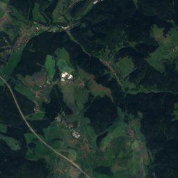

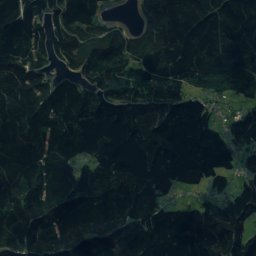
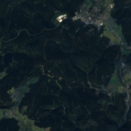
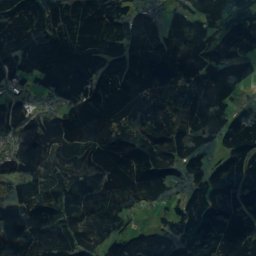
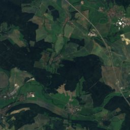
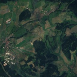
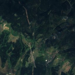

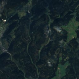
Satellite: Sentinel-2 cloudless 2016 by EOX IT Services GmbH · CC BY 4.0 · Contains modified Copernicus Sentinel data 2016
Kieferle
867 m · Thuringian Highland

Heritage

Photo: Unknown authorUnknown author · Public domain · Wikimedia CommonsReport this photo · linked, not stored
Ehrenburg Palace
architectural heritage monument in Bavaria


Museums


Photo: Foto: Störfix, Lizenz: Creative Commons by-sa 3.0 de · CC BY-SA 3.0 de · Wikimedia CommonsReport this photo · linked, not stored
Schlossmuseum, Cortendorf













Satellite: Sentinel-2 cloudless 2016 by EOX IT Services GmbH · CC BY 4.0 · Contains modified Copernicus Sentinel data 2016