

Photo: Brunswyk · CC BY-SA 3.0 · Wikimedia Commons
St. Andreas, BraunschweigReport this photo · linked, not stored
St. Andreas, BraunschweigSt. Andreas, BraunschweigReport this photo · linked, not stored

Photo: TeWeBs · CC BY-SA 4.0 · Wikimedia Commons
Kemenate Reichsstraße 36Report this photo · linked, not stored
Kemenate Reichsstraße 36Kemenate Reichsstraße 36Report this photo · linked, not stored

Photo: User:Brunswyk · CC BY-SA 3.0 · Wikimedia Commons
Achtermannsches HausReport this photo · linked, not stored
Achtermannsches HausAchtermannsches HausReport this photo · linked, not stored

Photo: User:Brunswyk · CC BY-SA 3.0 · Wikimedia Commons
Neustadtrathaus (Braunschweig)Report this photo · linked, not stored
Neustadtrathaus (Braunschweig)Neustadtrathaus (Braunschweig)Report this photo · linked, not stored
buildingBraunschweig, Lower Saxony
Liberei
architectural heritage monumentBuilt 1412
Typebuilding
Built1412
Best monthsMay–Jun · Sepweather in Braunschweig
52.27° N, 10.52° EUTC+2 · Central European Summer Time
Standing for614 years
built 1412today 2026
When to goBraunschweig · weather score
Best timeMay–Jun · Sep
October: high / low14° / 7°
iAbout
Liberei in brief
Liberei is a building in Braunschweig, Lower Saxony, Germany.
It holds the designation architectural heritage monument.
The building dates from 1412.
For a visit, the weather in Braunschweig is best in May, June and September; in October afternoons average 14°.
Facts
- Type
- building
- Designation
- architectural heritage monument
- Built
- 1412
- Nearest town
- Braunschweig
- Region
- Lower Saxony
- Coordinates
- 52.26800, 10.52090
iiLocation
Where to find it
ivNearby
All monuments in GermanyMore heritage close by
St. Andreas, Braunschweig
under 100 m W
architectural heritage monument in Lower Saxony
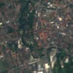
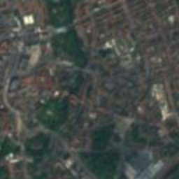

Satellite: Sentinel-2 cloudless 2016 by EOX IT Services GmbH · CC BY 4.0 · Contains modified Copernicus Sentinel data 2016
Alte Waage, Braunschweig
0.1 km SW
architectural heritage monument
Kemenate Reichsstraße 36
0.1 km SE
architectural heritage monument in Lower Saxony
Neustadtrathaus (Braunschweig)
0.2 km S
architectural heritage monument in Lower Saxony

Around here
Braunschweig and around

Nature


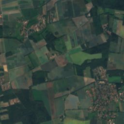
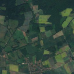
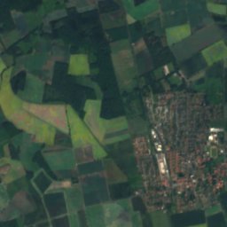
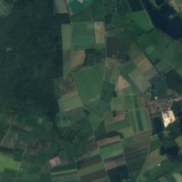
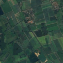
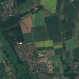
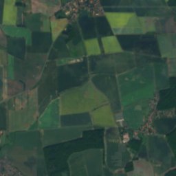
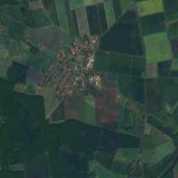
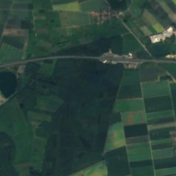
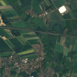
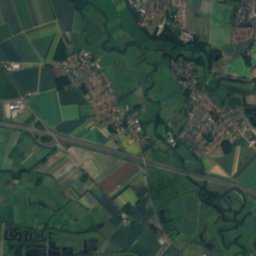
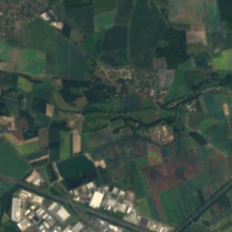
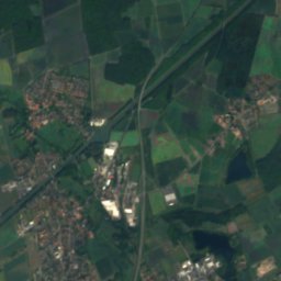
Mountains
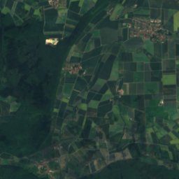
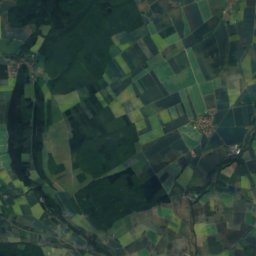
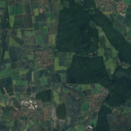
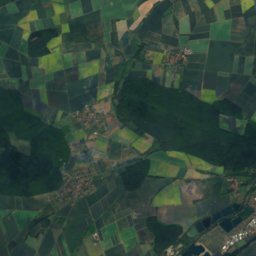
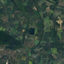
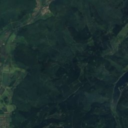
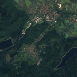
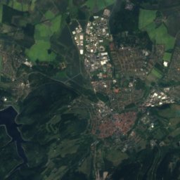
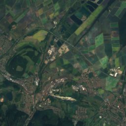
Satellite: Sentinel-2 cloudless 2016 by EOX IT Services GmbH · CC BY 4.0 · Contains modified Copernicus Sentinel data 2016
Steinberg, Goslar
472 m · Harz


Heritage

Photo: Jorge Saturno / Wikimedia Commons / “Brunswick - Brunswick Cathedral - 202008301 · CC BY-SA 4.0 · Wikimedia CommonsReport this photo · linked, not stored
Brunswick Cathedral
architectural heritage monument in Lower Saxony · 1173

Photo: Stefan Schäfer, Lich · CC BY-SA 4.0 · Wikimedia CommonsReport this photo · linked, not stored
Dankwarderode Castle
architectural heritage monument · 1200

Town hall of Brunswick, Germany
architectural heritage monument in Lower Saxony · 1894
Museums
Satellite: Sentinel-2 cloudless 2016 by EOX IT Services GmbH · CC BY 4.0 · Contains modified Copernicus Sentinel data 2016
Herzog Anton Ulrich Museum
Art museum · 1754

Staatliches Naturhistorisches Museum Braunschweig
Natural history museum · 1754


Satellite: Sentinel-2 cloudless 2016 by EOX IT Services GmbH · CC BY 4.0 · Contains modified Copernicus Sentinel data 2016