
Photo: Ginkgo2g · CC BY-SA 3.0 · Wikimedia Commons
Kloster ThulbaReport this photo · linked, not stored
Kloster ThulbaReport this photo · linked, not stored

Photo: Ginkgo2g · CC BY-SA 3.0 · Wikimedia Commons
Klosterkirche, OberthulbaReport this photo · linked, not stored
Klosterkirche, OberthulbaKlosterkirche, OberthulbaReport this photo · linked, not stored

Photo: Tilman2007 · CC BY-SA 4.0 · Wikimedia Commons
Bildstock Nähe Propstei in OberthulbaReport this photo · linked, not stored
Bildstock Nähe Propstei in OberthulbaBildstock Nähe Propstei in OberthulbaReport this photo · linked, not stored

Photo: Ginkgo2g · CC BY-SA 3.0 · Wikimedia Commons
Kreuzschlepper (Thulba)Report this photo · linked, not stored
Kreuzschlepper (Thulba)Kreuzschlepper (Thulba)Report this photo · linked, not stored

Photo: Tilman2007 · CC BY-SA 4.0 · Wikimedia Commons
Pietà, OberthulbaReport this photo · linked, not stored
Pietà, OberthulbaPietà, OberthulbaReport this photo · linked, not stored
religious communityOberthulba, Bavaria
Kloster Thulba
architectural heritage monument in Bavaria
Typereligious community
Built–
Best monthsJun · Aug–Sepweather in Oberthulba
50.18° N, 9.92° EUTC+1 · Central European Standard Time
When to goOberthulba · weather score
Best timeJun · Aug–Sep
October: high / low13° / 5°
iAbout
Kloster Thulba in brief
Kloster Thulba is a religious community in Oberthulba, Bavaria, Germany.
It holds the designation architectural heritage monument in Bavaria.
For a visit, the weather in Oberthulba is best in June, August and September; in October afternoons average 13°.
Facts
- Type
- religious community
- Designation
- architectural heritage monument in Bavaria
- Nearest town
- Oberthulba
- Region
- Bavaria
- Coordinates
- 50.17923, 9.92045
iiLocation
Where to find it
iiiWhen to visit
Climate guideWeather in Oberthulba
Month score for sightseeing
Best Jun · Aug–Sep14
Jan
22
Feb
23
Mar
58
Apr
66
May
67
Jun
65
Jul
67
Aug
72
Sep
41
Oct
16
Nov
13
Dec
ivNearby
All monuments in GermanyMore heritage close by
Klosterkirche, Oberthulba
under 100 m NW
architectural heritage monument in Bavaria
Bildstock Nähe Propstei in Oberthulba
under 100 m W
architectural heritage monument in Bavaria
Kreuzschlepper (Thulba)
under 100 m NW
architectural heritage monument in Bavaria


Bildstock Thulba in Oberthulba
0.4 km SE
architectural heritage monument in Bavaria
Around here
Oberthulba and around

Nature


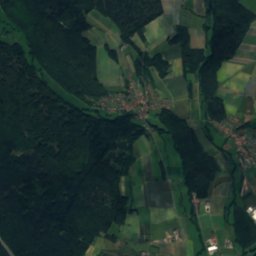
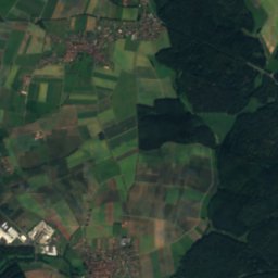
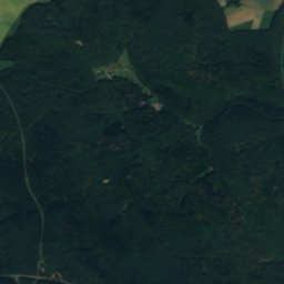
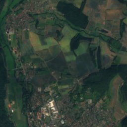
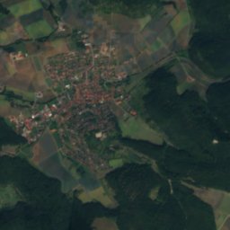
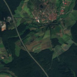
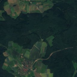
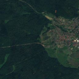
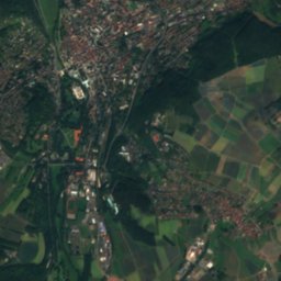
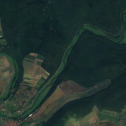
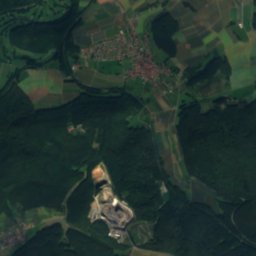
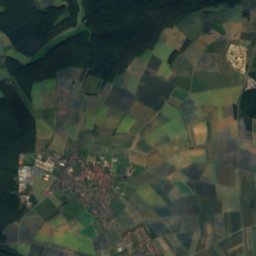
Satellite: Sentinel-2 cloudless 2016 by EOX IT Services GmbH · CC BY 4.0 · Contains modified Copernicus Sentinel data 2016
Wichtelhöhlen SW von Bad Kissingen
Cave · 250 m
Mountains


Photo: Dieter Schmitt, Fulda (DSC) · CC BY 3.0 · Wikimedia CommonsReport this photo · linked, not stored
Dammersfeldkuppe
928 m · Rhön Mountains

Heritage

Prozessionsaltar (Oberthulba, Hintere Torstraße)
architectural heritage monument in Bavaria

Kreuzschlepper (Oberthulba, Obere Torstraße 8)
architectural heritage monument in Bavaria

Prozessionsaltar (Oberthulba, Marktplatz)
architectural heritage monument in Bavaria
Museums





Satellite: Sentinel-2 cloudless 2016 by EOX IT Services GmbH · CC BY 4.0 · Contains modified Copernicus Sentinel data 2016