
Photo: Radler59 · CC BY-SA 3.0 · Wikimedia Commons
Kirche WaldaReport this photo · linked, not stored
Kirche WaldaReport this photo · linked, not stored

Photo: Grossenhayn · CC BY-SA 3.0 · Wikimedia Commons
Protestant church, BaudaReport this photo · linked, not stored
Protestant church, BaudaProtestant church, BaudaReport this photo · linked, not stored

Photo: Christian Liebscher (Platte) · CC BY-SA 3.0 · Wikimedia Commons
Großenhain Berliner BahnhofReport this photo · linked, not stored
Großenhain Berliner BahnhofGroßenhain Berliner BahnhofReport this photo · linked, not stored

Photo: Radler59 (talk) · CC BY-SA 4.0 · Wikimedia Commons
Dorfkirche SkassaReport this photo · linked, not stored
Dorfkirche SkassaDorfkirche SkassaReport this photo · linked, not stored

Photo: LutzBruno · CC BY 3.0 · Wikimedia Commons
Großenhain Cottbuser Bahnhof railway stationReport this photo · linked, not stored
Großenhain Cottbuser Bahnhof railway stationGroßenhain Cottbuser Bahnhof railway stationReport this photo · linked, not stored
churchZabeltitz, Saxony
Kirche Walda
heritage monument in SaxonyBuilt 1220
Typechurch
Built1220
Best monthsMay–Jun · Sepweather in Zabeltitz
51.32° N, 13.49° EUTC+1 · Central European Standard Time
Standing for806 years
built 1220today 2026
When to goZabeltitz · weather score
Best timeMay–Jun · Sep
October: high / low15° / 6°
iAbout
Kirche Walda in brief
Kirche Walda is a church in Zabeltitz, Saxony, Germany.
It holds the designation heritage monument in Saxony.
The church dates from 1220.
For a visit, the weather in Zabeltitz is best in May, June and September; in October afternoons average 15°.
iiLocation
Where to find it
iiiWhen to visit
Climate guideWeather in Zabeltitz
Month score for sightseeing
Best May–Jun · Sep17
Jan
26
Feb
25
Mar
65
Apr
69
May
69
Jun
63
Jul
68
Aug
73
Sep
53
Oct
24
Nov
18
Dec
ivNearby
All monuments in GermanyMore heritage close by
Photo: Christian Liebscher (Platte) · CC BY-SA 3.0 · Wikimedia CommonsReport this photo · linked, not stored
Großenhain Berliner Bahnhof
3.2 km SE
heritage monument in Saxony
Großenhain Cottbuser Bahnhof railway station
3.8 km SE
heritage monument in Saxony


Around here
Zabeltitz and around

Nature

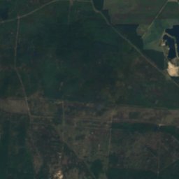
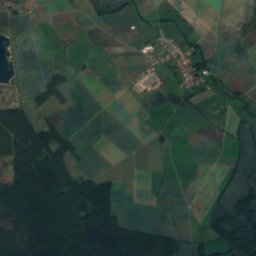
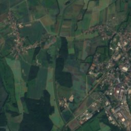
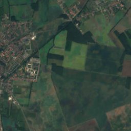
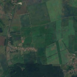
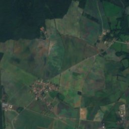
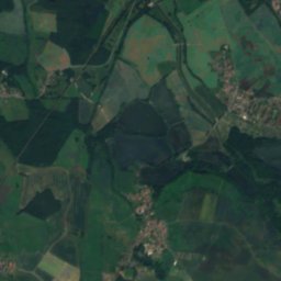
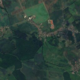
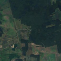
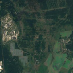
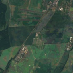
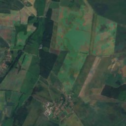
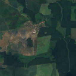
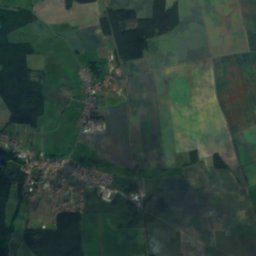
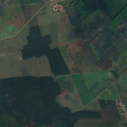
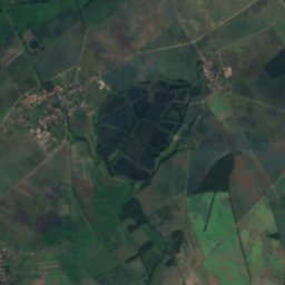
Satellite: Sentinel-2 cloudless 2016 by EOX IT Services GmbH · CC BY 4.0 · Contains modified Copernicus Sentinel data 2016
Toffels-Teich
Lake · 94 m
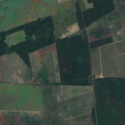
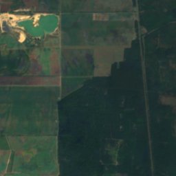
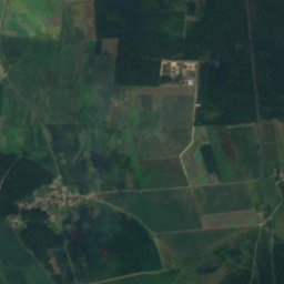
Satellite: Sentinel-2 cloudless 2016 by EOX IT Services GmbH · CC BY 4.0 · Contains modified Copernicus Sentinel data 2016
Großer Teich, Nauwalde
Lake · 98 m
Mountains
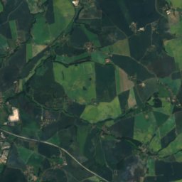
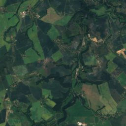
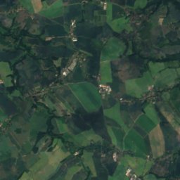
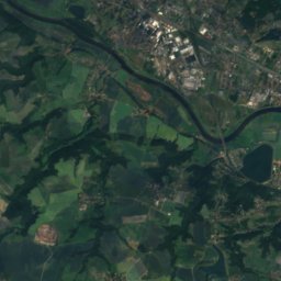
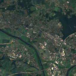
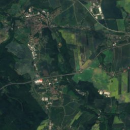
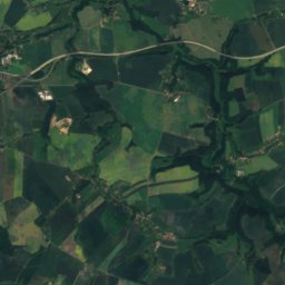
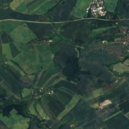
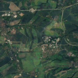
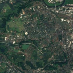
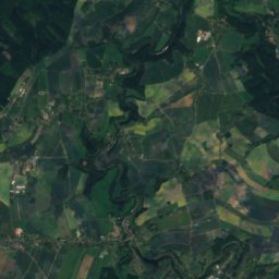
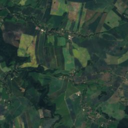
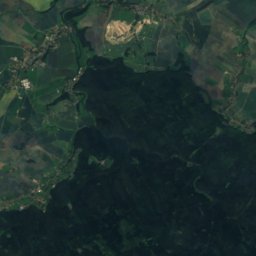
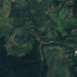
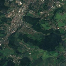
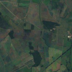
Satellite: Sentinel-2 cloudless 2016 by EOX IT Services GmbH · CC BY 4.0 · Contains modified Copernicus Sentinel data 2016
Landberg
426 m


Heritage

St. Mary's Church, Großenhain
heritage monument in Saxony · 1744
Museums





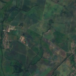
Satellite: Sentinel-2 cloudless 2016 by EOX IT Services GmbH · CC BY 4.0 · Contains modified Copernicus Sentinel data 2016
Museum Alte Lateinschule
1907









Satellite: Sentinel-2 cloudless 2016 by EOX IT Services GmbH · CC BY 4.0 · Contains modified Copernicus Sentinel data 2016
Sächsisches Feuerwehrmuseum Zeithain
Firefighting museum