Skip to content
Destinations
Weather & climate
Nature
Outdoors
Culture
Events
Sky & live
Kirche Machern
Photo: Radler59 (talk) · CC BY-SA 4.0 · Wikimedia Commons
Kirche MachernReport this photo · linked, not stored
Kirche Gerichshain
Photo: Ghostwriter123 · CC BY-SA 4.0 · Wikimedia Commons
Kirche GerichshainReport this photo · linked, not stored
Kirche Gerichshain
Stadtkirche Brandis
Photo: Jwaller · CC BY-SA 3.0 · Wikimedia Commons
Stadtkirche BrandisReport this photo · linked, not stored
Stadtkirche Brandis
St. Laurentius, Brandis
Photo: Jwaller · CC BY-SA 3.0 · Wikimedia Commons
St. Laurentius, BrandisReport this photo · linked, not stored
St. Laurentius, Brandis
Brandis-Waldpolenz Airbase
Photo: Radler59 (talk) · CC BY-SA 4.0 · Wikimedia Commons
Brandis-Waldpolenz AirbaseReport this photo · linked, not stored
Brandis-Waldpolenz Airbase
parish churchMachern, Saxony

Kirche Machern

heritage monument in SaxonyBuilt 1300
Typeparish church
Built1300
Best monthsMay · Aug–Sepweather in Machern
51.36° N, 12.63° EUTC+2 · Central European Summer Time
Standing for726 years
built 1300today 2026
When to goMachern · weather score
JanFebMarAprMayJunJulAugSepOctNovDec50October
Best timeMay · Aug–Sep
October: high / low14° / 6°
iAbout

Kirche Machern in brief

Kirche Machern is a parish church in Machern, Saxony, Germany.

It holds the designation heritage monument in Saxony.

The parish church dates from 1300.

For a visit, the weather in Machern is best in May, August and September; in October afternoons average 14°.

Machern: weather and travel guide

Facts

Type
parish church
Designation
heritage monument in Saxony
Built
1300
Nearest town
Machern
Region
Saxony
Coordinates
51.36104, 12.62713
iiLocation

Where to find it

iiiWhen to visit

Weather in Machern

Climate guide

Month score for sightseeing

Best May · Aug–Sep
17
Jan
26
Feb
25
Mar
62
Apr
69
May
68
Jun
64
Jul
69
Aug
73
Sep
50
Oct
23
Nov
18
Dec
ivNearby

More heritage close by

All monuments in Germany
Kirche Gerichshain
Photo: Ghostwriter123 · CC BY-SA 4.0 · Wikimedia CommonsReport this photo · linked, not stored

Kirche Gerichshain

3.1 km W
heritage monument in Saxony
Kirche Gerichshain
Stadtkirche Brandis
Photo: Jwaller · CC BY-SA 3.0 · Wikimedia CommonsReport this photo · linked, not stored

Stadtkirche Brandis

3.2 km S
heritage monument in Saxony
Stadtkirche Brandis
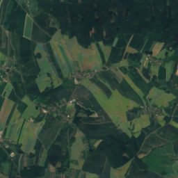
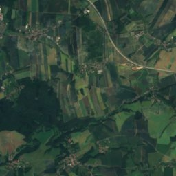
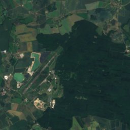
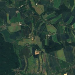
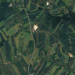
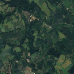
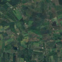
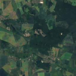
Satellite: Sentinel-2 cloudless 2016 by EOX IT Services GmbH · CC BY 4.0 · Contains modified Copernicus Sentinel data 2016

Schloss Brandis

3.4 km SW
Kulturdenkmal
Schloss Brandis
St. Laurentius, Brandis
Photo: Jwaller · CC BY-SA 3.0 · Wikimedia CommonsReport this photo · linked, not stored

St. Laurentius, Brandis

4.1 km SE
heritage monument in Saxony
St. Laurentius, Brandis
Brandis-Waldpolenz Airbase
Photo: Radler59 (talk) · CC BY-SA 4.0 · Wikimedia CommonsReport this photo · linked, not stored

Brandis-Waldpolenz Airbase

4.2 km SE
heritage monument in Saxony
Brandis-Waldpolenz Airbase
St. Peter's Church, Machern
Photo: Radler59 (talk) · CC BY 4.0 · Wikimedia CommonsReport this photo · linked, not stored

St. Peter's Church, Machern

4.6 km N
heritage monument in Saxony
St. Peter's Church, Machern
Around here

Machern and around

Machern
Photo: Grombo · CC BY-SA 3.0 · Wikimedia CommonsReport this photo · linked, not stored

Machern

Saxony · Germany
May · Aug–Sepbest months
25°July high
154 maltitude
Machern

Nature

Lossa, Saxony
Photo: Jwaller · CC BY-SA 3.0 · Wikimedia CommonsReport this photo · linked, not stored
9.7 km N

Lossa, Saxony

River
Lossa, Saxony
Pösgraben
Photo: Geisler Martin · CC BY-SA 3.0 · Wikimedia CommonsReport this photo · linked, not stored
8.0 km SW

Pösgraben

River
Pösgraben
Naunhofer See
Photo: Derbrauni · CC BY-SA 4.0 · Wikimedia CommonsReport this photo · linked, not stored
8.5 km S

Naunhofer See

Lake · 126 m
Naunhofer See

Mountains

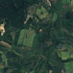
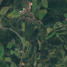
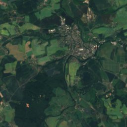
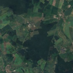
Satellite: Sentinel-2 cloudless 2016 by EOX IT Services GmbH · CC BY 4.0 · Contains modified Copernicus Sentinel data 2016
39 km S

Rochlitzer Berg

353 m
Rochlitzer Berg
Collmberg
Photo: Jwaller · CC BY-SA 3.0 · Wikimedia CommonsReport this photo · linked, not stored
27 km E

Collmberg

313 m
Collmberg
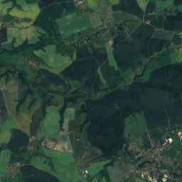
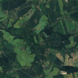
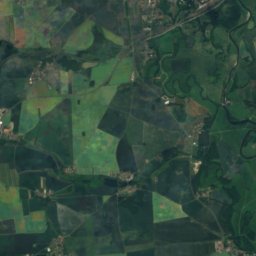
Satellite: Sentinel-2 cloudless 2016 by EOX IT Services GmbH · CC BY 4.0 · Contains modified Copernicus Sentinel data 2016
13 km NE

Löbenberg

240 m · Hohburg Hills
Löbenberg

Heritage

Dom St. Marien zu Wurzen
Photo: Joeb07 · CC BY 3.0 · Wikimedia CommonsReport this photo · linked, not stored
6.9 km E

Dom St. Marien zu Wurzen

heritage monument in Saxony · 1101
Dom St. Marien zu Wurzen
Emmauskirche, Leipzig
Photo: Joeb07 · CC BY 3.0 · Wikimedia CommonsReport this photo · linked, not stored
15 km W

Emmauskirche, Leipzig

heritage monument in Saxony · 1898
Emmauskirche, Leipzig
Eilenburg railway station
Photo: Joeb07 · CC BY 3.0 · Wikimedia CommonsReport this photo · linked, not stored
9.5 km N

Eilenburg railway station

heritage monument in Saxony · 1871
Eilenburg railway station

Museums

Stasi-Bunker Lübschützer Teiche
Photo: Joachim Köhler · CC BY-SA 4.0 · Wikimedia CommonsReport this photo · linked, not stored
1.7 km NE

Stasi-Bunker Lübschützer Teiche

Military museum
Stasi-Bunker Lübschützer Teiche
Stadtmuseum Eilenburg
Photo: Joeb07 · CC BY 3.0 · Wikimedia CommonsReport this photo · linked, not stored
10 km N

Stadtmuseum Eilenburg

1900
Stadtmuseum Eilenburg
Althener Anger 19, Leipzig
Photo: Cookroach · CC BY-SA 4.0 · Wikimedia CommonsReport this photo · linked, not stored
8.5 km W

Althener Anger 19, Leipzig

Althener Anger 19, Leipzig