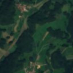
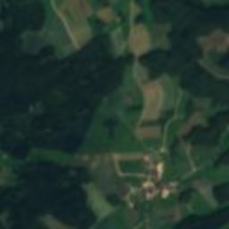
Satellite: Sentinel-2 cloudless 2016 by EOX IT Services GmbH · CC BY 4.0 · Contains modified Copernicus Sentinel data 2016
 Zoolithen Cave

Photo: Derzno · CC BY-SA 3.0 · Wikimedia Commons
Quackenschloss CaveReport this photo · linked, not stored
Quackenschloss CaveQuackenschloss CaveReport this photo · linked, not stored

Photo: © Derzno (via Wikimedia-Commons) · CC BY-SA 4.0 · Wikimedia Commons
EsperhöhleReport this photo · linked, not stored
EsperhöhleEsperhöhleReport this photo · linked, not stored

Photo: AndreasH · CC BY-SA 2.0 de · Wikimedia Commons
DruidenhainReport this photo · linked, not stored
DruidenhainDruidenhainReport this photo · linked, not stored
archaeological siteGößweinstein, Bavaria
Kemenate
architectural heritage monument in BavariaBuilt 1122
Typearchaeological site
Built1122
Best monthsJun · Aug–Sepweather in Gößweinstein
49.78° N, 11.29° EUTC+1 · Central European Standard Time
Standing for904 years
built 1122today 2026
When to goGößweinstein · weather score
Best timeJun · Aug–Sep
October: high / low13° / 5°
iAbout
Kemenate in brief
Kemenate is an archaeological site in Gößweinstein, Bavaria, Germany.
It holds the designation architectural heritage monument in Bavaria.
The archaeological site dates from 1122.
For a visit, the weather in Gößweinstein is best in June, August and September; in October afternoons average 13°.
Facts
- Type
- archaeological site
- Designation
- architectural heritage monument in Bavaria
- Built
- 1122
- Nearest town
- Gößweinstein
- Region
- Bavaria
- Coordinates
- 49.78007, 11.28864
iiLocation
Where to find it
iiiWhen to visit
Climate guideWeather in Gößweinstein
Month score for sightseeing
Best Jun · Aug–Sep14
Jan
22
Feb
22
Mar
51
Apr
62
May
65
Jun
64
Jul
68
Aug
71
Sep
39
Oct
20
Nov
13
Dec
ivNearby
All monuments in GermanyMore heritage close by
Photo: © Derzno (via Wikimedia-Commons) · CC BY-SA 4.0 · Wikimedia CommonsReport this photo · linked, not stored
Esperhöhle
1.2 km SE
natural monument in Germany


Around here
Gößweinstein and around

Nature

Photo: © Freak-Line-Community / Wikimedia Commons · CC BY-SA 3.0 · Wikimedia CommonsReport this photo · linked, not stored
Ailsbach
River · 296 m
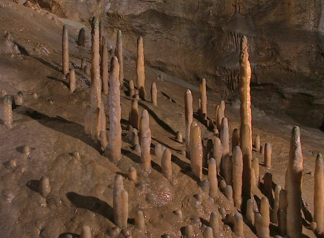
Photo: Magnus Gertkemper · CC BY-SA 2.0 de · Wikimedia CommonsReport this photo · linked, not stored
Devil's Cave
Cave · 380 m

Mountains
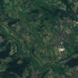
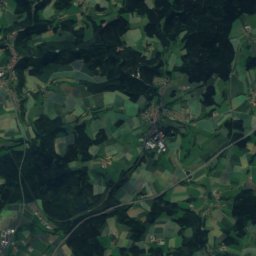
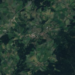
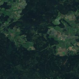
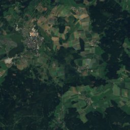
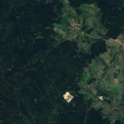
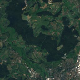
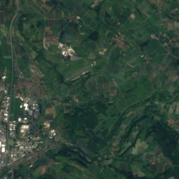
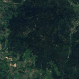
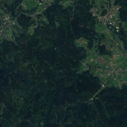
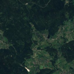
Satellite: Sentinel-2 cloudless 2016 by EOX IT Services GmbH · CC BY 4.0 · Contains modified Copernicus Sentinel data 2016
Hohberg
863 m · Fichtel Mountains


Heritage


Burgstall Oberntüchersfeld
architectural heritage monument in Bavaria · 1240
Museums

Satellite: Sentinel-2 cloudless 2016 by EOX IT Services GmbH · CC BY 4.0 · Contains modified Copernicus Sentinel data 2016
Wallfahrtsmuseum Gößweinstein


Satellite: Sentinel-2 cloudless 2016 by EOX IT Services GmbH · CC BY 4.0 · Contains modified Copernicus Sentinel data 2016