
Photo: Sail over · CC BY-SA 3.0 · Wikimedia Commons
HelmichsteineReport this photo · linked, not stored
HelmichsteineReport this photo · linked, not stored

Photo: Daniel Brockpähler · CC BY-SA 3.0 · Wikimedia Commons
Zisterzienserinnenkloster RulleReport this photo · linked, not stored
Zisterzienserinnenkloster RulleZisterzienserinnenkloster RulleReport this photo · linked, not stored

Photo: Sail over · CC BY-SA 3.0 · Wikimedia Commons
Oestringer SteineReport this photo · linked, not stored
Oestringer SteineOestringer SteineReport this photo · linked, not stored

Photo: Balkonhuf · CC BY-SA 4.0 · Wikimedia Commons
Windmühle LechtingenReport this photo · linked, not stored
Windmühle LechtingenWindmühle LechtingenReport this photo · linked, not stored

Photo: Ramsch · CC BY-SA 4.0 · Wikimedia Commons
Schmerzhafte MutterReport this photo · linked, not stored
Schmerzhafte MutterSchmerzhafte MutterReport this photo · linked, not stored
megalithic tombWallenhorst, Lower Saxony
Helmichsteine
architectural heritage monument in Lower Saxony
Typemegalithic tomb
Built–
Best monthsMay–Jun · Sepweather in Wallenhorst
52.33° N, 8.07° EUTC+1 · Central European Standard Time
When to goWallenhorst · weather score
Best timeMay–Jun · Sep
October: high / low14° / 7°
iAbout
Helmichsteine in brief
Helmichsteine is a megalithic tomb in Wallenhorst, Lower Saxony, Germany.
It holds the designation architectural heritage monument in Lower Saxony.
For a visit, the weather in Wallenhorst is best in May, June and September; in October afternoons average 14°.
Facts
- Type
- megalithic tomb
- Designation
- architectural heritage monument in Lower Saxony
- Nearest town
- Wallenhorst
- Region
- Lower Saxony
- Coordinates
- 52.33180, 8.07072
iiLocation
Where to find it
ivNearby
All monuments in GermanyMore heritage close by
Zisterzienserinnenkloster Rulle
1.2 km W
architectural heritage monument in Lower Saxony


Around here
Wallenhorst and around

Nature


Mountains

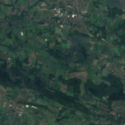
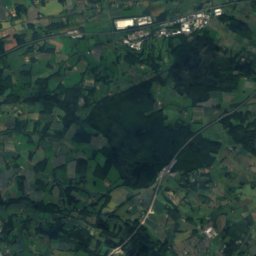
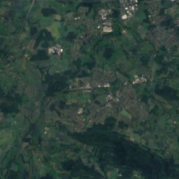
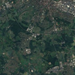
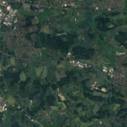
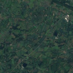
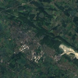
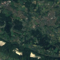
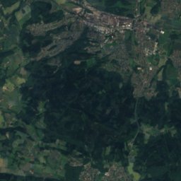
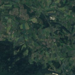
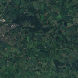
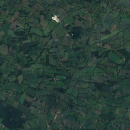
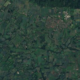
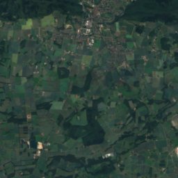
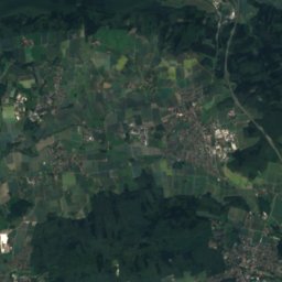
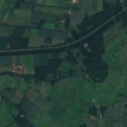
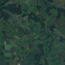
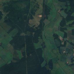
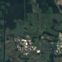
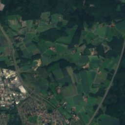
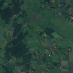
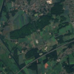
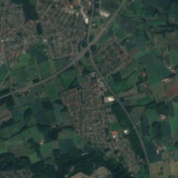
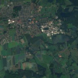
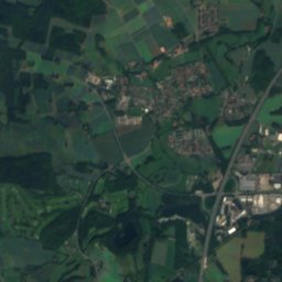
Satellite: Sentinel-2 cloudless 2016 by EOX IT Services GmbH · CC BY 4.0 · Contains modified Copernicus Sentinel data 2016
Grafensundern
315 m · Teutoburg Forest

Heritage
Zisterzienserinnenkloster Rulle
architectural heritage monument in Lower Saxony · 1246

Neue St.-Alexander-Kirche
architectural heritage monument in Lower Saxony

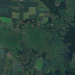
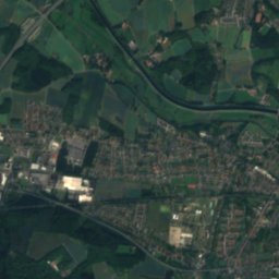
Satellite: Sentinel-2 cloudless 2016 by EOX IT Services GmbH · CC BY 4.0 · Contains modified Copernicus Sentinel data 2016
Alte St.-Alexander-Kirche (Wallenhorst)
architectural heritage monument in Lower Saxony
Museums

Photo: --Nightflyer (talk) 18:51, 20 April 2016 (UTC) · CC BY-SA 4.0 · Wikimedia CommonsReport this photo · linked, not stored
Museum Industriekultur Osnabrück
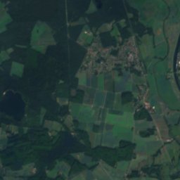
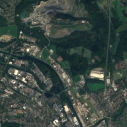
Satellite: Sentinel-2 cloudless 2016 by EOX IT Services GmbH · CC BY 4.0 · Contains modified Copernicus Sentinel data 2016
Museum für feldspurige Industriebahnen Osnabrück-Piesberg
Heritage railway


