
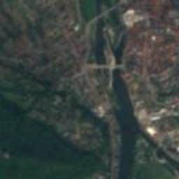





Satellite: Sentinel-2 cloudless 2016 by EOX IT Services GmbH · CC BY 4.0 · Contains modified Copernicus Sentinel data 2016

Photo: Stefan Flöper / Wikimedia Commons · CC BY-SA 4.0 · Wikimedia Commons
Osterstraße 12Report this photo · linked, not stored
Osterstraße 12Osterstraße 12Report this photo · linked, not stored

Photo: Bush6984 · CC BY-SA 4.0 · Wikimedia Commons
Raths-Apotheke, HamelinReport this photo · linked, not stored
Raths-Apotheke, HamelinRaths-Apotheke, HamelinReport this photo · linked, not stored

Photo: Ymblanter · CC BY-SA 4.0 · Wikimedia Commons
HaspelmathturmReport this photo · linked, not stored
HaspelmathturmHaspelmathturmReport this photo · linked, not stored

Photo: Foto: Axel Hindemith · CC BY-SA 3.0 · Wikimedia Commons
KlüttunnelReport this photo · linked, not stored
KlüttunnelKlüttunnelReport this photo · linked, not stored
building complexHamelin, Lower Saxony
Hefehof
Kulturdenkmal
Typebuilding complex
Built–
Best monthsMay–Jun · Sepweather in Hamelin
52.10° N, 9.38° EUTC+2 · Central European Summer Time
When to goHamelin · weather score
Best timeMay–Jun · Sep
October: high / low14° / 7°
iAbout
Hefehof in brief
Hefehof is a building complex in Hamelin, Lower Saxony, Germany.
It holds the designation Kulturdenkmal.
For a visit, the weather in Hamelin is best in May, June and September; in October afternoons average 14°.
Facts
- Type
- building complex
- Designation
- Kulturdenkmal
- Nearest town
- Hamelin
- Region
- Lower Saxony
- Coordinates
- 52.09916, 9.37553
iiLocation
Where to find it
ivNearby
All monuments in GermanyMore heritage close by
Photo: Stefan Flöper / Wikimedia Commons · CC BY-SA 4.0 · Wikimedia CommonsReport this photo · linked, not stored
Osterstraße 12
1.3 km NW
architectural heritage monument
Satellite: Sentinel-2 cloudless 2016 by EOX IT Services GmbH · CC BY 4.0 · Contains modified Copernicus Sentinel data 2016
Hamelin Prison
1.5 km W
architectural heritage monument
Photo: Foto: Axel Hindemith · CC BY-SA 3.0 · Wikimedia CommonsReport this photo · linked, not stored
Klüttunnel
1.8 km W
cultural heritage monument in Lower Saxony

Around here
Hamelin and around

Nature


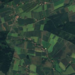
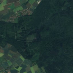
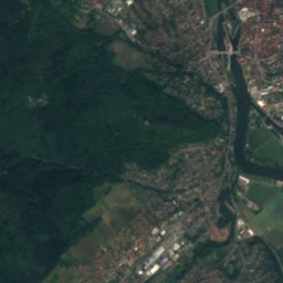
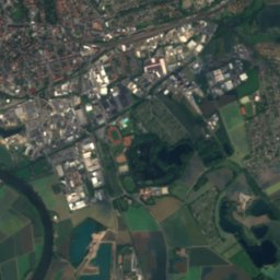
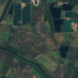
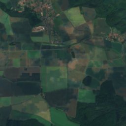
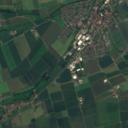
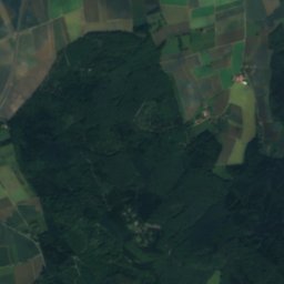
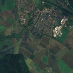
Mountains

Photo: Uli Berxel Uli Berxel · Public domain · Wikimedia CommonsReport this photo · linked, not stored
Große Blöße
528 m · Solling

Photo: Jan Stubenitzky (Dehio) · CC BY-SA 3.0 · Wikimedia CommonsReport this photo · linked, not stored
Großer Ahrensberg
525 m · Solling

Heritage
Photo: Stefan Flöper / Wikimedia Commons · CC BY-SA 4.0 · Wikimedia CommonsReport this photo · linked, not stored
Osterstraße 12
architectural heritage monument
Photo: Foto: Axel Hindemith · CC BY-SA 3.0 · Wikimedia CommonsReport this photo · linked, not stored
Klüttunnel
cultural heritage monument in Lower Saxony · 1897

Photo: Foto: Axel Hindemith · CC BY-SA 3.0 · Wikimedia CommonsReport this photo · linked, not stored
Klütturm
architectural heritage monument · 1843
Museums


Satellite: Sentinel-2 cloudless 2016 by EOX IT Services GmbH · CC BY 4.0 · Contains modified Copernicus Sentinel data 2016
Museum of Hamelin Automobile History
Automobile museum
Satellite: Sentinel-2 cloudless 2016 by EOX IT Services GmbH · CC BY 4.0 · Contains modified Copernicus Sentinel data 2016


