
Photo: Gurkentee auf de.wikipedia · CC BY-SA 2.0 de · Wikimedia Commons
Gut FarveReport this photo · linked, not stored
Gut FarveReport this photo · linked, not stored

Photo: Genet at de.wikipedia · CC BY-SA 3.0 · Wikimedia Commons
Farver MühleReport this photo · linked, not stored
Farver MühleFarver MühleReport this photo · linked, not stored

Photo: Trinsath · Public domain · Wikimedia Commons
Kirche HohensteinReport this photo · linked, not stored
Kirche HohensteinKirche HohensteinReport this photo · linked, not stored

Photo: Holger.Ellgaard · CC BY-SA 3.0 · Wikimedia Commons
Gut WeißenhausReport this photo · linked, not stored
Gut WeißenhausGut WeißenhausReport this photo · linked, not stored

Photo: Genet at de.wikipedia · CC BY-SA 3.0 · Wikimedia Commons
Döhnsdorfer BurgReport this photo · linked, not stored
Döhnsdorfer BurgDöhnsdorfer BurgReport this photo · linked, not stored
parkWangels, Schleswig-Holstein
Gut Farve
Heritage monument in Schleswig-HolsteinKulturdenkmal
TypeparkGothic Revival
Built–
Best monthsJun–Jul · Sepweather in Wangels
54.29° N, 10.79° EUTC+2 · Central European Summer Time
When to goWangels · weather score
Best timeJun–Jul · Sep
October: high / low13° / 7°
iAbout
Gut Farve in brief
Gut Farve is a park in Wangels, Schleswig-Holstein, Germany.
It holds the designations Heritage monument in Schleswig-Holstein and Kulturdenkmal.
The park is built in the Gothic Revival style.
For a visit, the weather in Wangels is best in June, July and September; in October afternoons average 13°.
Facts
- Type
- park
- Designation
- Heritage monument in Schleswig-Holstein
- Kulturdenkmal
- Style
- Gothic Revival
- Nearest town
- Wangels
- Region
- Schleswig-Holstein
- Coordinates
- 54.28530, 10.79380
iiLocation
Where to find it
iiiWhen to visit
Climate guideWeather in Wangels
Month score for sightseeing
Best Jun–Jul · Sep14
Jan
23
Feb
28
Mar
42
Apr
62
May
71
Jun
65
Jul
65
Aug
68
Sep
35
Oct
17
Nov
14
Dec
ivNearby
All monuments in GermanyMore heritage close by
Photo: Genet at de.wikipedia · CC BY-SA 3.0 · Wikimedia CommonsReport this photo · linked, not stored
Farver Mühle
0.5 km N
Heritage monument in Schleswig-Holstein
Photo: Genet at de.wikipedia · CC BY-SA 3.0 · Wikimedia CommonsReport this photo · linked, not stored
Döhnsdorfer Burg
4.0 km W
Kulturdenkmal


Around here
Wangels and around
Nature






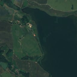
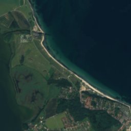
Mountains

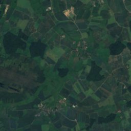
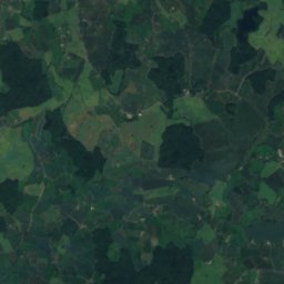
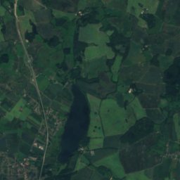
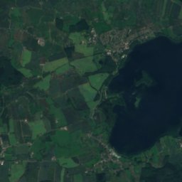
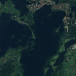
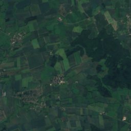
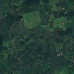
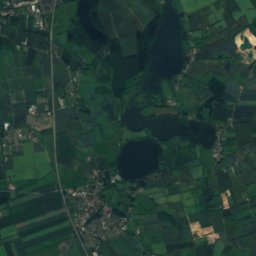
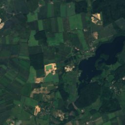
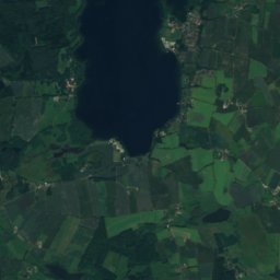
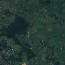
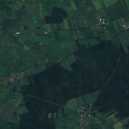
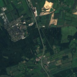
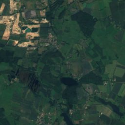
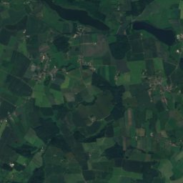
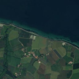
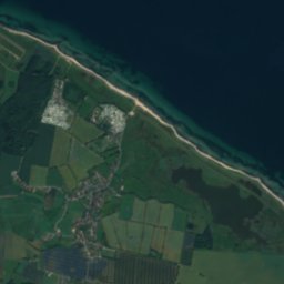
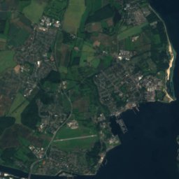
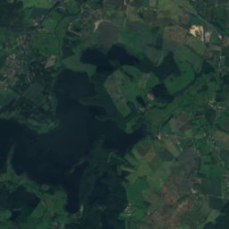
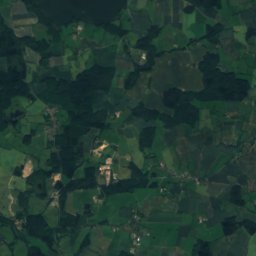
Satellite: Sentinel-2 cloudless 2016 by EOX IT Services GmbH · CC BY 4.0 · Contains modified Copernicus Sentinel data 2016
Grimmelsberg
83 m
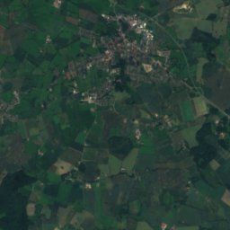
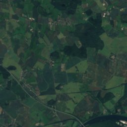
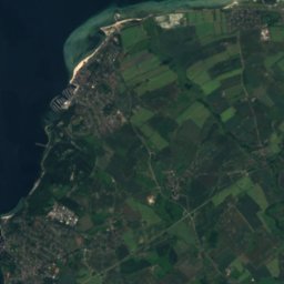
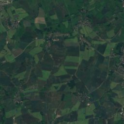
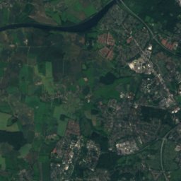
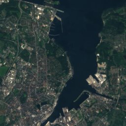
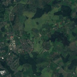
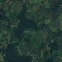
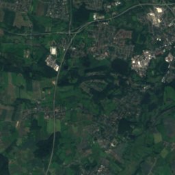
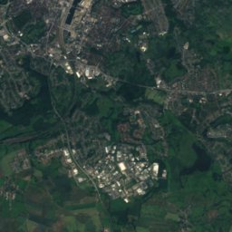
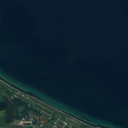
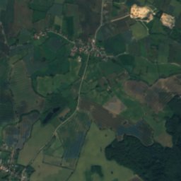
Satellite: Sentinel-2 cloudless 2016 by EOX IT Services GmbH · CC BY 4.0 · Contains modified Copernicus Sentinel data 2016
Russenberg
41 m
Heritage
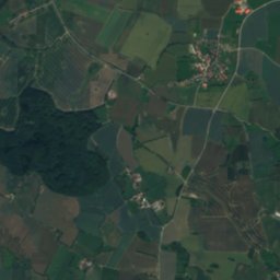
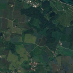
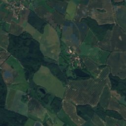
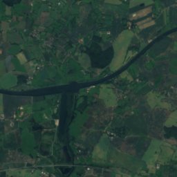
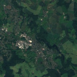
Satellite: Sentinel-2 cloudless 2016 by EOX IT Services GmbH · CC BY 4.0 · Contains modified Copernicus Sentinel data 2016
Christuskirche, Wangels
Heritage monument in Schleswig-Holstein
Photo: Genet at de.wikipedia · CC BY-SA 3.0 · Wikimedia CommonsReport this photo · linked, not stored
Farver Mühle
Heritage monument in Schleswig-Holstein


