

Photo: Purzel05 · CC BY-SA 3.0 · Wikimedia Commons
Rosenhof (Schönsee)Report this photo · linked, not stored
Rosenhof (Schönsee)Rosenhof (Schönsee)Report this photo · linked, not stored
 Rosenthal

Photo: Alois Köppl, Gleiritsch · CC BY-SA 4.0 · Wikimedia Commons
Burg Frauenstein, WeidingReport this photo · linked, not stored
Burg Frauenstein, WeidingBurg Frauenstein, WeidingReport this photo · linked, not stored

Photo: Allexkoch · CC BY-SA 3.0 · Wikimedia Commons
Ehemaliges Hammerherrenhaus, dann Mühle, sogenannte Mollermühle, bis 1937 SpiegelglasschleifeReport this photo · linked, not stored
Ehemaliges Hammerherrenhaus, dann Mühle, sogenannte Mollermühle, bis 1937 SpiegelglasschleifeEhemaliges Hammerherrenhaus, dann Mühle, sogenannte Mollermühle, bis 1937 SpiegelglasschleifeReport this photo · linked, not stored
OrtsteilWeiding, Bavaria
Gaisthal
architectural heritage monument in Bavaria
TypeOrtsteil
Built–
Best monthsJul–Sepweather in Weiding
49.48° N, 12.50° EUTC+1 · Central European Standard Time
When to goWeiding · weather score
Best timeJul–Sep
October: high / low11° / 4°
iAbout
Gaisthal in brief
Gaisthal is an ortsteil in Weiding, Bavaria, Germany.
It holds the designation architectural heritage monument in Bavaria.
For a visit, the weather in Weiding is best in July, August and September; in October afternoons average 11°.
iiLocation
Where to find it
iiiWhen to visit
Climate guideWeather in Weiding
Month score for sightseeing
Best Jul–Sep13
Jan
24
Feb
20
Mar
43
Apr
56
May
62
Jun
64
Jul
66
Aug
63
Sep
32
Oct
20
Nov
12
Dec
ivNearby
All monuments in GermanyMore heritage close by
Photo: Alois Köppl, Gleiritsch · CC BY-SA 4.0 · Wikimedia CommonsReport this photo · linked, not stored
Burg Frauenstein, Weiding
2.7 km SE
architectural heritage monument in Bavaria
Ehemaliges Hammerherrenhaus, dann Mühle, sogenannte Mollermühle, bis 1937 Spiegelglasschleife
2.9 km NE
architectural heritage monument in Bavaria
Around here
Weiding and around

Nature


Mountains
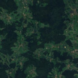
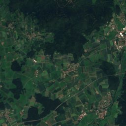
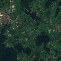
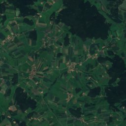
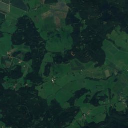
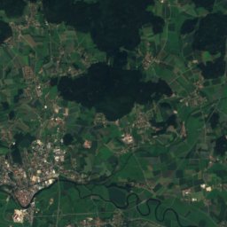
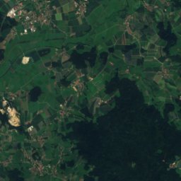
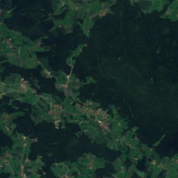
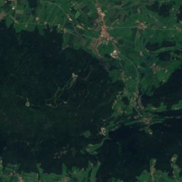
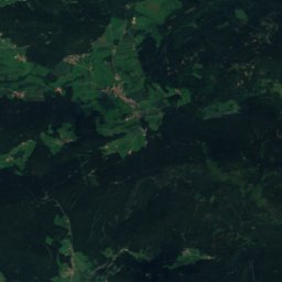
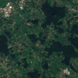
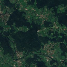
Satellite: Sentinel-2 cloudless 2016 by EOX IT Services GmbH · CC BY 4.0 · Contains modified Copernicus Sentinel data 2016
Schwarzriegel
1,079 m
Satellite: Sentinel-2 cloudless 2016 by EOX IT Services GmbH · CC BY 4.0 · Contains modified Copernicus Sentinel data 2016
Eckstein
1,055 m

Photo: Cerchov.JPG: Schmid Marco, Thanried - Stamsried. The original uploader was Schmi · CC BY-SA 3.0 de · Wikimedia CommonsReport this photo · linked, not stored
Čerchov
1,042 m · Upper Palatine Forest
Heritage

Photo: Alois Köppl, Gleiritsch · CC BY-SA 4.0 · Wikimedia CommonsReport this photo · linked, not stored
Feldkapelle, Weiding
architectural heritage monument in Bavaria
Ehemaliges Hammerherrenhaus, dann Mühle, sogenannte Mollermühle, bis 1937 Spiegelglasschleife
architectural heritage monument in Bavaria

Museums


Satellite: Sentinel-2 cloudless 2016 by EOX IT Services GmbH · CC BY 4.0 · Contains modified Copernicus Sentinel data 2016
Doktor-Eisenbarth- und Stadtmuseum




Satellite: Sentinel-2 cloudless 2016 by EOX IT Services GmbH · CC BY 4.0 · Contains modified Copernicus Sentinel data 2016