

Photo: X · Public domain · Wikimedia Commons
SONA BLW PräzisionsschmiedeReport this photo · linked, not stored
SONA BLW PräzisionsschmiedeSONA BLW PräzisionsschmiedeReport this photo · linked, not stored

Photo: Carsten Steger · CC BY-SA 4.0 · Wikimedia Commons
Neuer Israelitischer FriedhofReport this photo · linked, not stored
Neuer Israelitischer FriedhofNeuer Israelitischer FriedhofReport this photo · linked, not stored

Photo: Reinhardhauke · CC BY-SA 3.0 · Wikimedia Commons
Ungererstraße 158Report this photo · linked, not stored
Ungererstraße 158Ungererstraße 158Report this photo · linked, not stored
 Zenith
built structureUnterföhring, Bavaria
Funkkaserne
architectural heritage monument in BavariaBuilt 1936
Typebuilt structure
Built1936
Best monthsJul–Sepweather in Unterföhring
48.19° N, 11.60° EUTC+1 · Central European Standard Time
Standing for90 years
built 1936today 2026
When to goUnterföhring · weather score
Best timeJul–Sep
October: high / low14° / 5°
iAbout
Funkkaserne in brief
Funkkaserne is a built structure in Unterföhring, Bavaria, Germany. Architectural structure.
It holds the designation architectural heritage monument in Bavaria.
The built structure dates from 1936.
For a visit, the weather in Unterföhring is best in July, August and September; in October afternoons average 14°.
Facts
- Type
- built structure
- Designation
- architectural heritage monument in Bavaria
- Built
- 1936
- Nearest town
- Unterföhring
- Region
- Bavaria
- Coordinates
- 48.18615, 11.60094
iiLocation
Where to find it
iiiWhen to visit
Climate guideWeather in Unterföhring
Month score for sightseeing
Best Jul–Sep21
Jan
27
Feb
24
Mar
54
Apr
63
May
64
Jun
66
Jul
65
Aug
69
Sep
48
Oct
26
Nov
17
Dec
ivNearby
All monuments in GermanyMore heritage close by
Verwaltungsbau des Bayerischen Leichtmetallwerks
0.2 km NE
architectural heritage monument in Bavaria
Neuer Israelitischer Friedhof
0.4 km S
architectural heritage monument in Bavaria




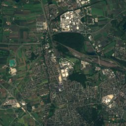
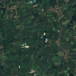
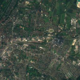
Satellite: Sentinel-2 cloudless 2016 by EOX IT Services GmbH · CC BY 4.0 · Contains modified Copernicus Sentinel data 2016
Alte Heide
0.9 km S
heritage monument ensemble in Bavaria
Around here
Unterföhring and around

Nature


Mountains

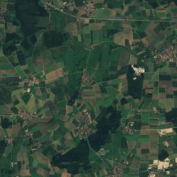
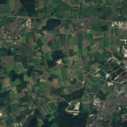
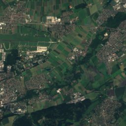
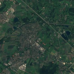
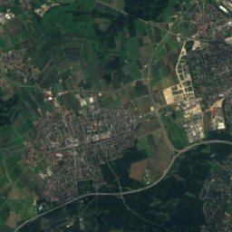
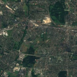
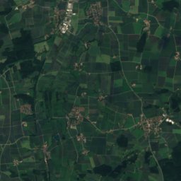
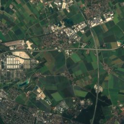
Satellite: Sentinel-2 cloudless 2016 by EOX IT Services GmbH · CC BY 4.0 · Contains modified Copernicus Sentinel data 2016
Emmeringer Leite
561 m
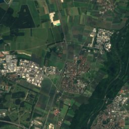
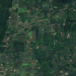
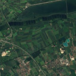
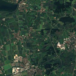
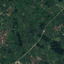
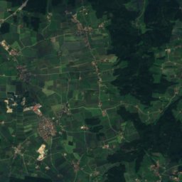
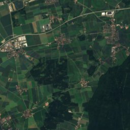
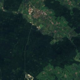
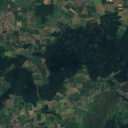
Satellite: Sentinel-2 cloudless 2016 by EOX IT Services GmbH · CC BY 4.0 · Contains modified Copernicus Sentinel data 2016
Neufarner Berg
552 m
Heritage

Holy Cross Church, Fröttmaning
architectural heritage monument in Bavaria · 801

St. Albert, Unterföhring
architectural heritage monument in Bavaria · 1933
Museums

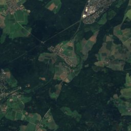
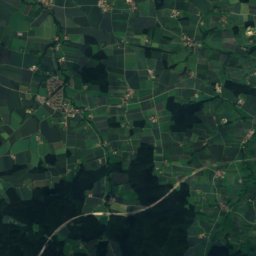
Satellite: Sentinel-2 cloudless 2016 by EOX IT Services GmbH · CC BY 4.0 · Contains modified Copernicus Sentinel data 2016
Ausstellungsgebäude Sammlung Goetz
Art museum


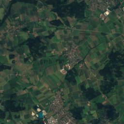
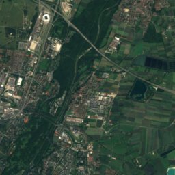
Satellite: Sentinel-2 cloudless 2016 by EOX IT Services GmbH · CC BY 4.0 · Contains modified Copernicus Sentinel data 2016
Feringer Sach
Local museum