
Photo: © Raimond Spekking / CC BY-SA 4.0 (via Wikimedia Commons) · CC BY-SA 4.0 · Wikimedia Commons
FührerbauReport this photo · linked, not stored
FührerbauReport this photo · linked, not stored

Photo: Klaus Mueller · CC BY-SA 2.5 · Wikimedia Commons
Brienner StraßeReport this photo · linked, not stored
Brienner StraßeBrienner StraßeReport this photo · linked, not stored

Photo: Martin Dosch · CC BY-SA 3.0 · Wikimedia Commons
Obelisk am KarolinenplatzReport this photo · linked, not stored
Obelisk am KarolinenplatzObelisk am KarolinenplatzReport this photo · linked, not stored

Photo: Rufus46 · CC BY-SA 3.0 · Wikimedia Commons
Amerikahaus MünchenReport this photo · linked, not stored
Amerikahaus MünchenAmerikahaus MünchenReport this photo · linked, not stored

Photo: Carsten Steger · CC BY-SA 4.0 · Wikimedia Commons
KönigsplatzReport this photo · linked, not stored
KönigsplatzKönigsplatzReport this photo · linked, not stored
buildingMunich, Bavaria
Führerbau
architectural heritage monument in BavariaBuilt 1937
TypebuildingNazi
Built1937by Paul Troost
Best monthsJul–Sepweather in Munich
48.15° N, 11.57° EUTC+1 · Central European Standard Time
Standing for89 years
built 1937today 2026
When to goMunich · weather score
Best timeJul–Sep
October: high / low14° / 5°
iAbout
Führerbau in brief
Führerbau is a building in Munich, Bavaria, Germany. Architectural structure.
It holds the designation architectural heritage monument in Bavaria.
The building dates from 1937, was designed by Paul Troost and is built in the Nazi style.
For a visit, the weather in Munich is best in July, August and September; in October afternoons average 14°.
iiLocation
Where to find it
ivNearby
All monuments in GermanyMore heritage close by
Obelisk am Karolinenplatz
0.2 km SE
architectural heritage monument in Bavaria

Photo: Maximilian Dörrbecker (Chumwa) · CC BY-SA 3.0 · Wikimedia CommonsReport this photo · linked, not stored
Münchner Haus der Kulturinstitute
0.2 km SW
architectural heritage monument in Bavaria

Around here
Munich and around

Photo: Thomas Wolf, www.foto-tw.de · CC BY-SA 3.0 de · Wikimedia CommonsReport this photo · linked, not stored
Munich
Bavaria · Germany
Jul–Sepbest months
24°July high
524 maltitude
Nature


Mountains

Photo: Gras-Ober, Wikipedia/Wikimedia Commons (cc-by-sa-3.0) · CC BY-SA 3.0 · Wikimedia CommonsReport this photo · linked, not stored
Taubenberg
896 m · Southern Alpine Foreland
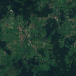
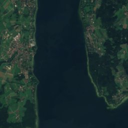
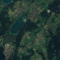
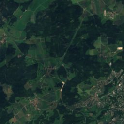
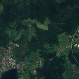
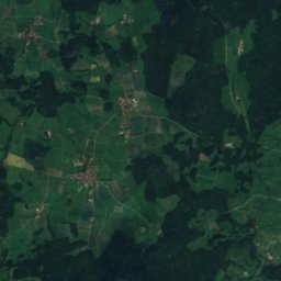
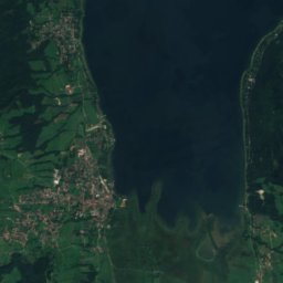
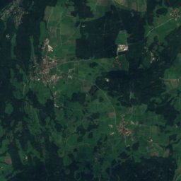
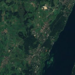
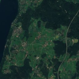
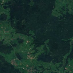
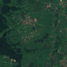
Satellite: Sentinel-2 cloudless 2016 by EOX IT Services GmbH · CC BY 4.0 · Contains modified Copernicus Sentinel data 2016
Berndorfer Buchet
760 m

Photo: Gras-Ober, Wikipedia/Wikimedia Commons (cc-by-sa-3.0) · CC BY-SA 3.0 · Wikimedia CommonsReport this photo · linked, not stored
Ilkahöhe
726 m
Heritage


New Town Hall, Munich
architectural heritage monument in Bavaria · 1909

Museums

Photo: Photo: Andreas Praefcke · CC BY 3.0 · Wikimedia CommonsReport this photo · linked, not stored
Alte Pinakothek
Art museum · 1836


