

Photo: Frank11NR on German Wikipedia · Public domain · Wikimedia Commons
Zum SpinnrädlReport this photo · linked, not stored
Zum SpinnrädlZum SpinnrädlReport this photo · linked, not stored

Photo: E.K. · CC BY-SA 3.0 · Wikimedia Commons
St.-Martins-PlatzReport this photo · linked, not stored
St.-Martins-PlatzSt.-Martins-PlatzReport this photo · linked, not stored

Photo: E.K. · CC BY-SA 3.0 · Wikimedia Commons
Unionskirche, OtterbachReport this photo · linked, not stored
Unionskirche, OtterbachUnionskirche, OtterbachReport this photo · linked, not stored

Photo: Marcus Leister · CC BY-SA 4.0 · Wikimedia Commons
CasimirschlossReport this photo · linked, not stored
CasimirschlossCasimirschlossReport this photo · linked, not stored
concert hallOtterbach, Rheinland-Pfalz
Fruchthalle
Kulturdenkmal
Typeconcert hall
Built–by August von Voit
Best monthsJun · Aug–Sepweather in Otterbach
49.45° N, 7.77° EUTC+1 · Central European Standard Time
When to goOtterbach · weather score
Best timeJun · Aug–Sep
October: high / low14° / 7°
iAbout
Fruchthalle in brief
Fruchthalle is a concert hall in Otterbach, Rheinland-Pfalz, Germany.
It holds the designation Kulturdenkmal.
The concert hall was designed by August von Voit.
For a visit, the weather in Otterbach is best in June, August and September; in October afternoons average 14°.
Facts
- Type
- concert hall
- Designation
- Kulturdenkmal
- Architect
- August von Voit
- Nearest town
- Otterbach
- Region
- Rheinland-Pfalz
- Coordinates
- 49.44567, 7.77036
iiLocation
Where to find it
iiiWhen to visit
Climate guideWeather in Otterbach
Month score for sightseeing
Best Jun · Aug–Sep18
Jan
26
Feb
28
Mar
61
Apr
65
May
69
Jun
67
Jul
68
Aug
76
Sep
46
Oct
21
Nov
13
Dec
ivNearby
All monuments in GermanyMore heritage close by
Photo: Frank11NR on German Wikipedia · Public domain · Wikimedia CommonsReport this photo · linked, not stored
Zum Spinnrädl
0.1 km S
Kulturdenkmal
Satellite: Sentinel-2 cloudless 2016 by EOX IT Services GmbH · CC BY 4.0 · Contains modified Copernicus Sentinel data 2016
Villa Munzinger
0.1 km NW
Kulturdenkmal
Satellite: Sentinel-2 cloudless 2016 by EOX IT Services GmbH · CC BY 4.0 · Contains modified Copernicus Sentinel data 2016
Stiftskirche, Otterbach
0.1 km S
Kulturdenkmal
Around here
Otterbach and around

Nature
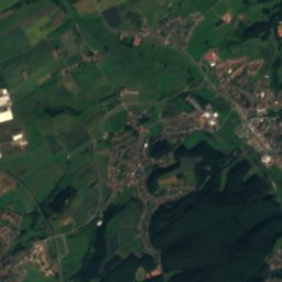
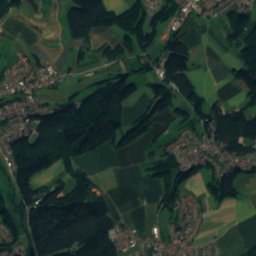
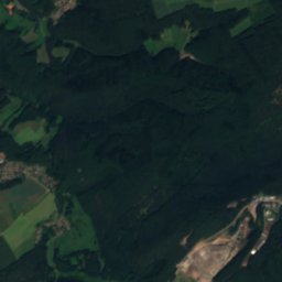
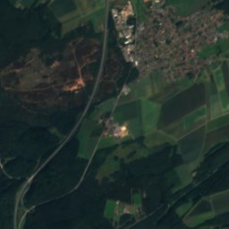
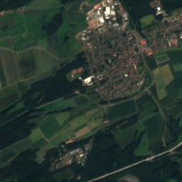
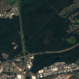
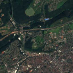
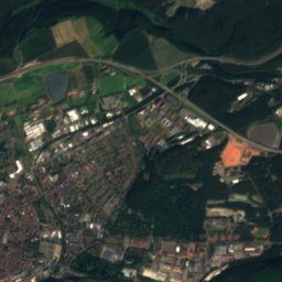
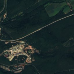
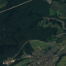
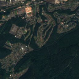
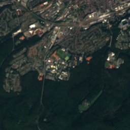
Satellite: Sentinel-2 cloudless 2016 by EOX IT Services GmbH · CC BY 4.0 · Contains modified Copernicus Sentinel data 2016
Lauter (Glan)
River


Mountains

Photo: The original uploader was Kolling at German Wikipedia. · CC BY-SA 2.0 · Wikimedia CommonsReport this photo · linked, not stored
Donnersberg
686 m · North Palatine Uplands


Heritage


Amtsgericht Wolfstein
cultural heritage monument in Rhineland-Palatinate · 1900


