Skip to content
Destinations
Weather & climate
Nature
Outdoors
Culture
Events
Sky & live
Fronfeste
Photo: Tilman2007 · CC BY-SA 3.0 · Wikimedia Commons
FronfesteReport this photo · linked, not stored
Hungerturm (Mindelheim)
Photo: Rufus46 · CC BY-SA 3.0 · Wikimedia Commons
Hungerturm (Mindelheim)Report this photo · linked, not stored
Hungerturm (Mindelheim)
Oberes Tor (Mindelheim)
Photo: Rufus46 · CC BY-SA 3.0 · Wikimedia Commons
Oberes Tor (Mindelheim)Report this photo · linked, not stored
Oberes Tor (Mindelheim)
Heilig-Geist-Spital (Mindelheim)
Photo: Rufus46 · CC BY-SA 3.0 · Wikimedia Commons
Heilig-Geist-Spital (Mindelheim)Report this photo · linked, not stored
Heilig-Geist-Spital (Mindelheim)
St. Stephan (Mindelheim)
Photo: Richard Mayer · CC BY 3.0 · Wikimedia Commons
St. Stephan (Mindelheim)Report this photo · linked, not stored
St. Stephan (Mindelheim)
built structureMindelheim, Bavaria

Fronfeste

architectural heritage monument in Bavaria
Typebuilt structure
Built–
Best monthsJul–Sepweather in Mindelheim
48.05° N, 10.49° EUTC+2 · Central European Summer Time
When to goMindelheim · weather score
JanFebMarAprMayJunJulAugSepOctNovDec45October
Best timeJul–Sep
October: high / low13° / 5°
iAbout

Fronfeste in brief

Fronfeste is a built structure in Mindelheim, Bavaria, Germany.

It holds the designation architectural heritage monument in Bavaria.

For a visit, the weather in Mindelheim is best in July, August and September; in October afternoons average 13°.

Mindelheim: weather and travel guide

Facts

Type
built structure
Designation
architectural heritage monument in Bavaria
Nearest town
Mindelheim
Region
Bavaria
Coordinates
48.04652, 10.49072
iiLocation

Where to find it

iiiWhen to visit

Weather in Mindelheim

Climate guide

Month score for sightseeing

Best Jul–Sep
ivNearby

More heritage close by

All monuments in Germany
Hungerturm (Mindelheim)
Photo: Rufus46 · CC BY-SA 3.0 · Wikimedia CommonsReport this photo · linked, not stored

Hungerturm (Mindelheim)

under 100 m S
architectural heritage monument in Bavaria
Hungerturm (Mindelheim)
Oberes Tor (Mindelheim)
Photo: Rufus46 · CC BY-SA 3.0 · Wikimedia CommonsReport this photo · linked, not stored

Oberes Tor (Mindelheim)

under 100 m N
architectural heritage monument in Bavaria
Oberes Tor (Mindelheim)
Heilig-Geist-Spital (Mindelheim)
Photo: Rufus46 · CC BY-SA 3.0 · Wikimedia CommonsReport this photo · linked, not stored

Heilig-Geist-Spital (Mindelheim)

0.1 km W
architectural heritage monument in Bavaria
Heilig-Geist-Spital (Mindelheim)
St. Stephan (Mindelheim)
Photo: Richard Mayer · CC BY 3.0 · Wikimedia CommonsReport this photo · linked, not stored

St. Stephan (Mindelheim)

0.1 km NW
architectural heritage monument in Bavaria
St. Stephan (Mindelheim)
Pfleghaus (Mindelheim)
Photo: Rufus46 · CC BY-SA 3.0 · Wikimedia CommonsReport this photo · linked, not stored

Pfleghaus (Mindelheim)

0.3 km W
architectural heritage monument in Bavaria
Pfleghaus (Mindelheim)
Turmuhrenmuseum (Mindelheim)
Photo: GFreihalter · CC BY-SA 3.0 · Wikimedia CommonsReport this photo · linked, not stored

Turmuhrenmuseum (Mindelheim)

0.3 km W
architectural heritage monument in Bavaria
Turmuhrenmuseum (Mindelheim)
Around here

Mindelheim and around

Mindelheim
Photo: Diego Delso · CC BY-SA 4.0 · Wikimedia CommonsReport this photo · linked, not stored

Mindelheim

Bavaria · Germany
Jul–Sepbest months
24°July high
604 maltitude
Mindelheim

Nature

Zusam
Photo: Jkü · CC BY-SA 3.0 · Wikimedia CommonsReport this photo · linked, not stored
11 km NE

Zusam

River
Zusam
Wörthbach
Photo: Ordercrazy · CC0 · Wikimedia CommonsReport this photo · linked, not stored
7.9 km NE

Wörthbach

River
Wörthbach
Eßmühler Bach
Photo: Kaber · CC BY-SA 3.0 · Wikimedia CommonsReport this photo · linked, not stored
8.3 km S

Eßmühler Bach

River
Eßmühler Bach

Mountains

Auerberg
Photo: Flodur63 · CC BY-SA 4.0 · Wikimedia CommonsReport this photo · linked, not stored
39 km SE

Auerberg

1,055 m
Auerberg
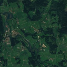
Satellite: Sentinel-2 cloudless 2016 by EOX IT Services GmbH · CC BY 4.0 · Contains modified Copernicus Sentinel data 2016
29 km S

P.914

914 m · Bavarian Alpine Foreland
P.914
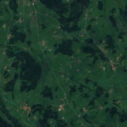
Satellite: Sentinel-2 cloudless 2016 by EOX IT Services GmbH · CC BY 4.0 · Contains modified Copernicus Sentinel data 2016
37 km SW

P.880

880 m · Bavarian Alpine Foreland
P.880

Heritage

Johanneskirche, Mindelheim
Photo: Renardo la vulpo · CC0 · Wikimedia CommonsReport this photo · linked, not stored
0.3 km E

Johanneskirche, Mindelheim

architectural heritage monument in Bavaria · 1898
Johanneskirche, Mindelheim
Mariä Verkündigung (Mindelheim)
Photo: Diego Delso · CC BY-SA 4.0 · Wikimedia CommonsReport this photo · linked, not stored
0.5 km W

Mariä Verkündigung (Mindelheim)

architectural heritage monument in Bavaria
Mariä Verkündigung (Mindelheim)
Kloster Herz Jesu (Mindelheim)
Photo: Rufus46 · CC BY-SA 3.0 · Wikimedia CommonsReport this photo · linked, not stored
0.4 km W

Kloster Herz Jesu (Mindelheim)

architectural heritage monument in Bavaria · 1701
Kloster Herz Jesu (Mindelheim)

Museums

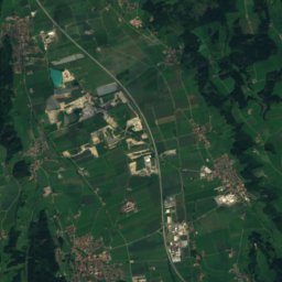
Satellite: Sentinel-2 cloudless 2016 by EOX IT Services GmbH · CC BY 4.0 · Contains modified Copernicus Sentinel data 2016
0.4 km W

Schwäbisches Turmuhrenmuseum

1979
Schwäbisches Turmuhrenmuseum
Textilmuseum Mindelheim
Photo: Angela Huster · CC0 · Wikimedia CommonsReport this photo · linked, not stored
0.5 km W

Textilmuseum Mindelheim

Textile museum
Textilmuseum Mindelheim
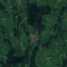
Satellite: Sentinel-2 cloudless 2016 by EOX IT Services GmbH · CC BY 4.0 · Contains modified Copernicus Sentinel data 2016
0.5 km W

Schwäbisches Krippenmuseum

Schwäbisches Krippenmuseum