
Photo: Claudia Sadewasser · CC BY-SA 3.0 · Wikimedia Commons
Forst-TowerReport this photo · linked, not stored
Forst-TowerReport this photo · linked, not stored

Photo: Streifengrasmaus · CC BY-SA 2.5 · Wikimedia Commons
Bismarck Tower, LichtenhainReport this photo · linked, not stored
Bismarck Tower, LichtenhainBismarck Tower, LichtenhainReport this photo · linked, not stored

Photo: indeedous/Wikimedia Commons · Attribution · Wikimedia Commons
St. Nicholas church, LichtenhainReport this photo · linked, not stored
St. Nicholas church, LichtenhainSt. Nicholas church, LichtenhainReport this photo · linked, not stored

Photo: © R.Möhler · CC BY-SA 3.0 · Wikimedia Commons
Zeiss Bau 23Report this photo · linked, not stored
Zeiss Bau 23Zeiss Bau 23Report this photo · linked, not stored

Photo: Daniel Mietchen · CC0 · Wikimedia Commons
Jena West railway stationReport this photo · linked, not stored
Jena West railway stationJena West railway stationReport this photo · linked, not stored
observation towerLichtenhain, Thuringia
Forst-Tower
Kulturdenkmal
Typeobservation tower
Built–
Best monthsJun · Aug–Sepweather in Lichtenhain
50.92° N, 11.55° EUTC+1 · Central European Standard Time
When to goLichtenhain · weather score
Best timeJun · Aug–Sep
October: high / low14° / 6°
iAbout
Forst-Tower in brief
Forst-Tower is an observation tower in Lichtenhain, Thuringia, Germany. War memorial and observation tower near Jena.
It holds the designation Kulturdenkmal.
For a visit, the weather in Lichtenhain is best in June, August and September; in October afternoons average 14°.
Facts
- Type
- observation tower
- Designation
- Kulturdenkmal
- Nearest town
- Lichtenhain
- Region
- Thuringia
- Coordinates
- 50.92273, 11.55488
iiLocation
Where to find it
iiiWhen to visit
Climate guideWeather in Lichtenhain
Month score for sightseeing
Best Jun · Aug–Sep19
Jan
27
Feb
25
Mar
62
Apr
66
May
67
Jun
64
Jul
69
Aug
74
Sep
51
Oct
24
Nov
17
Dec
ivNearby
All monuments in GermanyMore heritage close by
Photo: indeedous/Wikimedia Commons · Attribution · Wikimedia CommonsReport this photo · linked, not stored
St. Nicholas church, Lichtenhain
1.2 km SE
Heritage monument in Thuringia


Photo: indeedous/Wikimedia Commons · Attribution · Wikimedia CommonsReport this photo · linked, not stored
Max Planck Institute of Geoanthropology
1.7 km E
Kulturdenkmal
Around here
Lichtenhain and around
Photo: indeedous/Wikimedia Commons · Attribution · Wikimedia CommonsReport this photo · linked, not stored
Lichtenhain
Thuringia · Germany
Jun · Aug–Sepbest months
25°July high
181 maltitude
Nature


Mountains
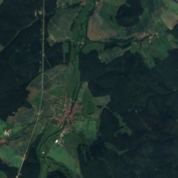
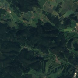
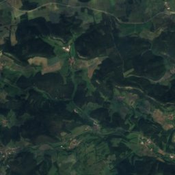
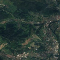
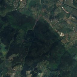
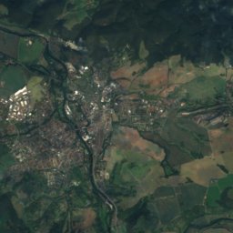
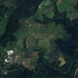
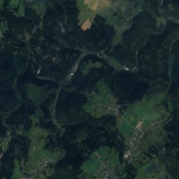
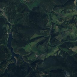
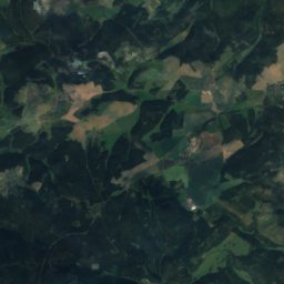
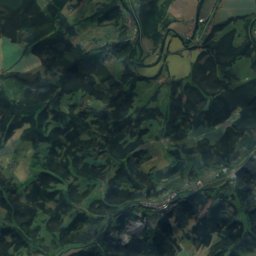
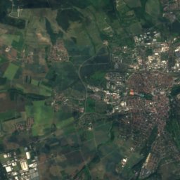
Satellite: Sentinel-2 cloudless 2016 by EOX IT Services GmbH · CC BY 4.0 · Contains modified Copernicus Sentinel data 2016
Zipptannskuppe
657 m · Thuringian Highland
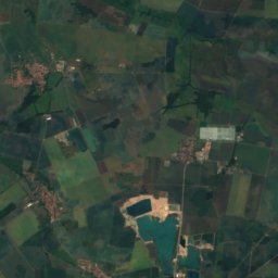
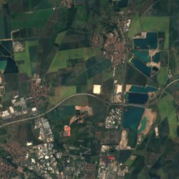
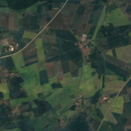
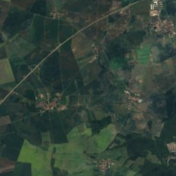
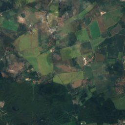
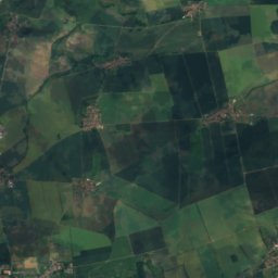
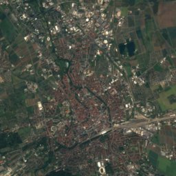
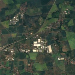
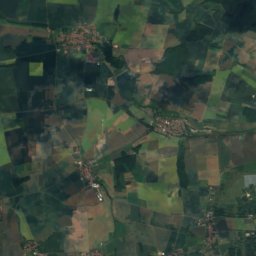
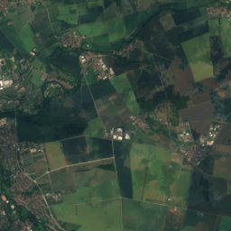
Satellite: Sentinel-2 cloudless 2016 by EOX IT Services GmbH · CC BY 4.0 · Contains modified Copernicus Sentinel data 2016
Großer Ettersberg
482 m · Ettersberg

Heritage


Museums

Photo: The original uploader was Klingon at German Wikipedia. · CC BY-SA 3.0 · Wikimedia CommonsReport this photo · linked, not stored
Optical Museum Jena
1988





Satellite: Sentinel-2 cloudless 2016 by EOX IT Services GmbH · CC BY 4.0 · Contains modified Copernicus Sentinel data 2016
Phyletic Museum
Natural history museum · 1907


