
Photo: Daniel Schwen · CC BY-SA 2.5 · Wikimedia Commons
ExternsteineReport this photo · linked, not stored
ExternsteineReport this photo · linked, not stored

Photo: Tsungam · CC0 · Wikimedia Commons
Jüdischer Friedhof, Horn-Bad MeinbergReport this photo · linked, not stored
Jüdischer Friedhof, Horn-Bad MeinbergJüdischer Friedhof, Horn-Bad MeinbergReport this photo · linked, not stored

Photo: Tsungam · CC BY-SA 4.0 · Wikimedia Commons
Pfeifenkump (Horn)Report this photo · linked, not stored
Pfeifenkump (Horn)Pfeifenkump (Horn)Report this photo · linked, not stored

Photo: Daniel Brockpähler · CC BY-SA 3.0 · Wikimedia Commons
Evangelische Kirche HornReport this photo · linked, not stored
Evangelische Kirche HornEvangelische Kirche HornReport this photo · linked, not stored
 Burg Horn
archaeological siteHorn-Bad Meinberg, North Rhine-Westphalia
Externsteine
architectural heritage monument in North Rhine-Westphalia
Typearchaeological site
Built–
Best monthsMay–Jun · Sepweather in Horn-Bad Meinberg
51.87° N, 8.92° EUTC+2 · Central European Summer Time
When to goHorn-Bad Meinberg · weather score
Best timeMay–Jun · Sep
October: high / low13° / 6°
iAbout
Externsteine in brief
Externsteine is an archaeological site in Horn-Bad Meinberg, North Rhine-Westphalia, Germany.
It holds the designation architectural heritage monument in North Rhine-Westphalia.
For a visit, the weather in Horn-Bad Meinberg is best in May, June and September; in October afternoons average 13°.
Facts
- Type
- archaeological site
- Designation
- architectural heritage monument in North Rhine-Westphalia
- Nearest town
- Horn-Bad Meinberg
- Region
- North Rhine-Westphalia
- Coordinates
- 51.86889, 8.91750
iiLocation
Where to find it
ivNearby
All monuments in GermanyMore heritage close by
Jüdischer Friedhof, Horn-Bad Meinberg
1.2 km E
architectural heritage monument in North Rhine-Westphalia
Pfeifenkump (Horn)
1.7 km E
architectural heritage monument in North Rhine-Westphalia
Evangelische Kirche Horn
1.8 km E
architectural heritage monument in North Rhine-Westphalia

Kotzenbergscher Hof
1.9 km E
architectural heritage monument in North Rhine-Westphalia

Eulenturm (Horn-Bad Meinberg)
2.0 km E
architectural heritage monument in North Rhine-Westphalia
Around here
Horn-Bad Meinberg and around

Horn-Bad Meinberg
North Rhine-Westphalia · Germany
May–Jun · Sepbest months
23°July high
215 maltitude
Nature


Photo: de:Benutzer:Tola69 · CC BY-SA 3.0 de · Wikimedia CommonsReport this photo · linked, not stored
Berlebecke
River

Mountains

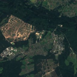
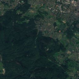
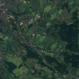
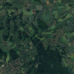
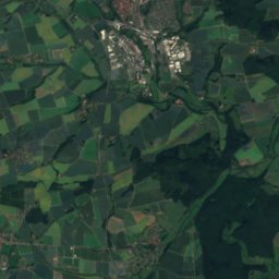
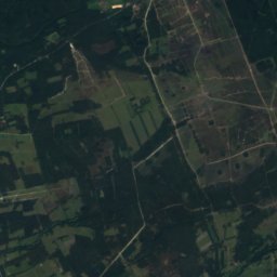
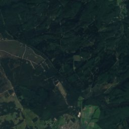
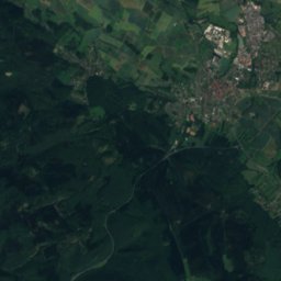
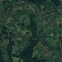
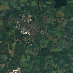
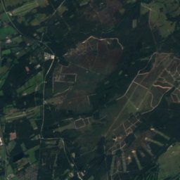
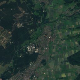
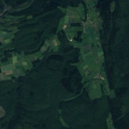
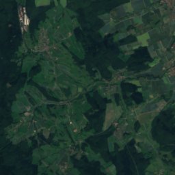
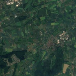
Satellite: Sentinel-2 cloudless 2016 by EOX IT Services GmbH · CC BY 4.0 · Contains modified Copernicus Sentinel data 2016
Preußische Velmerstot
468 m

Heritage
Kotzenbergscher Hof
architectural heritage monument in North Rhine-Westphalia · 1616

Evangelische Kirche Bad Meinberg
architectural heritage monument in North Rhine-Westphalia
Museums
Satellite: Sentinel-2 cloudless 2016 by EOX IT Services GmbH · CC BY 4.0 · Contains modified Copernicus Sentinel data 2016


