
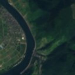
Satellite: Sentinel-2 cloudless 2016 by EOX IT Services GmbH · CC BY 4.0 · Contains modified Copernicus Sentinel data 2016

Photo: Torsade de Pointes · CC0 · Wikimedia Commons
Kapuzinerkloster CochemReport this photo · linked, not stored
Kapuzinerkloster CochemKapuzinerkloster CochemReport this photo · linked, not stored

Photo: Eifeljanes · CC BY-SA 4.0 · Wikimedia Commons
Neuer jüdischer Friedhof (Cochem)Report this photo · linked, not stored
Neuer jüdischer Friedhof (Cochem)Neuer jüdischer Friedhof (Cochem)Report this photo · linked, not stored

Photo: Holger Weinandt · CC BY-SA 3.0 · Wikimedia Commons
Reichsburg CochemReport this photo · linked, not stored
Reichsburg CochemReichsburg CochemReport this photo · linked, not stored

Photo: Historiograf at German Wikipedia · CC BY 2.0 · Wikimedia Commons
Cochem railway stationReport this photo · linked, not stored
Cochem railway stationCochem railway stationReport this photo · linked, not stored
city gateCochem, Rheinland-Pfalz
Enderttor
Kulturdenkmal
Typecity gate
Built–
Best monthsJun · Aug–Sepweather in Cochem
50.15° N, 7.17° EUTC+2 · Central European Summer Time
When to goCochem · weather score
Best timeJun · Aug–Sep
October: high / low14° / 7°
iAbout
Enderttor in brief
Enderttor is a city gate in Cochem, Rheinland-Pfalz, Germany.
It holds the designation Kulturdenkmal.
For a visit, the weather in Cochem is best in June, August and September; in October afternoons average 14°.
Facts
- Type
- city gate
- Designation
- Kulturdenkmal
- Nearest town
- Cochem
- Region
- Rheinland-Pfalz
- Coordinates
- 50.14710, 7.16517
iiLocation
Where to find it
iiiWhen to visit
Climate guideWeather in Cochem
Month score for sightseeing
Best Jun · Aug–Sep14
Jan
21
Feb
27
Mar
60
Apr
65
May
66
Jun
64
Jul
67
Aug
73
Sep
44
Oct
16
Nov
13
Dec
ivNearby
All monuments in GermanyMore heritage close by
Satellite: Sentinel-2 cloudless 2016 by EOX IT Services GmbH · CC BY 4.0 · Contains modified Copernicus Sentinel data 2016
Martin city gate
0.5 km SE
Kulturdenkmal
Photo: Historiograf at German Wikipedia · CC BY 2.0 · Wikimedia CommonsReport this photo · linked, not stored
Cochem railway station
0.7 km N
cultural heritage monument in Rhineland-Palatinate

Around here
Cochem and around

Nature


Photo: Commander-pirx at German Wikipedia · CC BY-SA 4.0 · Wikimedia CommonsReport this photo · linked, not stored
Üßbach
River

Mountains
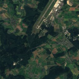
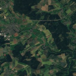
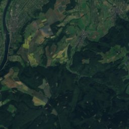
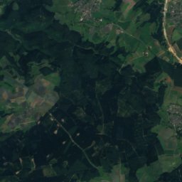
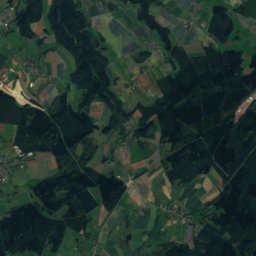
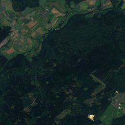
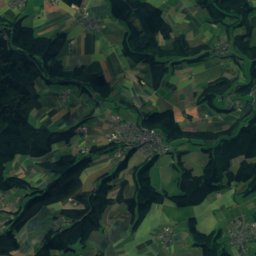
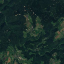
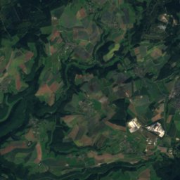
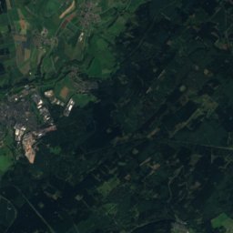
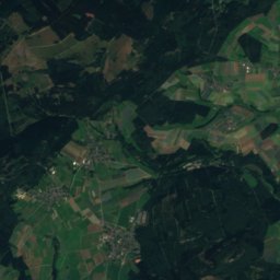
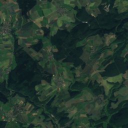
Satellite: Sentinel-2 cloudless 2016 by EOX IT Services GmbH · CC BY 4.0 · Contains modified Copernicus Sentinel data 2016
An den zwei Steinen
766 m · Idar Forest
Satellite: Sentinel-2 cloudless 2016 by EOX IT Services GmbH · CC BY 4.0 · Contains modified Copernicus Sentinel data 2016
Steingerüttelkopf
757 m · Idar Forest

Heritage

Photo: BBKurt 06:41, 10 October 2007 (UTC) · CC BY-SA 3.0 · Wikimedia CommonsReport this photo · linked, not stored
Kloster Ebernach
Kulturdenkmal · 1130
Photo: Historiograf at German Wikipedia · CC BY 2.0 · Wikimedia CommonsReport this photo · linked, not stored
Cochem railway station
cultural heritage monument in Rhineland-Palatinate
Museums
Satellite: Sentinel-2 cloudless 2016 by EOX IT Services GmbH · CC BY 4.0 · Contains modified Copernicus Sentinel data 2016
Museum Galerie Steib



Satellite: Sentinel-2 cloudless 2016 by EOX IT Services GmbH · CC BY 4.0 · Contains modified Copernicus Sentinel data 2016
Weingalerie WAJOS
Satellite: Sentinel-2 cloudless 2016 by EOX IT Services GmbH · CC BY 4.0 · Contains modified Copernicus Sentinel data 2016