Skip to content
Destinations
Weather & climate
Nature
Outdoors
Culture
Events
Sky & live
Einersheimer Tor
Photo: Berthold Werner · Public domain · Wikimedia Commons
Einersheimer TorReport this photo · linked, not stored
Lange Gasse 36
Photo: Tilman2007 · CC BY-SA 3.0 · Wikimedia Commons
Lange Gasse 36Report this photo · linked, not stored
Lange Gasse 36
Doppeltes Giebelhaus
Photo: Tilman2007 · CC BY-SA 3.0 · Wikimedia Commons
Doppeltes GiebelhausReport this photo · linked, not stored
Doppeltes Giebelhaus
Lange Gasse 7 (Iphofen)
Photo: Tilman2007 · CC BY-SA 3.0 · Wikimedia Commons
Lange Gasse 7 (Iphofen)Report this photo · linked, not stored
Lange Gasse 7 (Iphofen)
Marktplatz 22
Photo: Tilman2007 · CC BY-SA 3.0 · Wikimedia Commons
Marktplatz 22Report this photo · linked, not stored
Marktplatz 22
towerIphofen, Bavaria

Einersheimer Tor

architectural heritage monument in Bavaria
Typetower
Built–
Best monthsJun · Aug–Sepweather in Iphofen
49.70° N, 10.26° EUTC+2 · Central European Summer Time
When to goIphofen · weather score
JanFebMarAprMayJunJulAugSepOctNovDec48October
Best timeJun · Aug–Sep
October: high / low14° / 6°
iAbout

Einersheimer Tor in brief

Einersheimer Tor is a tower in Iphofen, Bavaria, Germany.

It holds the designation architectural heritage monument in Bavaria.

For a visit, the weather in Iphofen is best in June, August and September; in October afternoons average 14°.

Iphofen: weather and travel guide

Facts

Type
tower
Designation
architectural heritage monument in Bavaria
Nearest town
Iphofen
Region
Bavaria
Coordinates
49.70340, 10.26340
iiLocation

Where to find it

iiiWhen to visit

Weather in Iphofen

Climate guide

Month score for sightseeing

Best Jun · Aug–Sep
16
Jan
25
Feb
28
Mar
62
Apr
66
May
68
Jun
65
Jul
68
Aug
73
Sep
48
Oct
21
Nov
14
Dec
ivNearby

More heritage close by

All monuments in Germany
Lange Gasse 36
Photo: Tilman2007 · CC BY-SA 3.0 · Wikimedia CommonsReport this photo · linked, not stored

Lange Gasse 36

under 100 m SW
architectural heritage monument in Bavaria
Lange Gasse 36
Doppeltes Giebelhaus
Photo: Tilman2007 · CC BY-SA 3.0 · Wikimedia CommonsReport this photo · linked, not stored

Doppeltes Giebelhaus

0.1 km W
architectural heritage monument in Bavaria
Doppeltes Giebelhaus
Lange Gasse 7 (Iphofen)
Photo: Tilman2007 · CC BY-SA 3.0 · Wikimedia CommonsReport this photo · linked, not stored

Lange Gasse 7 (Iphofen)

0.1 km NW
architectural heritage monument in Bavaria
Lange Gasse 7 (Iphofen)
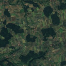
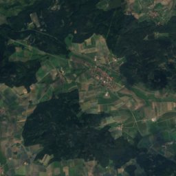
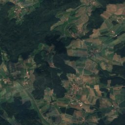
Satellite: Sentinel-2 cloudless 2016 by EOX IT Services GmbH · CC BY 4.0 · Contains modified Copernicus Sentinel data 2016

Altstadt, Iphofen

0.2 km W
heritage monument ensemble in Bavaria
Altstadt, Iphofen
Marktplatz 22
Photo: Tilman2007 · CC BY-SA 3.0 · Wikimedia CommonsReport this photo · linked, not stored

Marktplatz 22

0.2 km NW
architectural heritage monument in Bavaria
Marktplatz 22
Pesttor
Photo: Tilman2007 · CC BY-SA 3.0 · Wikimedia CommonsReport this photo · linked, not stored

Pesttor

0.3 km SW
architectural heritage monument in Bavaria
Pesttor
Around here

Iphofen and around

Iphofen
Photo: Stefan Oemisch · CC BY-SA 4.0 · Wikimedia CommonsReport this photo · linked, not stored

Iphofen

Bavaria · Germany
Jun · Aug–Sepbest months
25°July high
256 maltitude
Iphofen

Nature

Breitbach
Photo: Bjs · CC BY-SA 3.0 · Wikimedia CommonsReport this photo · linked, not stored
7.8 km S

Breitbach

River
Breitbach
Wehrbach, Bavaria
Photo: Tilman2007 · CC BY-SA 3.0 · Wikimedia CommonsReport this photo · linked, not stored
0.6 km W

Wehrbach, Bavaria

River
Wehrbach, Bavaria
Castellbach
Photo: Nico1995fcb · CC BY-SA 4.0 · Wikimedia CommonsReport this photo · linked, not stored
12 km N

Castellbach

River · 200 m
Castellbach

Mountains

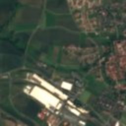
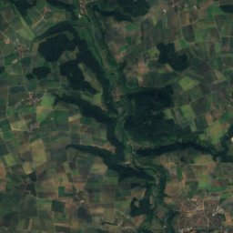
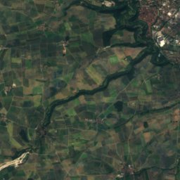
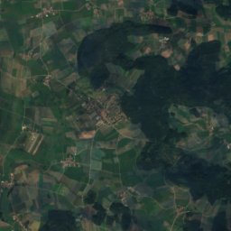
Satellite: Sentinel-2 cloudless 2016 by EOX IT Services GmbH · CC BY 4.0 · Contains modified Copernicus Sentinel data 2016
35 km S

Landsknecht

526 m · Franconian Heights
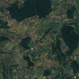
Landsknecht
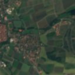
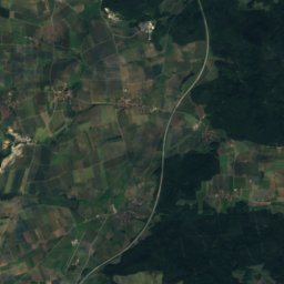
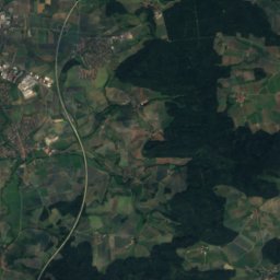
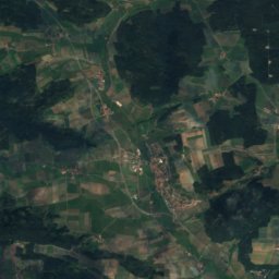
Satellite: Sentinel-2 cloudless 2016 by EOX IT Services GmbH · CC BY 4.0 · Contains modified Copernicus Sentinel data 2016
36 km S

Lug ins Land

518 m · Franconian Heights
Lug ins Land
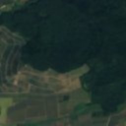
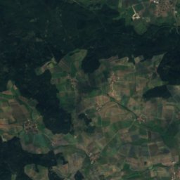
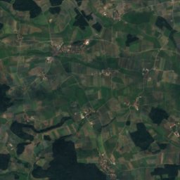
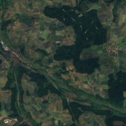
Satellite: Sentinel-2 cloudless 2016 by EOX IT Services GmbH · CC BY 4.0 · Contains modified Copernicus Sentinel data 2016
38 km S

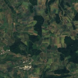
Eichelberg, Colmberg

514 m · Franconian Heights
Eichelberg, Colmberg

Heritage

St. John the Baptist (Iphofen)
Photo: Monandowitsch · CC BY-SA 3.0 · Wikimedia CommonsReport this photo · linked, not stored
0.2 km NW

St. John the Baptist (Iphofen)

architectural heritage monument in Bavaria
St. John the Baptist (Iphofen)
St. Michael, Iphofen
Photo: Monandowitsch · CC BY-SA 3.0 · Wikimedia CommonsReport this photo · linked, not stored
0.3 km N

St. Michael, Iphofen

architectural heritage monument in Bavaria
St. Michael, Iphofen
St. Vitus, Iphofen
Photo: Berthold Werner · Public domain · Wikimedia CommonsReport this photo · linked, not stored
0.3 km N

St. Vitus, Iphofen

architectural heritage monument in Bavaria
St. Vitus, Iphofen

Museums

Knauf-Museum Iphofen
Photo: Stefan Oemisch · CC BY-SA 4.0 · Wikimedia CommonsReport this photo · linked, not stored
0.2 km N

Knauf-Museum Iphofen

Knauf-Museum Iphofen
Elfleins-Häusla
Photo: Reinhardhauke · CC BY-SA 3.0 · Wikimedia CommonsReport this photo · linked, not stored
3.1 km N

Elfleins-Häusla

Local museum
Elfleins-Häusla
Kirchenburgmuseum Mönchsondheim
Photo: Tilman2007 · CC BY-SA 3.0 · Wikimedia CommonsReport this photo · linked, not stored
4.1 km S

Kirchenburgmuseum Mönchsondheim

Open-air museum · 1981
Kirchenburgmuseum Mönchsondheim