

Photo: Jonas Rogowski · CC BY-SA 3.0 · Wikimedia Commons
Dorfkirche Lichtenhagen, Elmenhorst/LichtenhagenReport this photo · linked, not stored
Dorfkirche Lichtenhagen, Elmenhorst/LichtenhagenDorfkirche Lichtenhagen, Elmenhorst/LichtenhagenReport this photo · linked, not stored

Photo: Schiwago · CC BY 3.0 · Wikimedia Commons
Edvard-Munch-HausReport this photo · linked, not stored
Edvard-Munch-HausEdvard-Munch-HausReport this photo · linked, not stored

Photo: Schiwago · CC BY-SA 3.0 · Wikimedia Commons
Postamt WarnemündeReport this photo · linked, not stored
Postamt WarnemündePostamt WarnemündeReport this photo · linked, not stored

Photo: Norbert Kaiser · CC BY-SA 3.0 · Wikimedia Commons
Warnemünder VogteiReport this photo · linked, not stored
Warnemünder VogteiWarnemünder VogteiReport this photo · linked, not stored
preserved watercraftElmenhorst/Lichtenhagen, Mecklenburg-Vorpommern
Dresden
architectural heritage monument in Mecklenburg-Vorpommern
Typepreserved watercraft
Built–
Best monthsMay–Jun · Sepweather in Elmenhorst/Lichtenhagen
54.14° N, 12.09° EUTC+1 · Central European Standard Time
When to goElmenhorst/Lichtenhagen · weather score
Best timeMay–Jun · Sep
October: high / low13° / 7°
iAbout
Dresden in brief
Dresden is a preserved watercraft in Elmenhorst/Lichtenhagen, Mecklenburg-Vorpommern, Germany. 1957 cargo ship.
It holds the designation architectural heritage monument in Mecklenburg-Vorpommern.
For a visit, the weather in Elmenhorst/Lichtenhagen is best in May, June and September; in October afternoons average 13°.
Facts
- Type
- preserved watercraft
- Designation
- architectural heritage monument in Mecklenburg-Vorpommern
- Nearest town
- Elmenhorst/Lichtenhagen
- Region
- Mecklenburg-Vorpommern
- Coordinates
- 54.14185, 12.08667
iiLocation
Where to find it
iiiWhen to visit
Climate guideWeather in Elmenhorst/Lichtenhagen
Month score for sightseeing
Best May–Jun · Sep15
Jan
21
Feb
28
Mar
48
Apr
68
May
72
Jun
65
Jul
65
Aug
69
Sep
36
Oct
16
Nov
14
Dec
ivNearby
All monuments in GermanyMore heritage close by
Dorfkirche Lichtenhagen, Elmenhorst/Lichtenhagen
3.6 km W
architectural heritage monument in Mecklenburg-Vorpommern
Postamt Warnemünde
3.9 km N
architectural heritage monument in Mecklenburg-Vorpommern
Warnemünder Vogtei
3.9 km N
architectural heritage monument in Mecklenburg-Vorpommern


Bahnhofsbrücke Warnemünde
3.9 km N
architectural heritage monument in Mecklenburg-Vorpommern
Around here
Elmenhorst/Lichtenhagen and around

Elmenhorst/Lichtenhagen
Mecklenburg-Vorpommern · Germany
May–Jun · Sepbest months
22°July high
13 maltitude
Nature








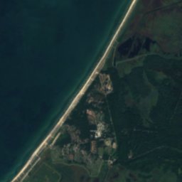
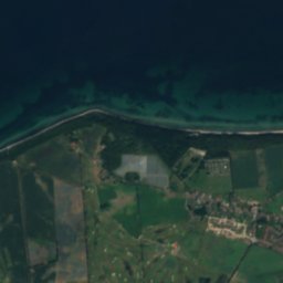
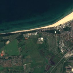
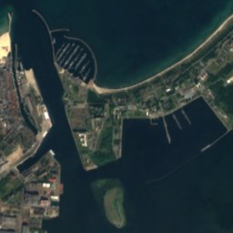
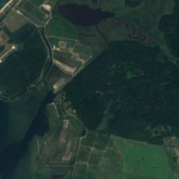
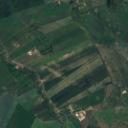
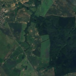
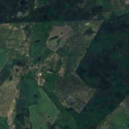
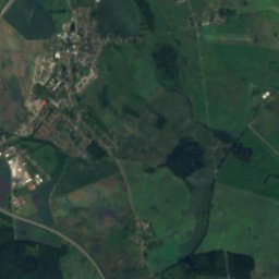
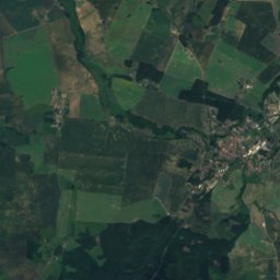
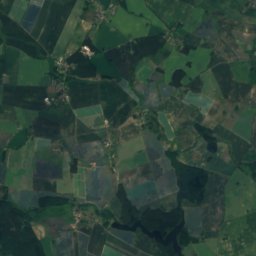
Satellite: Sentinel-2 cloudless 2016 by EOX IT Services GmbH · CC BY 4.0 · Contains modified Copernicus Sentinel data 2016
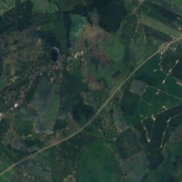
Warnow
River




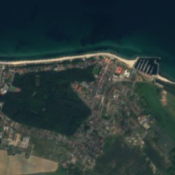
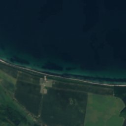
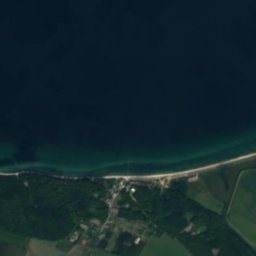
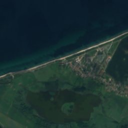
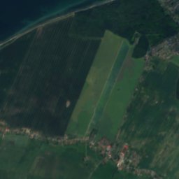
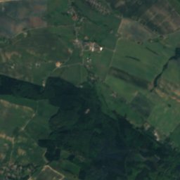
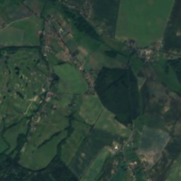
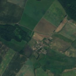
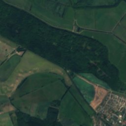
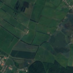
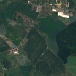
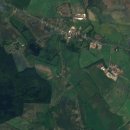
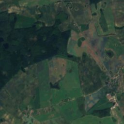
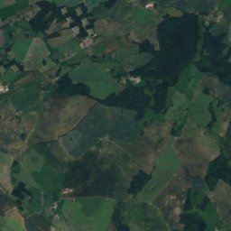
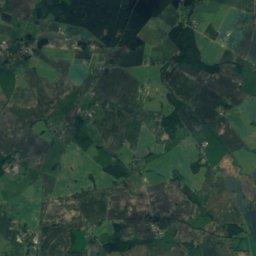
Satellite: Sentinel-2 cloudless 2016 by EOX IT Services GmbH · CC BY 4.0 · Contains modified Copernicus Sentinel data 2016
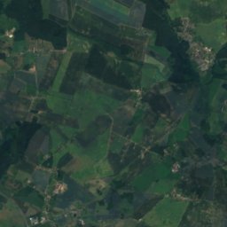
Conventer See
Lake · -0 m
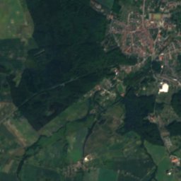
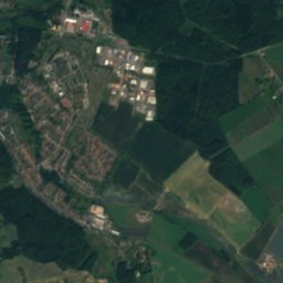
Mountains

Photo: Rosentod, Attribution must include the URL http://de.wikipedia.org/wiki/Benutzer · CC BY-SA 3.0 · Wikimedia CommonsReport this photo · linked, not stored
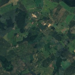
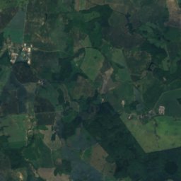
Hohe Burg
147 m





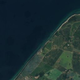
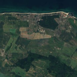
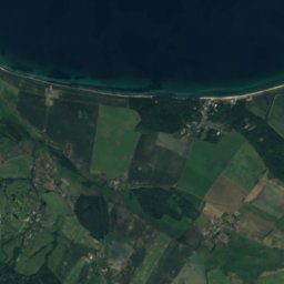
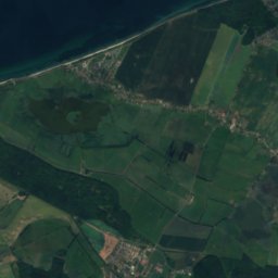
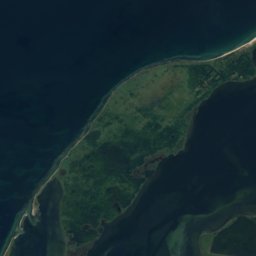
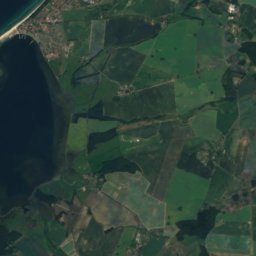
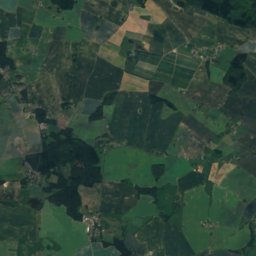
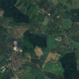
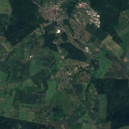
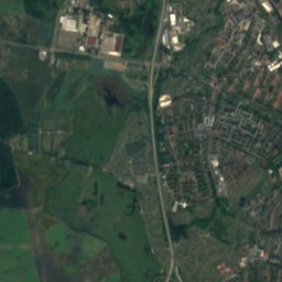
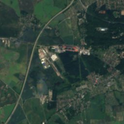
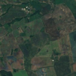
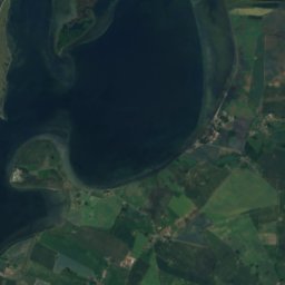
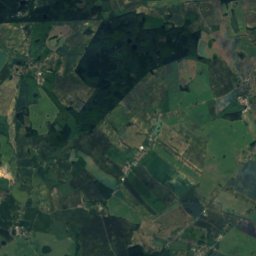
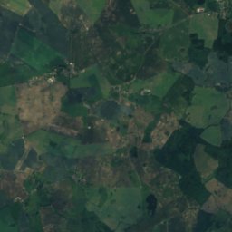
Satellite: Sentinel-2 cloudless 2016 by EOX IT Services GmbH · CC BY 4.0 · Contains modified Copernicus Sentinel data 2016
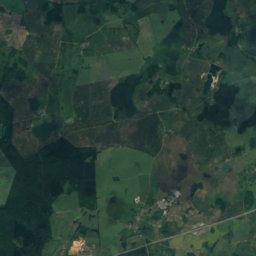
Diedrichshagener Berg
130 m
Heritage
Dorfkirche Lichtenhagen, Elmenhorst/Lichtenhagen
architectural heritage monument in Mecklenburg-Vorpommern

Bad Doberan Minster
architectural heritage monument in Mecklenburg-Vorpommern · 1368

St. Mary's Church, Rostock
architectural heritage monument in Mecklenburg-Vorpommern · 1265
Museums



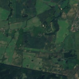
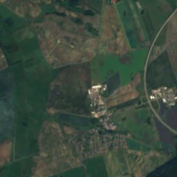
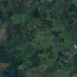
Satellite: Sentinel-2 cloudless 2016 by EOX IT Services GmbH · CC BY 4.0 · Contains modified Copernicus Sentinel data 2016
Zoological Collection Rostock

