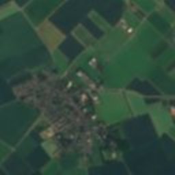

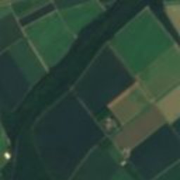
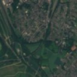
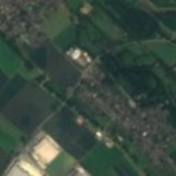
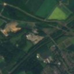
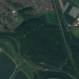

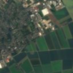
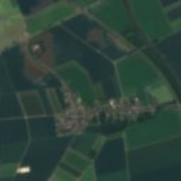
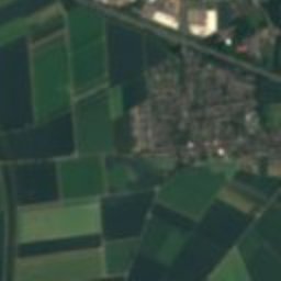
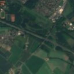

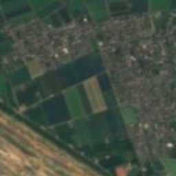
Satellite: Sentinel-2 cloudless 2016 by EOX IT Services GmbH · CC BY 4.0 · Contains modified Copernicus Sentinel data 2016

Photo: Unknown author · CC BY-SA 4.0 · Wikimedia Commons
Over-HausReport this photo · linked, not stored
Over-HausOver-HausReport this photo · linked, not stored

Photo: Tohma (talk) · CC BY-SA 4.0 · Wikimedia Commons
Bartholomäus-Ehlen-HausReport this photo · linked, not stored
Bartholomäus-Ehlen-HausBartholomäus-Ehlen-HausReport this photo · linked, not stored

Photo: Tohma (talk) · CC BY-SA 4.0 · Wikimedia Commons
Hauptstraße 106Report this photo · linked, not stored
Hauptstraße 106Hauptstraße 106Report this photo · linked, not stored

Photo: Tohma (talk) · CC BY-SA 4.0 · Wikimedia Commons
Aachener TorReport this photo · linked, not stored
Aachener TorAachener TorReport this photo · linked, not stored
buildingBergheim, North Rhine-Westphalia
Die Arche
architectural heritage monument in North Rhine-Westphalia
Typebuilding
Built–
Best monthsMay–Jun · Sepweather in Bergheim
50.95° N, 6.64° EUTC+2 · Central European Summer Time
When to goBergheim · weather score
Best timeMay–Jun · Sep
October: high / low15° / 7°
iAbout
Die Arche in brief
Die Arche is a building in Bergheim, North Rhine-Westphalia, Germany.
It holds the designation architectural heritage monument in North Rhine-Westphalia.
For a visit, the weather in Bergheim is best in May, June and September; in October afternoons average 15°.
Facts
- Type
- building
- Designation
- architectural heritage monument in North Rhine-Westphalia
- Nearest town
- Bergheim
- Region
- North Rhine-Westphalia
- Coordinates
- 50.95290, 6.63617
iiLocation
Where to find it
ivNearby
All monuments in GermanyMore heritage close by
Bartholomäus-Ehlen-Haus
under 100 m S
architectural heritage monument in North Rhine-Westphalia
Hauptstraße 106
under 100 m W
architectural heritage monument in North Rhine-Westphalia
Satellite: Sentinel-2 cloudless 2016 by EOX IT Services GmbH · CC BY 4.0 · Contains modified Copernicus Sentinel data 2016
Hauptstraße 71
under 100 m E
architectural heritage monument in North Rhine-Westphalia
Satellite: Sentinel-2 cloudless 2016 by EOX IT Services GmbH · CC BY 4.0 · Contains modified Copernicus Sentinel data 2016
Brauhaus In der Cronen
under 100 m NE
architectural heritage monument in North Rhine-Westphalia
Around here
Bergheim and around
Nature


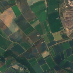
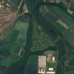
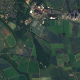
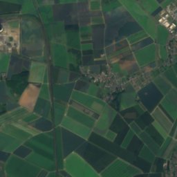
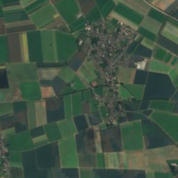
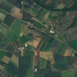
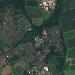
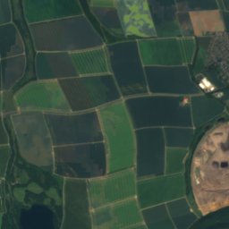
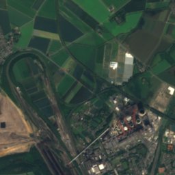
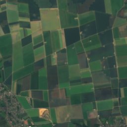
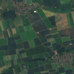
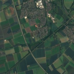
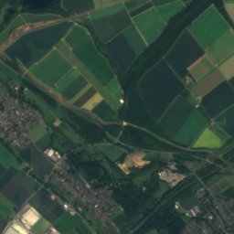
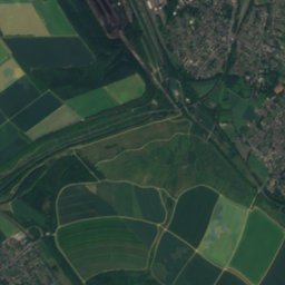
Satellite: Sentinel-2 cloudless 2016 by EOX IT Services GmbH · CC BY 4.0 · Contains modified Copernicus Sentinel data 2016
Peringsmaar
Lake · 55 m
Mountains

Photo: © Raimond Spekking & Elke Wetzig / CC BY-SA 4.0 (via Wikimedia Commons) · CC BY-SA 4.0 · Wikimedia CommonsReport this photo · linked, not stored
Sonnen-Berg
393 m · Rur Eifel


Photo: --BBKurt 12:43, 1 August 2007 (UTC) · CC BY-SA 3.0 · Wikimedia CommonsReport this photo · linked, not stored
Schlangenberg
276 m
Heritage

St. Remigius, Bergheim
architectural heritage monument in North Rhine-Westphalia

Schloss Paffendorf
architectural heritage monument in North Rhine-Westphalia

Photo: © Raimond Spekking / CC BY-SA 4.0 (via Wikimedia Commons) · CC BY-SA 4.0 · Wikimedia CommonsReport this photo · linked, not stored
Kriegerdenkmal, Bergheim
architectural heritage monument in North Rhine-Westphalia
Museums

Photo: © Achim Raschka / CC BY-SA 4.0 (via Wikimedia Commons) · CC BY-SA 4.0 · Wikimedia CommonsReport this photo · linked, not stored
Piano Museum Haus Eller
Musical instrument museum · 2007

Satellite: Sentinel-2 cloudless 2016 by EOX IT Services GmbH · CC BY 4.0 · Contains modified Copernicus Sentinel data 2016
Automobiles und technisches Museum Berendes
Automobile museum


Satellite: Sentinel-2 cloudless 2016 by EOX IT Services GmbH · CC BY 4.0 · Contains modified Copernicus Sentinel data 2016