
Photo: W. Bulach · CC BY-SA 4.0 · Wikimedia Commons
Devil's CaveReport this photo · linked, not stored
Devil's CaveReport this photo · linked, not stored

Photo: Ra'ike · CC BY-SA 3.0 · Wikimedia Commons
Schloss KühlenfelsReport this photo · linked, not stored
Schloss KühlenfelsSchloss KühlenfelsReport this photo · linked, not stored

Photo: Ra'ike · CC BY-SA 3.0 · Wikimedia Commons
Saalkirche, PottensteinReport this photo · linked, not stored
Saalkirche, PottensteinSaalkirche, PottensteinReport this photo · linked, not stored

Photo: Rainer Lippert, bearbeitet durch Alchemist-hp This image was created with Hugin. · CC0 · Wikimedia Commons
Pottenstein CastleReport this photo · linked, not stored
Pottenstein CastlePottenstein CastleReport this photo · linked, not stored

Photo: Reinhold Möller · CC BY-SA 4.0 · Wikimedia Commons
St. Johannes der Täufer, PottensteinReport this photo · linked, not stored
St. Johannes der Täufer, PottensteinSt. Johannes der Täufer, PottensteinReport this photo · linked, not stored
horizontal cavePottenstein, Bavaria
Devil's Cave
archaeological heritage monument in Bavaria
Typehorizontal cave
Built–
Best monthsJun · Aug–Sepweather in Pottenstein
49.75° N, 11.42° EUTC+2 · Central European Summer Time
When to goPottenstein · weather score
Best timeJun · Aug–Sep
October: high / low13° / 5°
iAbout
Devil's Cave in brief
Devil's Cave is a horizontal cave in Pottenstein, Bavaria, Germany.
It holds the designation archaeological heritage monument in Bavaria.
For a visit, the weather in Pottenstein is best in June, August and September; in October afternoons average 13°.
Facts
- Type
- horizontal cave
- Designation
- archaeological heritage monument in Bavaria
- Nearest town
- Pottenstein
- Region
- Bavaria
- Coordinates
- 49.75472, 11.42000
iiLocation
Where to find it
iiiWhen to visit
Climate guideWeather in Pottenstein
Month score for sightseeing
Best Jun · Aug–Sep15
Jan
24
Feb
23
Mar
53
Apr
63
May
66
Jun
65
Jul
68
Aug
72
Sep
42
Oct
21
Nov
14
Dec
ivNearby
All monuments in GermanyMore heritage close by

Photo: Rainer Lippert, bearbeitet durch Alchemist-hp This image was created with Hugin. · CC0 · Wikimedia CommonsReport this photo · linked, not stored
Pottenstein Castle
1.9 km NW
architectural heritage monument in Bavaria
St. Johannes der Täufer, Pottenstein
1.9 km SW
architectural heritage monument in Bavaria

Hallenkirche, Pottenstein
2.0 km NW
architectural heritage monument in Bavaria

Photo: --Xocolatl 16:04, 6 May 2008 (UTC) · Public domain · Wikimedia CommonsReport this photo · linked, not stored
St. Kunigund church
2.1 km N
architectural heritage monument in Bavaria
Around here
Pottenstein and around

Nature

Photo: © Freak-Line-Community / Wikimedia Commons · CC BY-SA 3.0 · Wikimedia CommonsReport this photo · linked, not stored
Ailsbach
River · 296 m


Photo: © Freak-Line-Community / Wikimedia Commons · CC BY-SA 3.0 · Wikimedia CommonsReport this photo · linked, not stored
Püttlach
River
Mountains
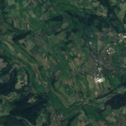
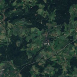
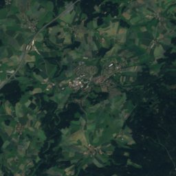
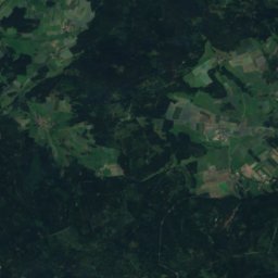
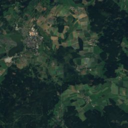
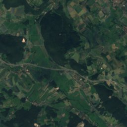
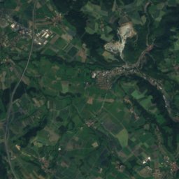
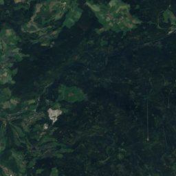
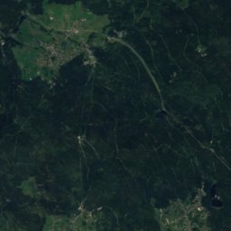
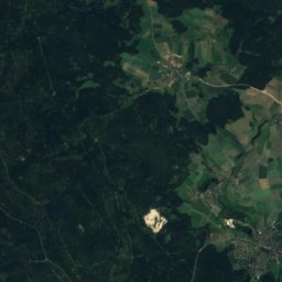
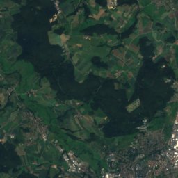
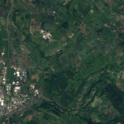
Satellite: Sentinel-2 cloudless 2016 by EOX IT Services GmbH · CC BY 4.0 · Contains modified Copernicus Sentinel data 2016
Hohberg
863 m · Fichtel Mountains


Heritage
Photo: Rainer Lippert, bearbeitet durch Alchemist-hp This image was created with Hugin. · CC0 · Wikimedia CommonsReport this photo · linked, not stored
Pottenstein Castle
architectural heritage monument in Bavaria · 1057
Photo: --Xocolatl 16:04, 6 May 2008 (UTC) · Public domain · Wikimedia CommonsReport this photo · linked, not stored
St. Kunigund church
architectural heritage monument in Bavaria
Hallenkirche, Pottenstein
architectural heritage monument in Bavaria
Museums




Satellite: Sentinel-2 cloudless 2016 by EOX IT Services GmbH · CC BY 4.0 · Contains modified Copernicus Sentinel data 2016
Heimatmuseum, Pottenstein



Satellite: Sentinel-2 cloudless 2016 by EOX IT Services GmbH · CC BY 4.0 · Contains modified Copernicus Sentinel data 2016
Deutsches Kameramuseum
Technology museum · 2011