
Photo: Photo by PtrQs · CC BY-SA 4.0 · Wikimedia Commons
Destedt castleReport this photo · linked, not stored
Destedt castleReport this photo · linked, not stored

Photo: Elmschrat · CC BY-SA 3.0 · Wikimedia Commons
St. Georg, VeltheimReport this photo · linked, not stored
St. Georg, VeltheimSt. Georg, VeltheimReport this photo · linked, not stored

Photo: Elmschrat · CC BY-SA 3.0 · Wikimedia Commons
Veltheim castleReport this photo · linked, not stored
Veltheim castleVeltheim castleReport this photo · linked, not stored

Photo: Elmschrat · CC BY-SA 3.0 · Wikimedia Commons
St. Remigius, VeltheimReport this photo · linked, not stored
St. Remigius, VeltheimSt. Remigius, VeltheimReport this photo · linked, not stored

Photo: TeWeBs · CC BY 3.0 · Wikimedia Commons
Christophoruskirche, Bornum am ElmReport this photo · linked, not stored
Christophoruskirche, Bornum am ElmChristophoruskirche, Bornum am ElmReport this photo · linked, not stored
water castleVeltheim, Lower Saxony
Destedt castle
architectural heritage monument in Lower Saxony
Typewater castle
Built–
Best monthsMay–Jun · Sepweather in Veltheim
52.24° N, 10.71° EUTC+2 · Central European Summer Time
When to goVeltheim · weather score
Best timeMay–Jun · Sep
October: high / low14° / 6°
iAbout
Destedt castle in brief
Destedt castle is a water castle in Veltheim, Lower Saxony, Germany.
It holds the designation architectural heritage monument in Lower Saxony.
For a visit, the weather in Veltheim is best in May, June and September; in October afternoons average 14°.
Facts
- Type
- water castle
- Designation
- architectural heritage monument in Lower Saxony
- Nearest town
- Veltheim
- Region
- Lower Saxony
- Coordinates
- 52.23965, 10.71039
iiLocation
Where to find it
iiiWhen to visit
Climate guideWeather in Veltheim
Month score for sightseeing
Best May–Jun · Sep14
Jan
22
Feb
23
Mar
57
Apr
68
May
67
Jun
64
Jul
66
Aug
72
Sep
47
Oct
18
Nov
13
Dec
ivNearby
All monuments in GermanyMore heritage close by
Christophoruskirche, Bornum am Elm
3.7 km NE
architectural heritage monument in Lower Saxony
Satellite: Sentinel-2 cloudless 2016 by EOX IT Services GmbH · CC BY 4.0 · Contains modified Copernicus Sentinel data 2016
Reitlingsbefestigungen
4.0 km SE
Kulturdenkmal

Photo: Foto: Axel Hindemith · CC BY-SA 3.0 · Wikimedia CommonsReport this photo · linked, not stored
Deutschordenskommende Lucklum
4.1 km S
architectural heritage monument in Lower Saxony
Around here
Veltheim and around
Nature

Photo: © Freak-Line-Community / Wikimedia Commons · CC BY-SA 3.0 · Wikimedia CommonsReport this photo · linked, not stored
Lutter (Schunter)
River


Mountains
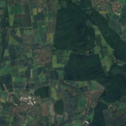
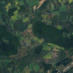
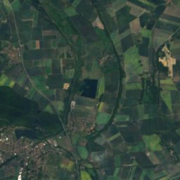
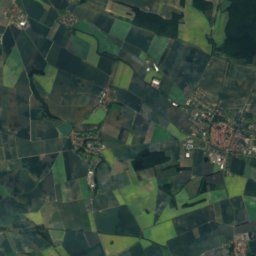
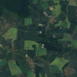
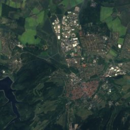
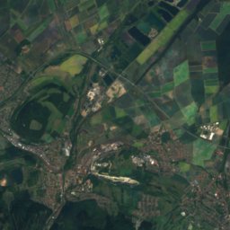
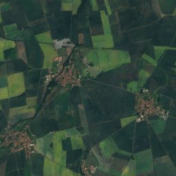
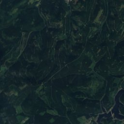
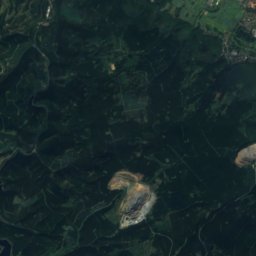
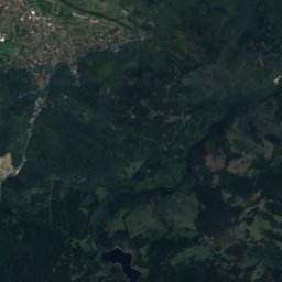
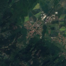
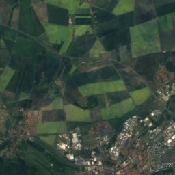
Satellite: Sentinel-2 cloudless 2016 by EOX IT Services GmbH · CC BY 4.0 · Contains modified Copernicus Sentinel data 2016
Kaltetalskopf
605 m · Harz
Satellite: Sentinel-2 cloudless 2016 by EOX IT Services GmbH · CC BY 4.0 · Contains modified Copernicus Sentinel data 2016
Kattnäse
590 m · Harz

Heritage

Satellite: Sentinel-2 cloudless 2016 by EOX IT Services GmbH · CC BY 4.0 · Contains modified Copernicus Sentinel data 2016
St. Remigius, Veltheim
cultural heritage monument in Lower Saxony
Photo: Foto: Axel Hindemith · CC BY-SA 3.0 · Wikimedia CommonsReport this photo · linked, not stored
Deutschordenskommende Lucklum
architectural heritage monument in Lower Saxony
Museums
Satellite: Sentinel-2 cloudless 2016 by EOX IT Services GmbH · CC BY 4.0 · Contains modified Copernicus Sentinel data 2016
Herzog Anton Ulrich Museum
Art museum · 1754

Staatliches Naturhistorisches Museum Braunschweig
Natural history museum · 1754


Satellite: Sentinel-2 cloudless 2016 by EOX IT Services GmbH · CC BY 4.0 · Contains modified Copernicus Sentinel data 2016