
Photo: Foto: Axel Hindemith · CC BY 3.0 · Wikimedia Commons
De EmhoffReport this photo · linked, not stored
De EmhoffReport this photo · linked, not stored

Photo: JoachimKohler-HB · CC0 · Wikimedia Commons
Wohn- und Wirtschaftsgebäude Wilsede 3Report this photo · linked, not stored
Wohn- und Wirtschaftsgebäude Wilsede 3Wohn- und Wirtschaftsgebäude Wilsede 3Report this photo · linked, not stored

Photo: Olaf Meister · CC BY-SA 4.0 · Wikimedia Commons
Wohnhaus Wilsede 7Report this photo · linked, not stored
Wohnhaus Wilsede 7Wohnhaus Wilsede 7Report this photo · linked, not stored

Photo: Willow · CC BY 2.5 · Wikimedia Commons
Gasthaus HeidemuseumReport this photo · linked, not stored
Gasthaus HeidemuseumGasthaus HeidemuseumReport this photo · linked, not stored
 Dat ole Huus
building used for both residential and stable/barnUndeloh, Lower Saxony
De Emhoff
architectural heritage monument in Lower SaxonyBuilt 1609
Typebuilding used for both residential and stable/barn
Built1609
Best monthsMay–Jun · Sepweather in Undeloh
53.16° N, 9.96° EUTC+2 · Central European Summer Time
Standing for417 years
built 1609today 2026
When to goUndeloh · weather score
Best timeMay–Jun · Sep
October: high / low13° / 6°
iAbout
De Emhoff in brief
De Emhoff is a building used for both residential and stable/barn in Undeloh, Lower Saxony, Germany. Farmhouse in Wilsede.
It holds the designation architectural heritage monument in Lower Saxony.
The building used for both residential and stable/barn dates from 1609.
For a visit, the weather in Undeloh is best in May, June and September; in October afternoons average 13°.
Facts
- Type
- building used for both residential and stable/barn
- Designation
- architectural heritage monument in Lower Saxony
- Built
- 1609
- Nearest town
- Undeloh
- Region
- Lower Saxony
- Coordinates
- 53.16500, 9.96005
iiLocation
Where to find it
iiiWhen to visit
Climate guideWeather in Undeloh
Month score for sightseeing
Best May–Jun · Sep13
Jan
20
Feb
23
Mar
51
Apr
69
May
64
Jun
64
Jul
64
Aug
66
Sep
38
Oct
15
Nov
13
Dec
ivNearby
All monuments in GermanyMore heritage close by
Wohn- und Wirtschaftsgebäude Wilsede 3
under 100 m E
cultural heritage monument in Lower Saxony

Wohn- und Wirtschaftsgebäude Wilsede 4
0.1 km NE
cultural heritage monument in Lower Saxony

Around here
Undeloh and around

Nature




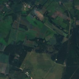

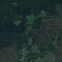

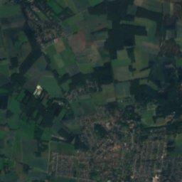
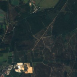

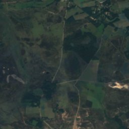

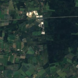
Satellite: Sentinel-2 cloudless 2016 by EOX IT Services GmbH · CC BY 4.0 · Contains modified Copernicus Sentinel data 2016
Haverbeeke
River
Mountains


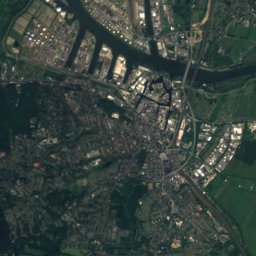
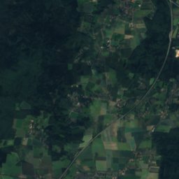
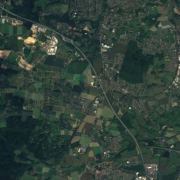
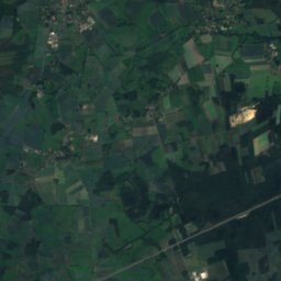
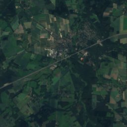
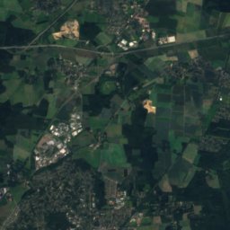
Satellite: Sentinel-2 cloudless 2016 by EOX IT Services GmbH · CC BY 4.0 · Contains modified Copernicus Sentinel data 2016
Gannaberg
155 m · Harburg Hills
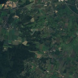
Satellite: Sentinel-2 cloudless 2016 by EOX IT Services GmbH · CC BY 4.0 · Contains modified Copernicus Sentinel data 2016
Hülsenberg
155 m · Harburg Hills
Heritage


Antoniuskirche, Bispingen
architectural heritage monument in Lower Saxony

Museums

Photo: Presse Kunststätte Bossard · CC BY 3.0 · Wikimedia CommonsReport this photo · linked, not stored


