Skip to content
Destinations
Weather & climate
Nature
Outdoors
Culture
Events
Sky & live
Culmitzsch
Photo: Rudolf Eberhard Neuber · CC BY-SA 3.0 · Wikimedia Commons
CulmitzschReport this photo · linked, not stored
Protestant Church Großkundorf
Photo: Aschroet · CC0 · Wikimedia Commons
Protestant Church GroßkundorfReport this photo · linked, not stored
Protestant Church Großkundorf
St. Johannis, Seelingstädt
Photo: Lucas Friese · CC BY-SA 3.0 · Wikimedia Commons
St. Johannis, SeelingstädtReport this photo · linked, not stored
St. Johannis, Seelingstädt
Protestant Church Wolfersdorf
Photo: Liesel · CC BY-SA 3.0 · Wikimedia Commons
Protestant Church WolfersdorfReport this photo · linked, not stored
Protestant Church Wolfersdorf
Church Gauern
Photo: Lucas Friese · CC BY-SA 3.0 · Wikimedia Commons
Church GauernReport this photo · linked, not stored
Church Gauern
abandoned villageBerga, Thuringia

Culmitzsch

Kulturdenkmal
Typeabandoned village
Built–
Best monthsJun · Aug–Sepweather in Berga
50.76° N, 12.21° EUTC+1 · Central European Standard Time
When to goBerga · weather score
JanFebMarAprMayJunJulAugSepOctNovDec49October
Best timeJun · Aug–Sep
October: high / low14° / 6°
iAbout

Culmitzsch in brief

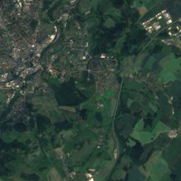
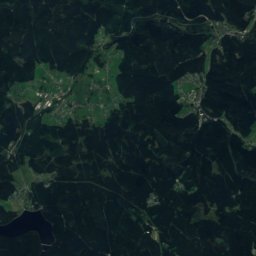
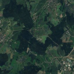
Culmitzsch is an abandoned village in Berga, Thuringia, Germany.

It holds the designation Kulturdenkmal.

For a visit, the weather in Berga is best in June, August and September; in October afternoons average 14°.

Berga: weather and travel guide

Facts

Type
abandoned village
Designation
Kulturdenkmal
Nearest town
Berga
Region
Thuringia
Coordinates
50.75500, 12.20750
iiLocation

Where to find it

iiiWhen to visit

Weather in Berga

Climate guide

Month score for sightseeing

Best Jun · Aug–Sep
16
Jan
27
Feb
24
Mar
59
Apr
65
May
66
Jun
64
Jul
69
Aug
72
Sep
49
Oct
23
Nov
15
Dec
ivNearby

More heritage close by

All monuments in Germany
Protestant Church Großkundorf
Photo: Aschroet · CC0 · Wikimedia CommonsReport this photo · linked, not stored

Protestant Church Großkundorf

1.2 km SW
Heritage monument in Thuringia
Protestant Church Großkundorf
St. Johannis, Seelingstädt
Photo: Lucas Friese · CC BY-SA 3.0 · Wikimedia CommonsReport this photo · linked, not stored

St. Johannis, Seelingstädt

3.3 km NE
Heritage monument in Thuringia
St. Johannis, Seelingstädt
Protestant Church Wolfersdorf
Photo: Liesel · CC BY-SA 3.0 · Wikimedia CommonsReport this photo · linked, not stored

Protestant Church Wolfersdorf

3.9 km NW
Heritage monument in Thuringia
Protestant Church Wolfersdorf
Church Gauern
Photo: Lucas Friese · CC BY-SA 3.0 · Wikimedia CommonsReport this photo · linked, not stored

Church Gauern

4.2 km N
Heritage monument in Thuringia
Church Gauern
Christ Church Chursdorf
Photo: Liesel · CC BY-SA 3.0 · Wikimedia CommonsReport this photo · linked, not stored

Christ Church Chursdorf

4.4 km NE
Heritage monument in Thuringia
Christ Church Chursdorf
Church Teichwolframsdorf
Photo: Je-str · CC BY 3.0 · Wikimedia CommonsReport this photo · linked, not stored

Church Teichwolframsdorf

4.7 km SE
Heritage monument in Thuringia
Church Teichwolframsdorf
Around here

Berga and around

Berga
Photo: Rudolf Eberhard Neuber · CC BY-SA 3.0 · Wikimedia CommonsReport this photo · linked, not stored

Berga

Thuringia · Germany
Jun · Aug–Sepbest months
25°July high
240 maltitude
Berga

Nature

Auma
Photo: I, Schorle · CC BY-SA 3.0 · Wikimedia CommonsReport this photo · linked, not stored
7.6 km W

Auma

River · 232 m
Auma
Aubach (Weiße Elster)
Photo: Greizer2 · CC0 · Wikimedia CommonsReport this photo · linked, not stored
11 km S

Aubach (Weiße Elster)

River
Aubach (Weiße Elster)
Göltzsch
Photo: Darkone (talk · contribs) · CC BY-SA 2.5 · Wikimedia CommonsReport this photo · linked, not stored
12 km S

Göltzsch

River
Göltzsch

Mountains

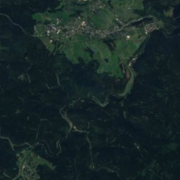
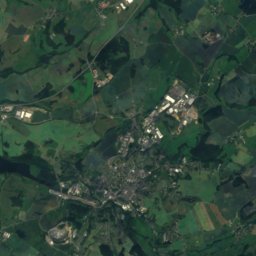
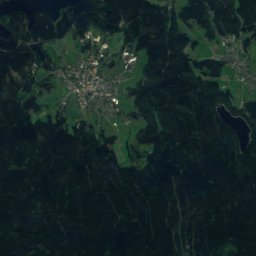
Satellite: Sentinel-2 cloudless 2016 by EOX IT Services GmbH · CC BY 4.0 · Contains modified Copernicus Sentinel data 2016
39 km S

Rehhübel

932 m · Ore Mountains
Rehhübel
Kuhberg (Stützengrün)
Photo: Peng · CC BY-SA 3.0 · Wikimedia CommonsReport this photo · linked, not stored
34 km SE

Kuhberg (Stützengrün)

795 m · Ore Mountains
Kuhberg (Stützengrün)
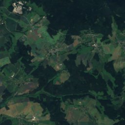
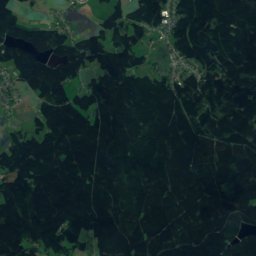
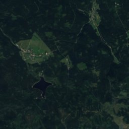
Satellite: Sentinel-2 cloudless 2016 by EOX IT Services GmbH · CC BY 4.0 · Contains modified Copernicus Sentinel data 2016
39 km SE

Thierberg

783 m · Ore Mountains
Thierberg

Heritage

Protestant Church Großkundorf
Photo: Aschroet · CC0 · Wikimedia CommonsReport this photo · linked, not stored
2.6 km E

Protestant Church Großkundorf

Heritage monument in Thuringia
Protestant Church Großkundorf
Haus Schulenburg
Photo: Joachim Bartz · CC BY-SA 3.0 · Wikimedia CommonsReport this photo · linked, not stored
15 km NW

Haus Schulenburg

Kulturdenkmal · 1915
Haus Schulenburg
Blankenhain Castle
Photo: André Karwath aka Aka · CC BY-SA 2.5 · Wikimedia CommonsReport this photo · linked, not stored
10 km NE

Blankenhain Castle

heritage monument in Saxony · 1601
Blankenhain Castle

Museums

Heimatmuseum Spittel
Photo: Jwaller · CC BY-SA 3.0 · Wikimedia CommonsReport this photo · linked, not stored
0.2 km W

Heimatmuseum Spittel

Local museum · 1999
Heimatmuseum Spittel
Museum für Angewandte Kunst
Photo: Zacke82 · CC BY-SA 3.0 · Wikimedia CommonsReport this photo · linked, not stored
15 km N

Museum für Angewandte Kunst

1984
Museum für Angewandte Kunst
Museum Burg Posterstein
Photo: Museum Burg Posterstein · CC BY-SA 4.0 · Wikimedia CommonsReport this photo · linked, not stored
14 km NE

Museum Burg Posterstein

History museum
Museum Burg Posterstein