
Photo: Jürgen Regel, Marian… · CC BY 3.0 · Wikimedia Commons
Cölle-TowerReport this photo · linked, not stored
Cölle-TowerReport this photo · linked, not stored

Photo: Kuelly90 · CC BY-SA 4.0 · Wikimedia Commons
Kapelle LübbrechtsenReport this photo · linked, not stored
Kapelle LübbrechtsenKapelle LübbrechtsenReport this photo · linked, not stored

Photo: Quobronngl · CC BY-SA 4.0 · Wikimedia Commons
St. Gallus, EimeReport this photo · linked, not stored
St. Gallus, EimeSt. Gallus, EimeReport this photo · linked, not stored

Photo: Foto: Axel Hindemith · CC BY-SA 3.0 · Wikimedia Commons
Stadtbefestigung GronauReport this photo · linked, not stored
Stadtbefestigung GronauStadtbefestigung GronauReport this photo · linked, not stored

Photo: GeorgDerReisende · CC BY-SA 4.0 · Wikimedia Commons
Schiefer Turm von GronauReport this photo · linked, not stored
Schiefer Turm von GronauSchiefer Turm von GronauReport this photo · linked, not stored
observation towerBanteln, Lower Saxony
Cölle-Tower
architectural heritage monument in Lower Saxony
Typeobservation tower
Built–
Best monthsMay–Jun · Sepweather in Banteln
52.05° N, 9.73° EUTC+1 · Central European Standard Time
When to goBanteln · weather score
Best timeMay–Jun · Sep
October: high / low14° / 7°
iAbout
Cölle-Tower in brief
Cölle-Tower is an observation tower in Banteln, Lower Saxony, Germany.
It holds the designation architectural heritage monument in Lower Saxony.
For a visit, the weather in Banteln is best in May, June and September; in October afternoons average 14°.
Facts
- Type
- observation tower
- Designation
- architectural heritage monument in Lower Saxony
- Nearest town
- Banteln
- Region
- Lower Saxony
- Coordinates
- 52.05490, 9.72502
iiLocation
Where to find it
iiiWhen to visit
Climate guideWeather in Banteln
Month score for sightseeing
Best May–Jun · Sep15
Jan
22
Feb
22
Mar
55
Apr
68
May
65
Jun
64
Jul
64
Aug
69
Sep
43
Oct
16
Nov
14
Dec
ivNearby
All monuments in GermanyMore heritage close by
Satellite: Sentinel-2 cloudless 2016 by EOX IT Services GmbH · CC BY 4.0 · Contains modified Copernicus Sentinel data 2016
St. Jakobus, Eime
2.5 km N
architectural heritage monument in Lower Saxony
Satellite: Sentinel-2 cloudless 2016 by EOX IT Services GmbH · CC BY 4.0 · Contains modified Copernicus Sentinel data 2016
Brüggen Castle
3.6 km E
cultural heritage monument in Lower Saxony
Photo: Foto: Axel Hindemith · CC BY-SA 3.0 · Wikimedia CommonsReport this photo · linked, not stored
Stadtbefestigung Gronau
4.7 km NE
cultural heritage monument in Lower Saxony
Around here
Banteln and around

Nature


Mountains
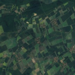
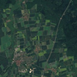
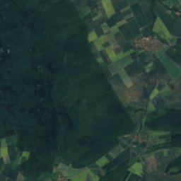
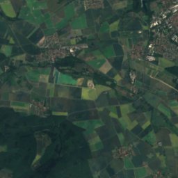
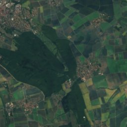
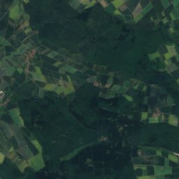
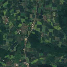
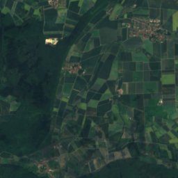
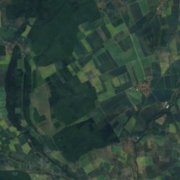
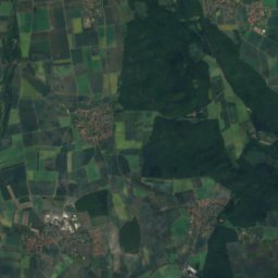
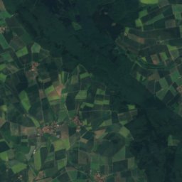
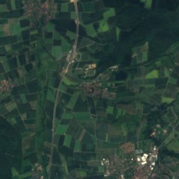
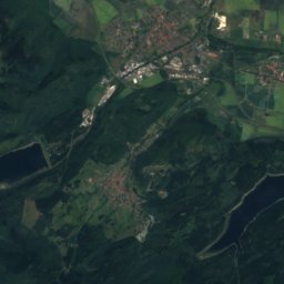
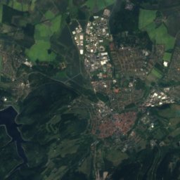
Satellite: Sentinel-2 cloudless 2016 by EOX IT Services GmbH · CC BY 4.0 · Contains modified Copernicus Sentinel data 2016
Sangenberg
566 m

Photo: Uli Berxel Uli Berxel · Public domain · Wikimedia CommonsReport this photo · linked, not stored
Große Blöße
528 m · Solling

Photo: Jan Stubenitzky (Dehio) · CC BY-SA 3.0 · Wikimedia CommonsReport this photo · linked, not stored
Großer Ahrensberg
525 m · Solling
Heritage
Photo: Foto: Axel Hindemith · CC BY-SA 3.0 · Wikimedia CommonsReport this photo · linked, not stored
Stadtbefestigung Gronau
cultural heritage monument in Lower Saxony

Museums

Satellite: Sentinel-2 cloudless 2016 by EOX IT Services GmbH · CC BY 4.0 · Contains modified Copernicus Sentinel data 2016


