Skip to content
Destinations
Weather & climate
Nature
Outdoors
Culture
Events
Sky & live
Bugenhagenhaus
Photo: M_H.DE · CC BY-SA 3.0 · Wikimedia Commons
BugenhagenhausReport this photo · linked, not stored
Diakonat, Teuchel
Photo: Olaf2 · CC BY-SA 4.0 · Wikimedia Commons
Diakonat, TeuchelReport this photo · linked, not stored
Diakonat, Teuchel
monument for Johannes Bugenhagen, Wittenberg
Photo: Cookroach · CC BY-SA 4.0 · Wikimedia Commons
monument for Johannes Bugenhagen, WittenbergReport this photo · linked, not stored
monument for Johannes Bugenhagen, Wittenberg
Jüdenstraße 9
Photo: Olaf2 · CC BY-SA 4.0 · Wikimedia Commons
Jüdenstraße 9Report this photo · linked, not stored
Jüdenstraße 9
Jüdenstraße 4
Photo: Olaf2 · CC BY-SA 4.0 · Wikimedia Commons
Jüdenstraße 4Report this photo · linked, not stored
Jüdenstraße 4
built structureTeuchel, Saxony-Anhalt

Bugenhagenhaus

heritage monument in Saxony-Anhalt
Typebuilt structure
Built–
Best monthsMay–Jun · Sepweather in Teuchel
51.87° N, 12.65° EUTC+2 · Central European Summer Time
When to goTeuchel · weather score
JanFebMarAprMayJunJulAugSepOctNovDec50October
Best timeMay–Jun · Sep
October: high / low14° / 6°
iAbout

Bugenhagenhaus in brief

Bugenhagenhaus is a built structure in Teuchel, Saxony-Anhalt, Germany.

It holds the designation heritage monument in Saxony-Anhalt.

For a visit, the weather in Teuchel is best in May, June and September; in October afternoons average 14°.

Teuchel: weather and travel guide

Facts

Type
built structure
Designation
heritage monument in Saxony-Anhalt
Nearest town
Teuchel
Region
Saxony-Anhalt
Coordinates
51.86690, 12.64550
iiLocation

Where to find it

iiiWhen to visit

Weather in Teuchel

Climate guide

Month score for sightseeing

Best May–Jun · Sep
18
Jan
27
Feb
25
Mar
64
Apr
72
May
70
Jun
64
Jul
70
Aug
74
Sep
50
Oct
23
Nov
19
Dec
ivNearby

More heritage close by

All monuments in Germany
Diakonat, Teuchel
Photo: Olaf2 · CC BY-SA 4.0 · Wikimedia CommonsReport this photo · linked, not stored

Diakonat, Teuchel

under 100 m NE
heritage monument in Saxony-Anhalt
Diakonat, Teuchel
monument for Johannes Bugenhagen, Wittenberg
Photo: Cookroach · CC BY-SA 4.0 · Wikimedia CommonsReport this photo · linked, not stored

monument for Johannes Bugenhagen, Wittenberg

under 100 m W
heritage monument in Saxony-Anhalt
monument for Johannes Bugenhagen, Wittenberg
Jüdenstraße 9
Photo: Olaf2 · CC BY-SA 4.0 · Wikimedia CommonsReport this photo · linked, not stored

Jüdenstraße 9

under 100 m NE
heritage monument in Saxony-Anhalt
Jüdenstraße 9
Jüdenstraße 4
Photo: Olaf2 · CC BY-SA 4.0 · Wikimedia CommonsReport this photo · linked, not stored

Jüdenstraße 4

under 100 m NW
heritage monument in Saxony-Anhalt
Jüdenstraße 4
Jüdenstraße 33
Photo: Olaf2 · CC BY-SA 4.0 · Wikimedia CommonsReport this photo · linked, not stored

Jüdenstraße 33

under 100 m E
heritage monument in Saxony-Anhalt
Jüdenstraße 33
Stadtkirche Wittenberg
Photo: W. Bulach · CC BY-SA 4.0 · Wikimedia CommonsReport this photo · linked, not stored

Stadtkirche Wittenberg

under 100 m SW
part of UNESCO World Heritage Site
Stadtkirche Wittenberg
Around here

Teuchel and around

Teuchel
Photo: W. Bulach · CC BY-SA 4.0 · Wikimedia CommonsReport this photo · linked, not stored

Teuchel

Saxony-Anhalt · Germany
May–Jun · Sepbest months
25°July high
95 maltitude
Teuchel

Nature

Crassensee
Photo: Benutzer:Ulf.johannes · CC BY 3.0 · Wikimedia CommonsReport this photo · linked, not stored
9.9 km SW

Crassensee

Lake · 64 m
Crassensee
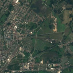
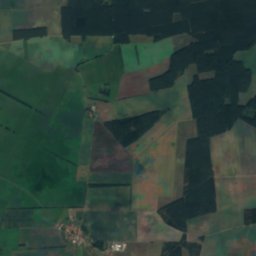
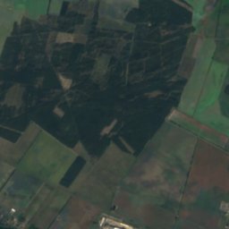
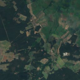
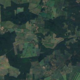
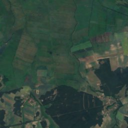
Satellite: Sentinel-2 cloudless 2016 by EOX IT Services GmbH · CC BY 4.0 · Contains modified Copernicus Sentinel data 2016
12 km SE

Großer Streng

Lake · 74 m
Großer Streng
Gremminer See
Photo: Thomas Zieger · Public domain · Wikimedia CommonsReport this photo · linked, not stored
20 km SW

Gremminer See

Lake · 79 m
Gremminer See

Mountains

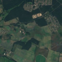
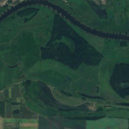
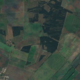
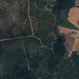
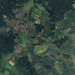
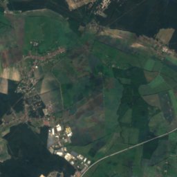
Satellite: Sentinel-2 cloudless 2016 by EOX IT Services GmbH · CC BY 4.0 · Contains modified Copernicus Sentinel data 2016
29 km N

Hagelberg

200 m · Fläming Heath
Hagelberg
Börnickenberg
Photo: Assenmacher · CC0 · Wikimedia CommonsReport this photo · linked, not stored
35 km E

Börnickenberg

129 m
Börnickenberg
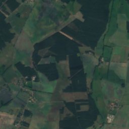
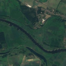
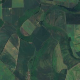
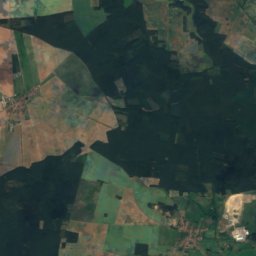
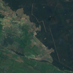
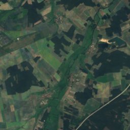
Satellite: Sentinel-2 cloudless 2016 by EOX IT Services GmbH · CC BY 4.0 · Contains modified Copernicus Sentinel data 2016
30 km N

Heideberg (Grevesmühlen)

113 m
Heideberg (Grevesmühlen)

Heritage

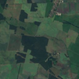
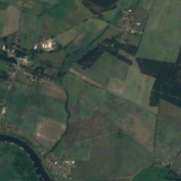
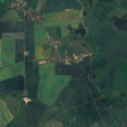
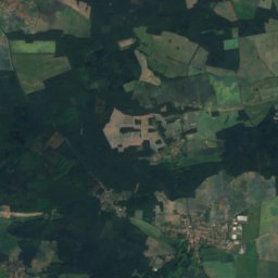
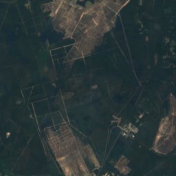
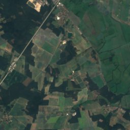
Satellite: Sentinel-2 cloudless 2016 by EOX IT Services GmbH · CC BY 4.0 · Contains modified Copernicus Sentinel data 2016
2.4 km S

Stadtkirche Wittenberg

part of UNESCO World Heritage Site · 1281
Stadtkirche Wittenberg
Satellite: Sentinel-2 cloudless 2016 by EOX IT Services GmbH · CC BY 4.0 · Contains modified Copernicus Sentinel data 2016
2.5 km S

Castle Church, Wittenberg

part of UNESCO World Heritage Site · 1346
Castle Church, Wittenberg
Luther Memorials in Eisleben and Wittenberg
Photo: A.Savin · FAL · Wikimedia CommonsReport this photo · linked, not stored
2.7 km S

Luther Memorials in Eisleben and Wittenberg

World Heritage Site
Luther Memorials in Eisleben and Wittenberg

Museums

Lutherhaus Wittenberg
Photo: A.Savin · FAL · Wikimedia CommonsReport this photo · linked, not stored
2.7 km S

Lutherhaus Wittenberg

Lutherhaus Wittenberg
Melanchthonhaus (Wittenberg)
Photo: A.Savin · FAL · Wikimedia CommonsReport this photo · linked, not stored
2.7 km S

Melanchthonhaus (Wittenberg)

Historic house museum · 1954
Melanchthonhaus (Wittenberg)
Museum der städtischen Sammlungen im Zeughaus
Photo: Horst Pomplun · CC BY-SA 4.0 · Wikimedia CommonsReport this photo · linked, not stored
2.3 km S

Museum der städtischen Sammlungen im Zeughaus

Museum der städtischen Sammlungen im Zeughaus