
Satellite: Sentinel-2 cloudless 2016 by EOX IT Services GmbH · CC BY 4.0 · Contains modified Copernicus Sentinel data 2016

Photo: Jan Stubenitzky (Dehio) · CC BY-SA 3.0 · Wikimedia Commons
St. Johannes der Täufer, SchedenReport this photo · linked, not stored
St. Johannes der Täufer, SchedenSt. Johannes der Täufer, SchedenReport this photo · linked, not stored

Photo: Bodo Kubrak · CC BY-SA 4.0 · Wikimedia Commons
Kirche LippoldshausenReport this photo · linked, not stored
Kirche LippoldshausenKirche LippoldshausenReport this photo · linked, not stored

Photo: Jan Stubenitzky (Dehio) · CC BY-SA 3.0 · Wikimedia Commons
St. Markus, SchedenReport this photo · linked, not stored
St. Markus, SchedenSt. Markus, SchedenReport this photo · linked, not stored

Photo: Barbara Arand · CC BY-SA 4.0 · Wikimedia Commons
Jüdischer Friedhof, SchedenReport this photo · linked, not stored
Jüdischer Friedhof, SchedenJüdischer Friedhof, SchedenReport this photo · linked, not stored
castle ruinScheden, Lower Saxony
Brackenburg
architectural heritage monument in Lower SaxonyBuilt 1303
Typecastle ruin
Built1303
Best monthsMay · Aug–Sepweather in Scheden
51.43° N, 9.75° EUTC+2 · Central European Summer Time
Standing for723 years
built 1303today 2026
When to goScheden · weather score
Best timeMay · Aug–Sep
October: high / low13° / 6°
iAbout
Brackenburg in brief
Brackenburg is a castle ruin in Scheden, Lower Saxony, Germany.
It holds the designation architectural heritage monument in Lower Saxony.
The castle ruin dates from 1303.
For a visit, the weather in Scheden is best in May, August and September; in October afternoons average 13°.
Facts
- Type
- castle ruin
- Designation
- architectural heritage monument in Lower Saxony
- Built
- 1303
- Nearest town
- Scheden
- Region
- Lower Saxony
- Coordinates
- 51.43310, 9.74750
iiLocation
Where to find it
iiiWhen to visit
Climate guideWeather in Scheden
Month score for sightseeing
Best May · Aug–Sep13
Jan
19
Feb
20
Mar
50
Apr
64
May
62
Jun
63
Jul
65
Aug
69
Sep
37
Oct
14
Nov
11
Dec
ivNearby
All monuments in GermanyMore heritage close by
Photo: Jan Stubenitzky (Dehio) · CC BY-SA 3.0 · Wikimedia CommonsReport this photo · linked, not stored
St. Johannes der Täufer, Scheden
1.3 km NE
architectural heritage monument in Lower Saxony
Photo: Jan Stubenitzky (Dehio) · CC BY-SA 3.0 · Wikimedia CommonsReport this photo · linked, not stored
St. Markus, Scheden
3.4 km N
architectural heritage monument in Lower Saxony
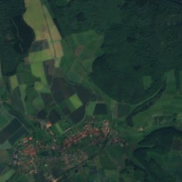
Satellite: Sentinel-2 cloudless 2016 by EOX IT Services GmbH · CC BY 4.0 · Contains modified Copernicus Sentinel data 2016
Hedemunden
4.2 km S
Kulturdenkmal

Jüdischer Friedhof, Scheden
4.6 km NW
cultural heritage monument in Lower Saxony

Photo: Jan Stubenitzky (Dehio) · CC BY-SA 4.0 · Wikimedia CommonsReport this photo · linked, not stored
Barlissen
4.8 km E
cultural heritage monument in Lower Saxony
Around here
Scheden and around


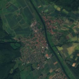
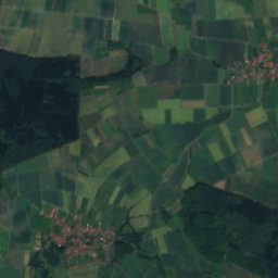
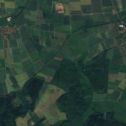
Mountains
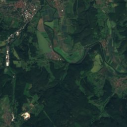
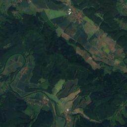
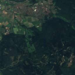
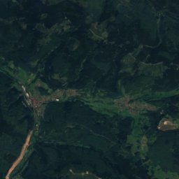
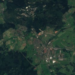
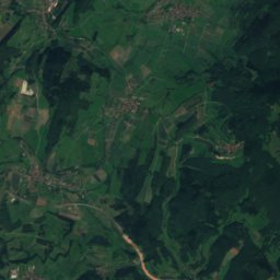
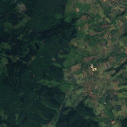
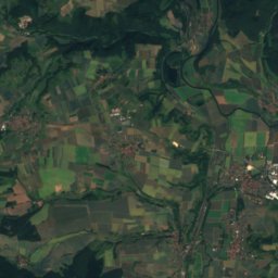
Satellite: Sentinel-2 cloudless 2016 by EOX IT Services GmbH · CC BY 4.0 · Contains modified Copernicus Sentinel data 2016
Kasseler Kuppe
754 m

Photo: © Heinrich Stürzl / Wikimedia Commons · CC BY-SA 4.0 · Wikimedia CommonsReport this photo · linked, not stored
Hoher Meissner
753 m

Heritage
Jüdischer Friedhof, Scheden
cultural heritage monument in Lower Saxony · 1797
Photo: Jan Stubenitzky (Dehio) · CC BY-SA 3.0 · Wikimedia CommonsReport this photo · linked, not stored
St. Markus, Scheden
architectural heritage monument in Lower Saxony
Photo: Jan Stubenitzky (Dehio) · CC BY-SA 3.0 · Wikimedia CommonsReport this photo · linked, not stored
St. Johannes der Täufer, Scheden
architectural heritage monument in Lower Saxony
Museums

Deutsches Institut für Tropische und Subtropische Landwirtschaft (Witzenhausen, Germany)
Ethnographic museum · 1956





Satellite: Sentinel-2 cloudless 2016 by EOX IT Services GmbH · CC BY 4.0 · Contains modified Copernicus Sentinel data 2016