
Photo: Olaf Meister · CC BY-SA 4.0 · Wikimedia Commons
Bode WeirReport this photo · linked, not stored
Bode WeirReport this photo · linked, not stored

Photo: Radler59 (talk) · CC BY-SA 4.0 · Wikimedia Commons
Wasserturm AthenslebenReport this photo · linked, not stored
Wasserturm AthenslebenWasserturm AthenslebenReport this photo · linked, not stored

Photo: Kirchenfan · CC0 · Wikimedia Commons
St. Franziskus Xaverius, UnseburgReport this photo · linked, not stored
St. Franziskus Xaverius, UnseburgSt. Franziskus Xaverius, UnseburgReport this photo · linked, not stored

Photo: Rico-U · CC BY-SA 3.0 · Wikimedia Commons
St. Josef, HecklingenReport this photo · linked, not stored
St. Josef, HecklingenSt. Josef, HecklingenReport this photo · linked, not stored

Photo: Radler59 (talk) · CC BY-SA 4.0 · Wikimedia Commons
Wasserturm LöderburgReport this photo · linked, not stored
Wasserturm LöderburgWasserturm LöderburgReport this photo · linked, not stored
weirUnseburg, Saxony-Anhalt
Bode Weir
heritage monument in Saxony-Anhalt
Typeweir
Built–
Best monthsMay–Jun · Sepweather in Unseburg
51.91° N, 11.53° EUTC+2 · Central European Summer Time
When to goUnseburg · weather score
Best timeMay–Jun · Sep
October: high / low15° / 6°
iAbout
Bode Weir in brief
Bode Weir is a weir in Unseburg, Saxony-Anhalt, Germany.
It holds the designation heritage monument in Saxony-Anhalt.
For a visit, the weather in Unseburg is best in May, June and September; in October afternoons average 15°.
Facts
- Type
- weir
- Designation
- heritage monument in Saxony-Anhalt
- Nearest town
- Unseburg
- Region
- Saxony-Anhalt
- Coordinates
- 51.90760, 11.52569
iiLocation
Where to find it
iiiWhen to visit
Climate guideWeather in Unseburg
Month score for sightseeing
Best May–Jun · Sep18
Jan
26
Feb
26
Mar
64
Apr
72
May
70
Jun
64
Jul
70
Aug
74
Sep
51
Oct
23
Nov
16
Dec
ivNearby
All monuments in GermanyMore heritage close by
St. Franziskus Xaverius, Unseburg
2.9 km N
heritage monument in Saxony-Anhalt


St. Johannes Baptist, Wolmirsleben
4.8 km NW
heritage monument in Saxony-Anhalt
Around here
Unseburg and around
Nature
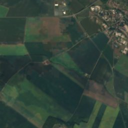
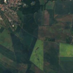
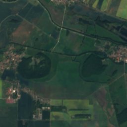
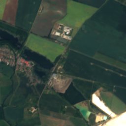
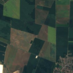
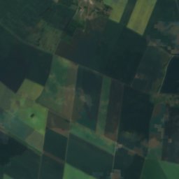
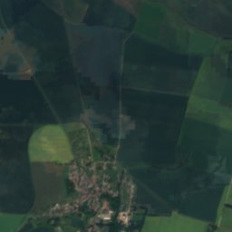
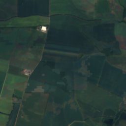
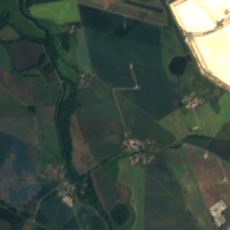
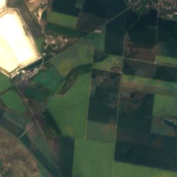
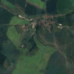
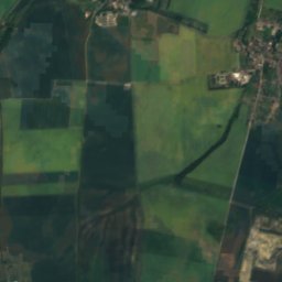
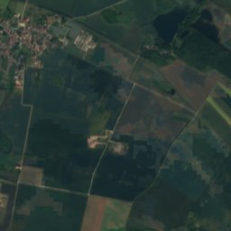
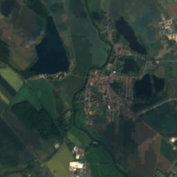
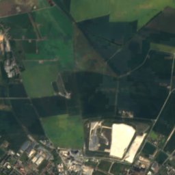
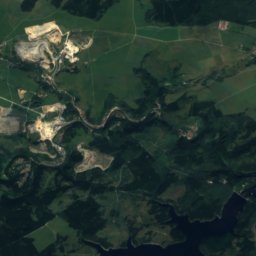
Satellite: Sentinel-2 cloudless 2016 by EOX IT Services GmbH · CC BY 4.0 · Contains modified Copernicus Sentinel data 2016
Löderburger See
Lake · 58 m


Mountains
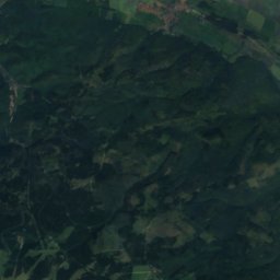
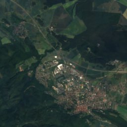
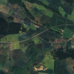
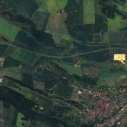
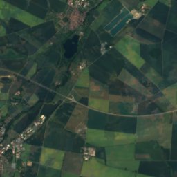
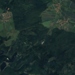
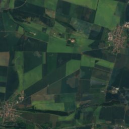
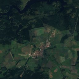
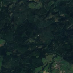
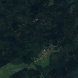
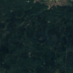
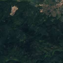
Satellite: Sentinel-2 cloudless 2016 by EOX IT Services GmbH · CC BY 4.0 · Contains modified Copernicus Sentinel data 2016
Georgshöhe
386 m · Harz
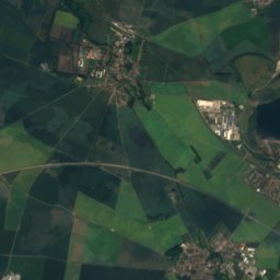
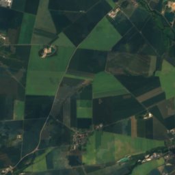
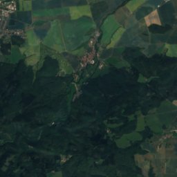
Satellite: Sentinel-2 cloudless 2016 by EOX IT Services GmbH · CC BY 4.0 · Contains modified Copernicus Sentinel data 2016
Alte Burg, Saxony-Anhalt
325 m · Harz
Satellite: Sentinel-2 cloudless 2016 by EOX IT Services GmbH · CC BY 4.0 · Contains modified Copernicus Sentinel data 2016
Ölbergshöhe
321 m · Harz
Heritage






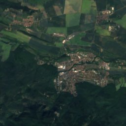
Satellite: Sentinel-2 cloudless 2016 by EOX IT Services GmbH · CC BY 4.0 · Contains modified Copernicus Sentinel data 2016
St. Franziskus Xaverius, Unseburg
heritage monument in Saxony-Anhalt
St. Johannes Baptist, Wolmirsleben
heritage monument in Saxony-Anhalt

Museums







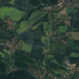
Satellite: Sentinel-2 cloudless 2016 by EOX IT Services GmbH · CC BY 4.0 · Contains modified Copernicus Sentinel data 2016
Fahrzeugmuseum Staßfurt
Automobile museum






Satellite: Sentinel-2 cloudless 2016 by EOX IT Services GmbH · CC BY 4.0 · Contains modified Copernicus Sentinel data 2016
Museum für Bodenschätzung







Satellite: Sentinel-2 cloudless 2016 by EOX IT Services GmbH · CC BY 4.0 · Contains modified Copernicus Sentinel data 2016