

Photo: Foto: Axel Hindemith · CC BY-SA 3.0 · Wikimedia Commons
Poststraße 2Report this photo · linked, not stored
Poststraße 2Poststraße 2Report this photo · linked, not stored

Photo: GeorgDerReisende · CC BY-SA 4.0 · Wikimedia Commons
Knickstraße 2Report this photo · linked, not stored
Knickstraße 2Knickstraße 2Report this photo · linked, not stored

Photo: Foto: Axel Hindemith · CC BY-SA 3.0 · Wikimedia Commons
MagdalenenfriedhofReport this photo · linked, not stored
MagdalenenfriedhofMagdalenenfriedhofReport this photo · linked, not stored

Photo: losch · CC BY-SA 3.0 · Wikimedia Commons
Kapelle des MagdalenenfriedhofsReport this photo · linked, not stored
Kapelle des MagdalenenfriedhofsKapelle des MagdalenenfriedhofsReport this photo · linked, not stored
post millBurgdorf, Lower Saxony
Bockwindmühle
cultural heritage monument in Lower Saxony
Typepost mill
Built–
Best monthsMay–Jun · Sepweather in Burgdorf
52.46° N, 10.01° EUTC+1 · Central European Standard Time
When to goBurgdorf · weather score
Best timeMay–Jun · Sep
October: high / low14° / 7°
iAbout
Bockwindmühle in brief
Bockwindmühle is a post mill in Burgdorf, Lower Saxony, Germany.
It holds the designation cultural heritage monument in Lower Saxony.
For a visit, the weather in Burgdorf is best in May, June and September; in October afternoons average 14°.
Facts
- Type
- post mill
- Designation
- cultural heritage monument in Lower Saxony
- Nearest town
- Burgdorf
- Region
- Lower Saxony
- Coordinates
- 52.46229, 10.01285
iiLocation
Where to find it
iiiWhen to visit
Climate guideWeather in Burgdorf
Month score for sightseeing
Best May–Jun · Sep14
Jan
21
Feb
23
Mar
56
Apr
68
May
65
Jun
64
Jul
65
Aug
71
Sep
45
Oct
16
Nov
13
Dec
ivNearby
All monuments in GermanyMore heritage close by
Photo: Foto: Axel Hindemith · CC BY-SA 3.0 · Wikimedia CommonsReport this photo · linked, not stored
Poststraße 2
1.8 km S
architectural heritage monument in Lower Saxony
Satellite: Sentinel-2 cloudless 2016 by EOX IT Services GmbH · CC BY 4.0 · Contains modified Copernicus Sentinel data 2016
St. Pankratius, Burgdorf
1.9 km S
cultural heritage monument in Lower Saxony
Photo: Foto: Axel Hindemith · CC BY-SA 3.0 · Wikimedia CommonsReport this photo · linked, not stored
Magdalenenfriedhof
1.9 km S
cultural heritage monument in Lower Saxony
Kapelle des Magdalenenfriedhofs
1.9 km S
cultural heritage monument in Lower Saxony

Photo: Foto: Axel Hindemith · CC BY-SA 4.0 · Wikimedia CommonsReport this photo · linked, not stored
Schloss Burgdorf
1.9 km S
cultural heritage monument in Lower Saxony
Around here
Burgdorf and around
Photo: Foto: Axel Hindemith · CC BY-SA 3.0 · Wikimedia CommonsReport this photo · linked, not stored
Burgdorf
Lower Saxony · Germany
May–Jun · Sepbest months
24°July high
55 maltitude
Nature
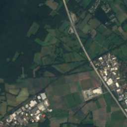
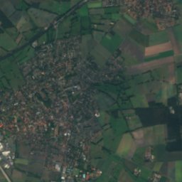
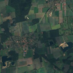
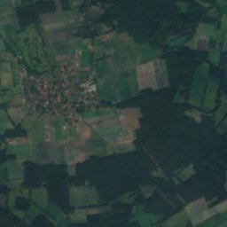
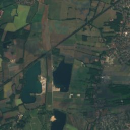
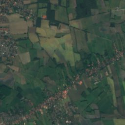
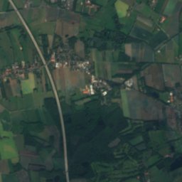
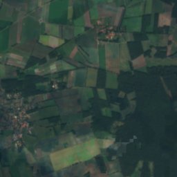
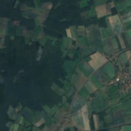
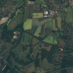
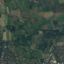
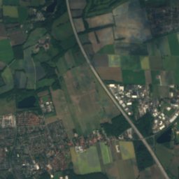
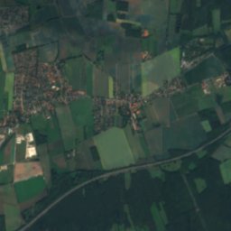
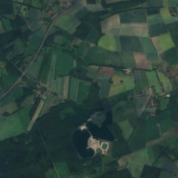
Satellite: Sentinel-2 cloudless 2016 by EOX IT Services GmbH · CC BY 4.0 · Contains modified Copernicus Sentinel data 2016
Wietze (Aller)
River

Photo: Udo Leiser at de.wikipedia · CC BY 3.0 · Wikimedia CommonsReport this photo · linked, not stored
Hohnhorstsee
Lake · 55 m

Photo: Ra Boe / Wikipedia · CC BY-SA 3.0 de · Wikimedia CommonsReport this photo · linked, not stored
Kirchhorster See
Lake
Mountains

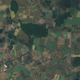
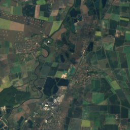
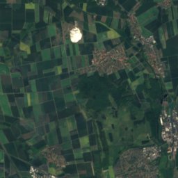
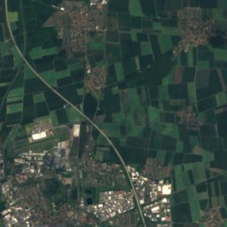
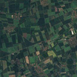
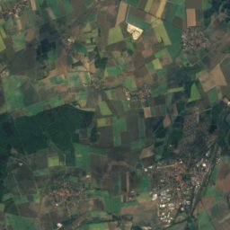
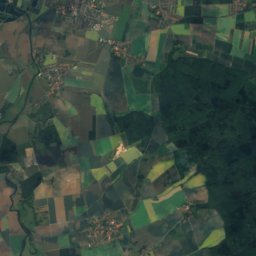
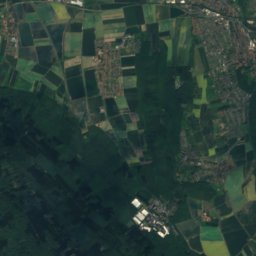
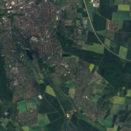
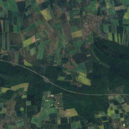
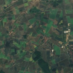
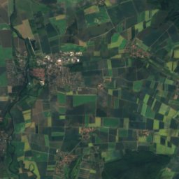
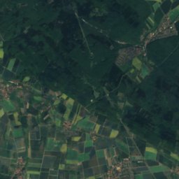
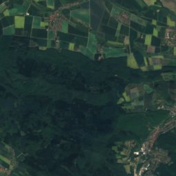
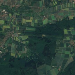
Satellite: Sentinel-2 cloudless 2016 by EOX IT Services GmbH · CC BY 4.0 · Contains modified Copernicus Sentinel data 2016
Lerchen-Berg
243 m · Giesen Hills
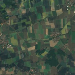
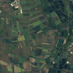
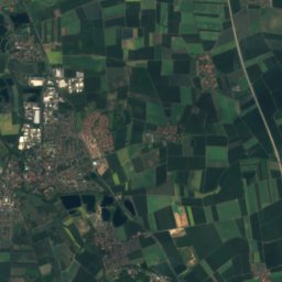
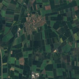
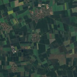
Satellite: Sentinel-2 cloudless 2016 by EOX IT Services GmbH · CC BY 4.0 · Contains modified Copernicus Sentinel data 2016
Finkenberg, Lower Saxony
223 m · Giesen Hills
Heritage

Satellite: Sentinel-2 cloudless 2016 by EOX IT Services GmbH · CC BY 4.0 · Contains modified Copernicus Sentinel data 2016
Poststraße 2
architectural heritage monument in Lower Saxony · 1811
Satellite: Sentinel-2 cloudless 2016 by EOX IT Services GmbH · CC BY 4.0 · Contains modified Copernicus Sentinel data 2016
St. Pankratius, Burgdorf
cultural heritage monument in Lower Saxony · 1811
Photo: Foto: Axel Hindemith · CC BY-SA 4.0 · Wikimedia CommonsReport this photo · linked, not stored
Schloss Burgdorf
cultural heritage monument in Lower Saxony
Museums


Photo: Foto von Hydro bei Wikipedia · CC BY-SA 4.0 · Wikimedia CommonsReport this photo · linked, not stored

Antikriegshaus Sievershausen

Photo: Udo Leiser at de.wikipedia · CC BY 3.0 · Wikimedia CommonsReport this photo · linked, not stored
