Satellite: Sentinel-2 cloudless 2016 by EOX IT Services GmbH · CC BY 4.0 · Contains modified Copernicus Sentinel data 2016

Photo: Benjamin Reinhard · CC BY 2.5 · Wikimedia Commons
Humberg TowerReport this photo · linked, not stored
Humberg TowerHumberg TowerReport this photo · linked, not stored

Photo: Marcus Leister · CC BY-SA 4.0 · Wikimedia Commons
BrunnenstollenReport this photo · linked, not stored
BrunnenstollenBrunnenstollenReport this photo · linked, not stored

Photo: EHaseler · CC BY-SA 3.0 · Wikimedia Commons
Unterhammer (Trippstadt)Report this photo · linked, not stored
Unterhammer (Trippstadt)Unterhammer (Trippstadt)Report this photo · linked, not stored

Photo: Ulli1105 · CC BY-SA 2.5 · Wikimedia Commons
Burg WilensteinReport this photo · linked, not stored
Burg WilensteinBurg WilensteinReport this photo · linked, not stored
churchStelzenberg, Rheinland-Pfalz
Blasiuskirche
cultural heritage monument in Rhineland-Palatinate
TypechurchGothic art
Built–
Best monthsJun · Aug–Sepweather in Stelzenberg
49.39° N, 7.76° EUTC+1 · Central European Standard Time
When to goStelzenberg · weather score
Best timeJun · Aug–Sep
October: high / low14° / 6°
iAbout
Blasiuskirche in brief
Blasiuskirche is a church in Stelzenberg, Rheinland-Pfalz, Germany. Church building in Trippstadt, Kaiserslautern district, Rhineland-Palatinate.
It holds the designation cultural heritage monument in Rhineland-Palatinate.
The church is built in the Gothic art style.
For a visit, the weather in Stelzenberg is best in June, August and September; in October afternoons average 14°.
Facts
- Type
- church
- Designation
- cultural heritage monument in Rhineland-Palatinate
- Style
- Gothic art
- Nearest town
- Stelzenberg
- Region
- Rheinland-Pfalz
- Coordinates
- 49.39352, 7.75884
iiLocation
Where to find it
iiiWhen to visit
Climate guideWeather in Stelzenberg
Month score for sightseeing
Best Jun · Aug–Sep17
Jan
25
Feb
24
Mar
55
Apr
64
May
68
Jun
67
Jul
68
Aug
76
Sep
42
Oct
20
Nov
12
Dec
ivNearby
All monuments in GermanyMore heritage close by
Satellite: Sentinel-2 cloudless 2016 by EOX IT Services GmbH · CC BY 4.0 · Contains modified Copernicus Sentinel data 2016
Schloss Aschbacherhof
0.2 km W
Kulturdenkmal
Satellite: Sentinel-2 cloudless 2016 by EOX IT Services GmbH · CC BY 4.0 · Contains modified Copernicus Sentinel data 2016
Protestantische Kirche, Trippstadt
4.4 km S
Kulturdenkmal
Around here
Stelzenberg and around
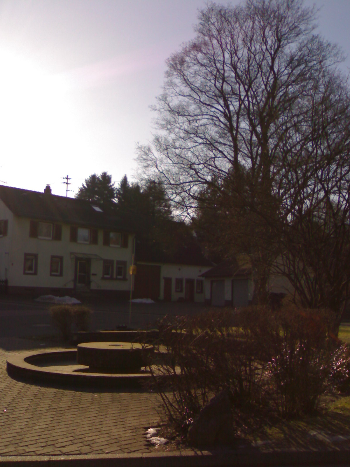
Nature

Photo: --Immanuel Giel 10:15, 2 May 2008 (UTC) · Public domain · Wikimedia CommonsReport this photo · linked, not stored
Schwarzbach, Rheinland-Pfalz
River


Mountains

Photo: The original uploader was Kolling at German Wikipedia. · CC BY-SA 2.0 · Wikimedia CommonsReport this photo · linked, not stored
Donnersberg
686 m · North Palatine Uplands


Heritage



Satellite: Sentinel-2 cloudless 2016 by EOX IT Services GmbH · CC BY 4.0 · Contains modified Copernicus Sentinel data 2016
Schloss Aschbacherhof
Kulturdenkmal
Museums


Photo: The original uploader was T-fisch at German Wikipedia. · CC BY-SA 2.0 de · Wikimedia CommonsReport this photo · linked, not stored
Sculpture park of Technische Universität Kaiserslautern
Sculpture garden


