
Photo: Laserlicht · CC BY-SA 4.0 · Wikimedia Commons
BierkellerReport this photo · linked, not stored
BierkellerReport this photo · linked, not stored

Photo: Laserlicht · CC BY-SA 4.0 · Wikimedia Commons
Pfarrhaus, RommelshausenReport this photo · linked, not stored
Pfarrhaus, RommelshausenPfarrhaus, RommelshausenReport this photo · linked, not stored
 Yburg

Photo: Michael H. („Laserlicht“) · CC BY-SA 4.0 · Wikimedia Commons
Saint Vitus Church, RommelshausenReport this photo · linked, not stored
Saint Vitus Church, RommelshausenSaint Vitus Church, RommelshausenReport this photo · linked, not stored

Photo: Laserlicht · CC BY 3.0 · Wikimedia Commons
Altes Rathaus (Stetten im Remstal)Report this photo · linked, not stored
Altes Rathaus (Stetten im Remstal)Altes Rathaus (Stetten im Remstal)Report this photo · linked, not stored
built structureRommelshausen, Baden-Wurttemberg
Bierkeller
cultural heritage monument in Baden-Württemberg
Typebuilt structure
Built–
Best monthsJun–Jul · Sepweather in Rommelshausen
48.79° N, 9.34° EUTC+2 · Central European Summer Time
When to goRommelshausen · weather score
Best timeJun–Jul · Sep
October: high / low15° / 6°
iAbout
Bierkeller in brief
Bierkeller is a built structure in Rommelshausen, Baden-Wurttemberg, Germany.
It holds the designation cultural heritage monument in Baden-Württemberg.
For a visit, the weather in Rommelshausen is best in June, July and September; in October afternoons average 15°.
Facts
- Type
- built structure
- Designation
- cultural heritage monument in Baden-Württemberg
- Nearest town
- Rommelshausen
- Region
- Baden-Wurttemberg
- Coordinates
- 48.78812, 9.34420
iiLocation
Where to find it
iiiWhen to visit
Climate guideWeather in Rommelshausen
Month score for sightseeing
Best Jun–Jul · Sep18
Jan
26
Feb
31
Mar
61
Apr
62
May
64
Jun
64
Jul
63
Aug
73
Sep
51
Oct
23
Nov
16
Dec
ivNearby
All monuments in GermanyMore heritage close by
Pfarrhaus, Rommelshausen
0.2 km W
cultural heritage monument in Baden-Württemberg
Photo: Michael H. („Laserlicht“) · CC BY-SA 4.0 · Wikimedia CommonsReport this photo · linked, not stored
Saint Vitus Church, Rommelshausen
0.2 km W
Kulturdenkmal


Dorfmühle, Rommelshausen
0.3 km W
cultural heritage monument in Baden-Württemberg
Around here
Rommelshausen and around

Photo: Laserlicht + Matreus + Silesia711 + Jürgen Kehrberger · CC BY-SA 4.0 · Wikimedia CommonsReport this photo · linked, not stored
Rommelshausen
Baden-Wurttemberg · Germany
Jun–Jul · Sepbest months
25°July high
271 maltitude
Nature


Mountains
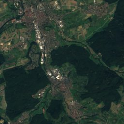
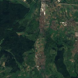
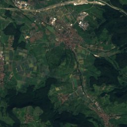
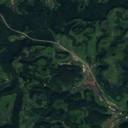
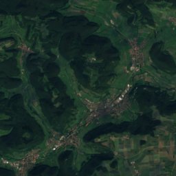
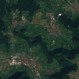
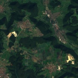
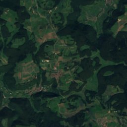
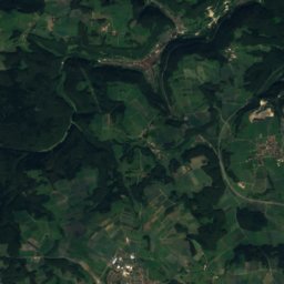
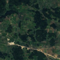
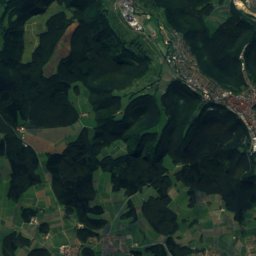
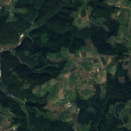
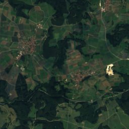
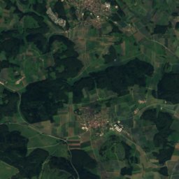
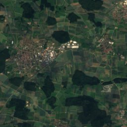
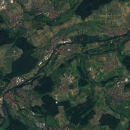
Satellite: Sentinel-2 cloudless 2016 by EOX IT Services GmbH · CC BY 4.0 · Contains modified Copernicus Sentinel data 2016
Römerstein (mountain)
874 m · Swabian Jura

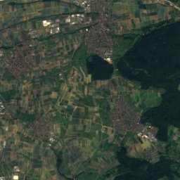
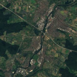
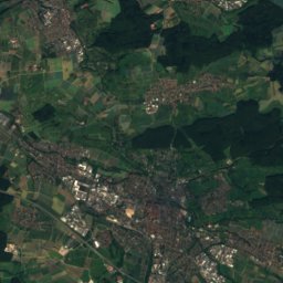
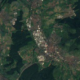
Satellite: Sentinel-2 cloudless 2016 by EOX IT Services GmbH · CC BY 4.0 · Contains modified Copernicus Sentinel data 2016
Breitenstein (Swabian Jura)
811 m · Swabian Jura


