




Satellite: Sentinel-2 cloudless 2016 by EOX IT Services GmbH · CC BY 4.0 · Contains modified Copernicus Sentinel data 2016

Photo: © Raimond Spekking / CC BY-SA 4.0 (via Wikimedia Commons) · CC BY-SA 4.0 · Wikimedia Commons
Schloss WeimarReport this photo · linked, not stored
Schloss WeimarSchloss WeimarReport this photo · linked, not stored
 Burgplatz 1

Photo: © Raimond Spekking / CC BY-SA 4.0 (via Wikimedia Commons) · CC BY-SA 4.0 · Wikimedia Commons
Hauptwache, WeimarReport this photo · linked, not stored
Hauptwache, WeimarHauptwache, WeimarReport this photo · linked, not stored

Photo: Most Curious · CC BY-SA 3.0 · Wikimedia Commons
Gelbes Schloss, WeimarReport this photo · linked, not stored
Gelbes Schloss, WeimarGelbes Schloss, WeimarReport this photo · linked, not stored
cultural heritage ensembleWeimar, Thuringia
Bastille
Heritage monument in Thuringia
Typecultural heritage ensemble
Built–
Best monthsJun · Aug–Sepweather in Weimar
50.98° N, 11.33° EUTC+1 · Central European Standard Time
When to goWeimar · weather score
Best timeJun · Aug–Sep
October: high / low14° / 6°
iAbout
Bastille in brief
Bastille is a cultural heritage ensemble in Weimar, Thuringia, Germany.
It holds the designation Heritage monument in Thuringia.
For a visit, the weather in Weimar is best in June, August and September; in October afternoons average 14°.
iiLocation
Where to find it
ivNearby
All monuments in GermanyMore heritage close by
Photo: © Raimond Spekking / CC BY-SA 4.0 (via Wikimedia Commons) · CC BY-SA 4.0 · Wikimedia CommonsReport this photo · linked, not stored
Schloss Weimar
under 100 m NE
Kulturdenkmal
Photo: © Raimond Spekking / CC BY-SA 4.0 (via Wikimedia Commons) · CC BY-SA 4.0 · Wikimedia CommonsReport this photo · linked, not stored
Hauptwache, Weimar
under 100 m S
Heritage monument in Thuringia


Around here
Weimar and around

Nature


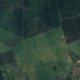
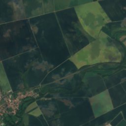
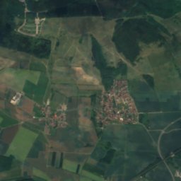
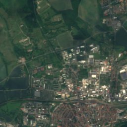
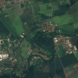
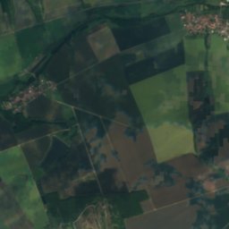
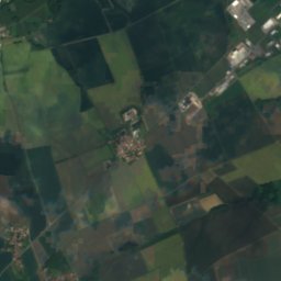
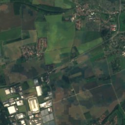
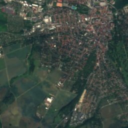
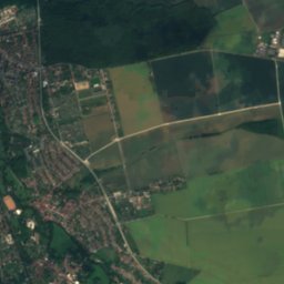
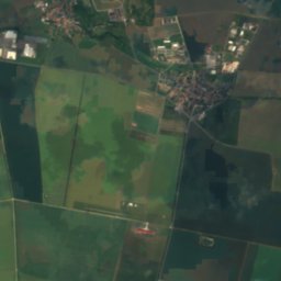
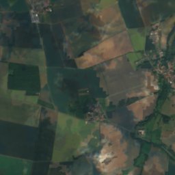
Satellite: Sentinel-2 cloudless 2016 by EOX IT Services GmbH · CC BY 4.0 · Contains modified Copernicus Sentinel data 2016
Vergilgrotte Tiefurt
Cave
Mountains
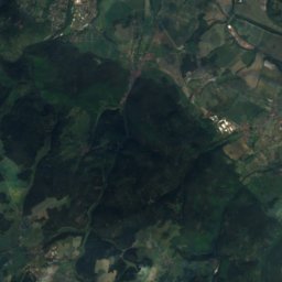
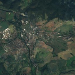
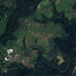
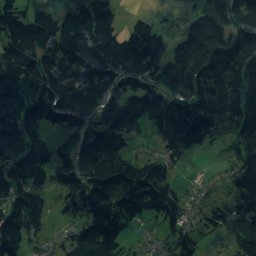
Satellite: Sentinel-2 cloudless 2016 by EOX IT Services GmbH · CC BY 4.0 · Contains modified Copernicus Sentinel data 2016
Zipptannskuppe
657 m · Thuringian Highland

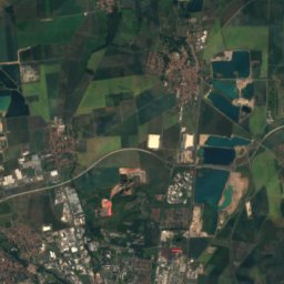
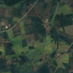
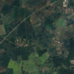
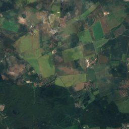
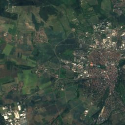
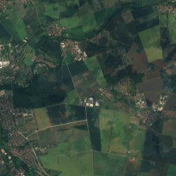
Satellite: Sentinel-2 cloudless 2016 by EOX IT Services GmbH · CC BY 4.0 · Contains modified Copernicus Sentinel data 2016
Großer Ettersberg
482 m · Ettersberg
Heritage

Photo: © Raimond Spekking / CC BY-SA 4.0 (via Wikimedia Commons) · CC BY-SA 4.0 · Wikimedia CommonsReport this photo · linked, not stored
Haus am Horn
part of UNESCO World Heritage Site


Museums

Photo: © Steffen Schmitz (Carschten) / Wikimedia Commons / CC BY-SA 4.0 · CC BY-SA 4.0 · Wikimedia CommonsReport this photo · linked, not stored
Bauhaus Museum, Weimar
Art museum · 1995

Photo: DWRZ David Wen Riccardi-Zhu · CC BY 2.5 · Wikimedia CommonsReport this photo · linked, not stored
Nietzsche Archive
1894


