
Photo: Tilman2007 · CC BY-SA 3.0 · Wikimedia Commons
Ansbach SynagogueReport this photo · linked, not stored
Ansbach SynagogueReport this photo · linked, not stored

Photo: Tilman2007 · CC BY-SA 4.0 · Wikimedia Commons
Herrieder Tor (Ansbach)Report this photo · linked, not stored
Herrieder Tor (Ansbach)Herrieder Tor (Ansbach)Report this photo · linked, not stored

Photo: Alexander Rahm · CC BY-SA 4.0 · Wikimedia Commons
Rathaus AnsbachReport this photo · linked, not stored
Rathaus AnsbachRathaus AnsbachReport this photo · linked, not stored

Photo: Tilman2007 · CC BY-SA 4.0 · Wikimedia Commons
St. Johannis, AnsbachReport this photo · linked, not stored
St. Johannis, AnsbachSt. Johannis, AnsbachReport this photo · linked, not stored

Photo: Tilman2007 · CC BY-SA 4.0 · Wikimedia Commons
St. Gumbertus, AnsbachReport this photo · linked, not stored
St. Gumbertus, AnsbachSt. Gumbertus, AnsbachReport this photo · linked, not stored
Jewish museumAnsbach, Bavaria
Ansbach Synagogue
architectural heritage monument in BavariaBuilt 1746
TypeJewish museumbaroque
Built1746by Leopold Retti
Best monthsJun · Aug–Sepweather in Ansbach
49.30° N, 10.57° EUTC+1 · Central European Standard Time
Standing for280 years
built 1746today 2026
When to goAnsbach · weather score
Best timeJun · Aug–Sep
October: high / low14° / 5°
iAbout
Ansbach Synagogue in brief
Ansbach Synagogue is a jewish museum in Ansbach, Bavaria, Germany.
It holds the designation architectural heritage monument in Bavaria.
The jewish museum dates from 1746, was designed by Leopold Retti and is built in the baroque style.
For a visit, the weather in Ansbach is best in June, August and September; in October afternoons average 14°.
iiLocation
Where to find it
ivNearby
All monuments in GermanyMore heritage close by
Herrieder Tor (Ansbach)
under 100 m SE
architectural heritage monument in Bavaria


Photo: Ansbach,_St._Ludwig-001.jpg: Tilman2007 derivative work: Rabanus Flavus · CC BY-SA 3.0 · Wikimedia CommonsReport this photo · linked, not stored
St. Ludwig, Ansbach
0.4 km SE
architectural heritage monument in Bavaria
Around here
Ansbach and around

Nature

Photo: Ulrich Rahm (1972-1993), uploaded by: Moros · Public domain · Wikimedia CommonsReport this photo · linked, not stored
Aurach (Rednitz)
River · 328 m
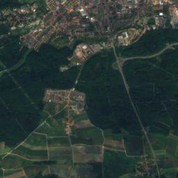
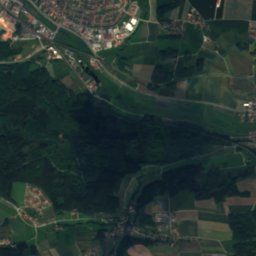
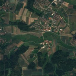
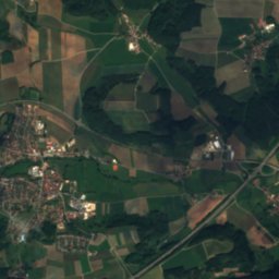
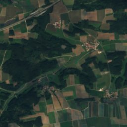
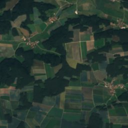
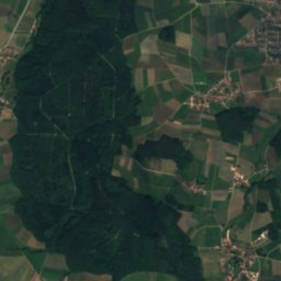
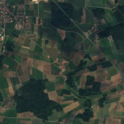
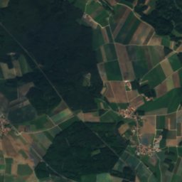
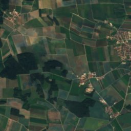
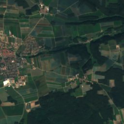
Satellite: Sentinel-2 cloudless 2016 by EOX IT Services GmbH · CC BY 4.0 · Contains modified Copernicus Sentinel data 2016
Zandtbach
River
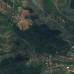
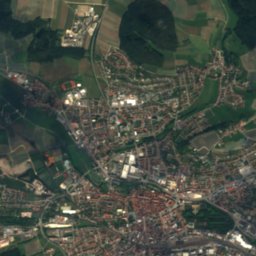
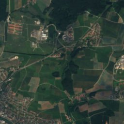
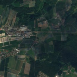
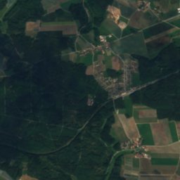
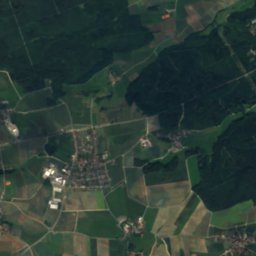
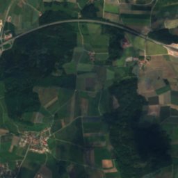
Satellite: Sentinel-2 cloudless 2016 by EOX IT Services GmbH · CC BY 4.0 · Contains modified Copernicus Sentinel data 2016
Silberbach (Franconian Rezat)
River
Mountains

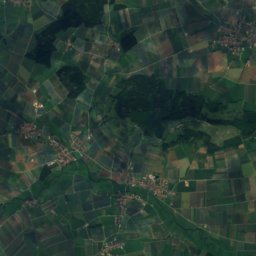
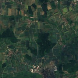
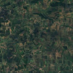

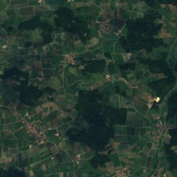

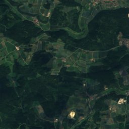
Satellite: Sentinel-2 cloudless 2016 by EOX IT Services GmbH · CC BY 4.0 · Contains modified Copernicus Sentinel data 2016
Efferaberg
645 m · Hahnenkamm
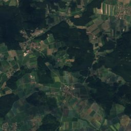
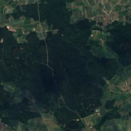


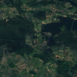
Satellite: Sentinel-2 cloudless 2016 by EOX IT Services GmbH · CC BY 4.0 · Contains modified Copernicus Sentinel data 2016
Spielberg, Bavaria
645 m · Hahnenkamm
Heritage

St. Lambertus, Ansbach
architectural heritage monument in Bavaria · 1750

Bismarck Tower, Hennenbach
architectural heritage monument in Bavaria · 1903
Photo: Ansbach,_St._Ludwig-001.jpg: Tilman2007 derivative work: Rabanus Flavus · CC BY-SA 3.0 · Wikimedia CommonsReport this photo · linked, not stored
St. Ludwig, Ansbach
architectural heritage monument in Bavaria
Museums





Satellite: Sentinel-2 cloudless 2016 by EOX IT Services GmbH · CC BY 4.0 · Contains modified Copernicus Sentinel data 2016
Markgrafenmuseum
1932