
Photo: Michael Sander · CC BY-SA 3.0 · Wikimedia Commons
Anger 57Report this photo · linked, not stored
Anger 57Report this photo · linked, not stored

Photo: Michael Sander · CC BY-SA 3.0 · Wikimedia Commons
BartholomäusturmReport this photo · linked, not stored
BartholomäusturmBartholomäusturmReport this photo · linked, not stored

Photo: Bärwinkel,Klaus · CC BY-SA 4.0 · Wikimedia Commons
St. Lorenz (Erfurt)Report this photo · linked, not stored
St. Lorenz (Erfurt)St. Lorenz (Erfurt)Report this photo · linked, not stored

Photo: Cmcmcm1 · CC BY-SA 4.0 · Wikimedia Commons
Reglerkirche (Erfurt)Report this photo · linked, not stored
Reglerkirche (Erfurt)Reglerkirche (Erfurt)Report this photo · linked, not stored

Photo: Tilman2007 · CC BY-SA 4.0 · Wikimedia Commons
Haus DacherödenReport this photo · linked, not stored
Haus DacherödenHaus DacherödenReport this photo · linked, not stored
residential and commercialErfurt, Thuringia
Anger 57
Heritage monument in ThuringiaBuilt 1898
Typeresidential and commercial
Built1898
Best monthsJun · Aug–Sepweather in Erfurt
50.98° N, 11.03° EUTC+1 · Central European Standard Time
Standing for128 years
built 1898today 2026
When to goErfurt · weather score
Best timeJun · Aug–Sep
October: high / low14° / 6°
iAbout
Anger 57 in brief
Anger 57 is a residential and commercial in Erfurt, Thuringia, Germany.
It holds the designation Heritage monument in Thuringia.
The residential and commercial dates from 1898.
For a visit, the weather in Erfurt is best in June, August and September; in October afternoons average 14°.
iiLocation
Where to find it
ivNearby
All monuments in GermanyMore heritage close by






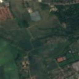


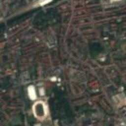
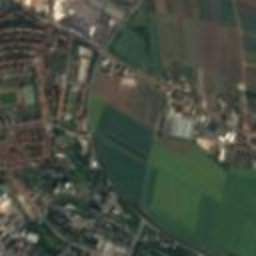
Satellite: Sentinel-2 cloudless 2016 by EOX IT Services GmbH · CC BY 4.0 · Contains modified Copernicus Sentinel data 2016
Hauptpostamt Erfurt
0.2 km N
Heritage monument in Thuringia
Satellite: Sentinel-2 cloudless 2016 by EOX IT Services GmbH · CC BY 4.0 · Contains modified Copernicus Sentinel data 2016
Wigbertikirche
0.2 km W
Heritage monument in Thuringia
Around here
Erfurt and around

Nature


Mountains
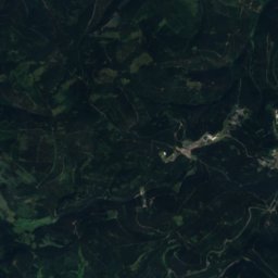
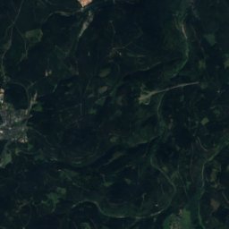
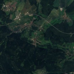
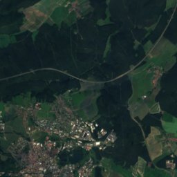

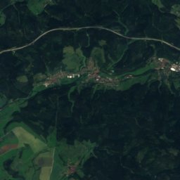
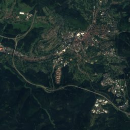
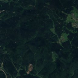
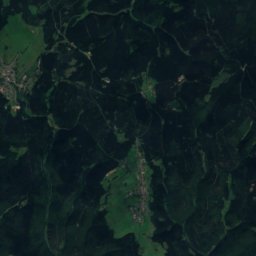
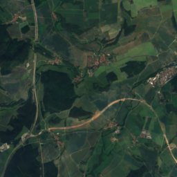
Satellite: Sentinel-2 cloudless 2016 by EOX IT Services GmbH · CC BY 4.0 · Contains modified Copernicus Sentinel data 2016
Sachsenstein
915 m · Thuringian Forest

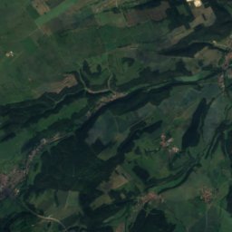
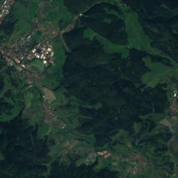
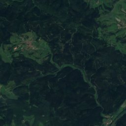
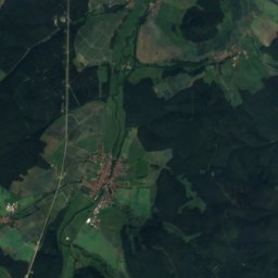
Satellite: Sentinel-2 cloudless 2016 by EOX IT Services GmbH · CC BY 4.0 · Contains modified Copernicus Sentinel data 2016
Pfanntalskopf
868 m · Thuringian Forest
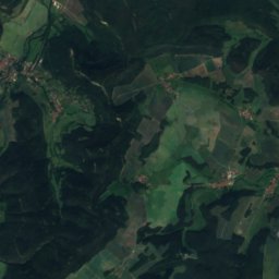
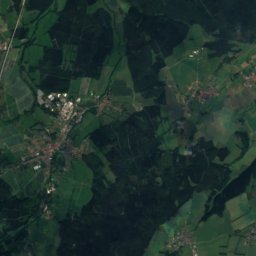
Satellite: Sentinel-2 cloudless 2016 by EOX IT Services GmbH · CC BY 4.0 · Contains modified Copernicus Sentinel data 2016
Kickelhahn
861 m · Thuringian Forest
Heritage

Photo: © Heinrich Stürzl / Wikimedia Commons · CC BY-SA 4.0 · Wikimedia CommonsReport this photo · linked, not stored
Old Synagogue (Erfurt)
Tentative World Heritage Site · 1094


