Skip to content
Destinations
Weather & climate
Nature
Outdoors
Culture
Events
Sky & live
Altmarkt 21
Photo: Olaf Meister · CC BY-SA 4.0 · Wikimedia Commons
Altmarkt 21Report this photo · linked, not stored
underground area Zeitz
Photo: Olaf Meister · CC BY-SA 4.0 · Wikimedia Commons
underground area ZeitzReport this photo · linked, not stored
underground area Zeitz
Town hall in Zeitz
Photo: Tilman2007 · CC BY-SA 4.0 · Wikimedia Commons
Town hall in ZeitzReport this photo · linked, not stored
Town hall in Zeitz
Protestant Church (Zeitz)
Photo: I, Michael Sander · CC BY-SA 3.0 · Wikimedia Commons
Protestant Church (Zeitz)Report this photo · linked, not stored
Protestant Church (Zeitz)
Franziskaner-Klosterkirche, Zeitz
Photo: Berthold Werner · CC BY-SA 3.0 · Wikimedia Commons
Franziskaner-Klosterkirche, ZeitzReport this photo · linked, not stored
Franziskaner-Klosterkirche, Zeitz
built structureZeitz, Saxony-Anhalt

Altmarkt 21

heritage monument in Saxony-Anhalt
Typebuilt structure
Built–
Best monthsMay · Aug–Sepweather in Zeitz
51.05° N, 12.13° EUTC+2 · Central European Summer Time
When to goZeitz · weather score
JanFebMarAprMayJunJulAugSepOctNovDec49October
Best timeMay · Aug–Sep
October: high / low14° / 6°
iAbout

Altmarkt 21 in brief

Altmarkt 21 is a built structure in Zeitz, Saxony-Anhalt, Germany.

It holds the designation heritage monument in Saxony-Anhalt.

For a visit, the weather in Zeitz is best in May, August and September; in October afternoons average 14°.

Zeitz: weather and travel guide

Facts

Type
built structure
Designation
heritage monument in Saxony-Anhalt
Nearest town
Zeitz
Region
Saxony-Anhalt
Coordinates
51.04968, 12.13475
iiLocation

Where to find it

iiiWhen to visit

Weather in Zeitz

Climate guide

Month score for sightseeing

Best May · Aug–Sep
18
Jan
26
Feb
25
Mar
60
Apr
69
May
69
Jun
64
Jul
70
Aug
73
Sep
49
Oct
22
Nov
17
Dec
ivNearby

More heritage close by

All monuments in Germany
underground area Zeitz
Photo: Olaf Meister · CC BY-SA 4.0 · Wikimedia CommonsReport this photo · linked, not stored

underground area Zeitz

under 100 m SW
heritage monument in Saxony-Anhalt
underground area Zeitz
Town hall in Zeitz
Photo: Tilman2007 · CC BY-SA 4.0 · Wikimedia CommonsReport this photo · linked, not stored

Town hall in Zeitz

under 100 m S
heritage monument in Saxony-Anhalt
Town hall in Zeitz
Protestant Church (Zeitz)
Photo: I, Michael Sander · CC BY-SA 3.0 · Wikimedia CommonsReport this photo · linked, not stored

Protestant Church (Zeitz)

0.1 km N
heritage monument in Saxony-Anhalt
Protestant Church (Zeitz)
Franziskaner-Klosterkirche, Zeitz
Photo: Berthold Werner · CC BY-SA 3.0 · Wikimedia CommonsReport this photo · linked, not stored

Franziskaner-Klosterkirche, Zeitz

0.1 km NW
heritage monument in Saxony-Anhalt
Franziskaner-Klosterkirche, Zeitz
City walls of Zeitz
Photo: Cookroach · CC BY-SA 4.0 · Wikimedia CommonsReport this photo · linked, not stored

City walls of Zeitz

0.2 km S
heritage monument in Saxony-Anhalt
City walls of Zeitz
St. Nicolai, Zeitz
Photo: Jwaller · CC BY-SA 3.0 · Wikimedia CommonsReport this photo · linked, not stored

St. Nicolai, Zeitz

0.5 km NW
Kulturdenkmal
St. Nicolai, Zeitz
Around here

Zeitz and around

Zeitz
Photo: Uwe Rieschel · CC BY-SA 4.0 · Wikimedia CommonsReport this photo · linked, not stored

Zeitz

Saxony-Anhalt · Germany
May · Aug–Sepbest months
25°July high
191 maltitude
Zeitz

Nature

lake Penkwitz
Photo: Tnemtsoni · CC BY-SA 3.0 · Wikimedia CommonsReport this photo · linked, not stored
9.3 km E

lake Penkwitz

Lake · 183 m
lake Penkwitz
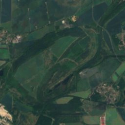
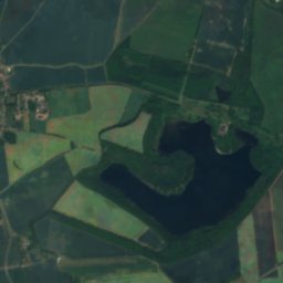
north and east coast of lake Penkwitz
Photo: Jwaller · CC BY-SA 4.0 · Wikimedia CommonsReport this photo · linked, not stored
9.4 km E

north and east coast of lake Penkwitz

Lake
north and east coast of lake Penkwitz
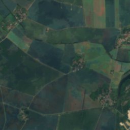
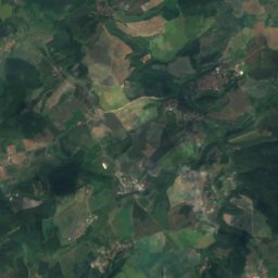
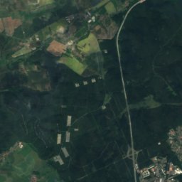
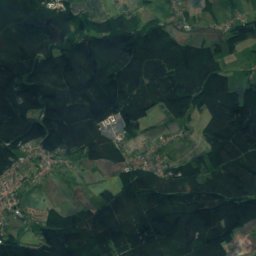
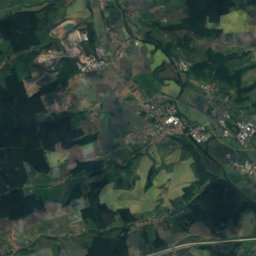
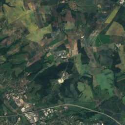
Satellite: Sentinel-2 cloudless 2016 by EOX IT Services GmbH · CC BY 4.0 · Contains modified Copernicus Sentinel data 2016
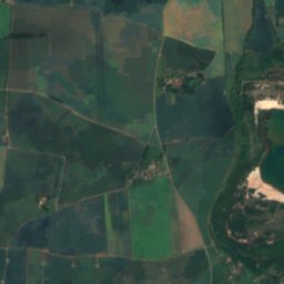
7.1 km E

Förstersee, Saxony-Anhalt

Lake
Förstersee, Saxony-Anhalt

Mountains

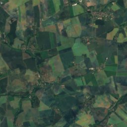
Satellite: Sentinel-2 cloudless 2016 by EOX IT Services GmbH · CC BY 4.0 · Contains modified Copernicus Sentinel data 2016
35 km W

Aschberg

374 m · Jenaer Scholle
Aschberg
Schmirchauer Höhe
Photo: Markscheider · CC BY-SA 4.0 · Wikimedia CommonsReport this photo · linked, not stored
23 km S

Schmirchauer Höhe

373 m · Ronneburg agricultural and mining area
Schmirchauer Höhe
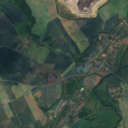
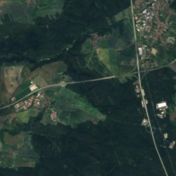
Satellite: Sentinel-2 cloudless 2016 by EOX IT Services GmbH · CC BY 4.0 · Contains modified Copernicus Sentinel data 2016
24 km S

Zoitzberg

285 m · Ronneburg agricultural and mining area
Zoitzberg

Heritage

Zeitz Cathedral St. Peter and Paul
Photo: Lucas Friese · CC BY-SA 3.0 · Wikimedia CommonsReport this photo · linked, not stored
0.7 km W

Zeitz Cathedral St. Peter and Paul

heritage monument in Saxony-Anhalt · 1100
Zeitz Cathedral St. Peter and Paul
Town hall in Zeitz
Photo: Tilman2007 · CC BY-SA 4.0 · Wikimedia CommonsReport this photo · linked, not stored
0.2 km SW

Town hall in Zeitz

heritage monument in Saxony-Anhalt · 1509
Town hall in Zeitz
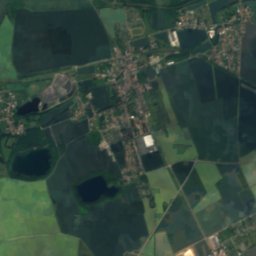
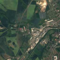
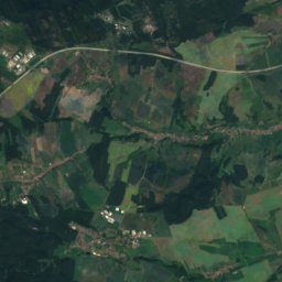
Satellite: Sentinel-2 cloudless 2016 by EOX IT Services GmbH · CC BY 4.0 · Contains modified Copernicus Sentinel data 2016
0.7 km W

Schloss Moritzburg (Zeitz)

Kulturdenkmal
Schloss Moritzburg (Zeitz)

Museums

Museum Moritzburg Castle Zeitz
Photo: Dr. Bernd Gross · CC BY-SA 4.0 · Wikimedia CommonsReport this photo · linked, not stored
0.6 km W

Museum Moritzburg Castle Zeitz

Museum Moritzburg Castle Zeitz
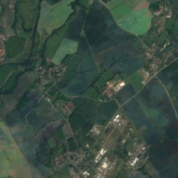
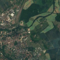
Satellite: Sentinel-2 cloudless 2016 by EOX IT Services GmbH · CC BY 4.0 · Contains modified Copernicus Sentinel data 2016
1.3 km NW

Brikettfabrik Herrmannschacht Zeitz

Brikettfabrik Herrmannschacht Zeitz
Meuselwitz Local History Museum
Photo: Michael Sander · CC BY-SA 3.0 · Wikimedia CommonsReport this photo · linked, not stored
11 km E

Meuselwitz Local History Museum

Local museum · 1996
Meuselwitz Local History Museum