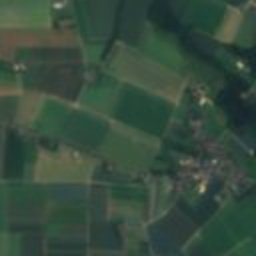
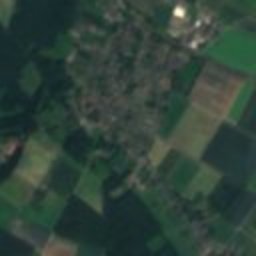
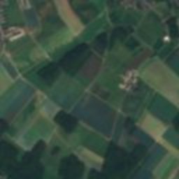
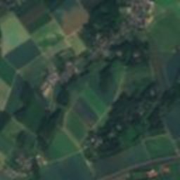
Satellite: Sentinel-2 cloudless 2016 by EOX IT Services GmbH · CC BY 4.0 · Contains modified Copernicus Sentinel data 2016

Photo: Kurwal · CC BY-SA 4.0 · Wikimedia Commons
Jüdischer Friedhof DülkenReport this photo · linked, not stored
Jüdischer Friedhof DülkenJüdischer Friedhof DülkenReport this photo · linked, not stored

Photo: ich · Public domain · Wikimedia Commons
St. Mary Helper of the ChristiansReport this photo · linked, not stored
St. Mary Helper of the ChristiansSt. Mary Helper of the ChristiansReport this photo · linked, not stored
water towerDülken, North Rhine-Westphalia
Alter Wasserturm Dülken
Kulturdenkmal
Typewater tower
Built–
Best monthsMay · Aug–Sepweather in Dülken
51.26° N, 6.33° EUTC+1 · Central European Standard Time
When to goDülken · weather score
Best timeMay · Aug–Sep
October: high / low15° / 8°
iAbout
Alter Wasserturm Dülken in brief
Alter Wasserturm Dülken is a water tower in Dülken, North Rhine-Westphalia, Germany.
It holds the designation Kulturdenkmal.
For a visit, the weather in Dülken is best in May, August and September; in October afternoons average 15°.
Facts
- Type
- water tower
- Designation
- Kulturdenkmal
- Nearest town
- Dülken
- Region
- North Rhine-Westphalia
- Coordinates
- 51.25507, 6.32924
iiLocation
Where to find it
iiiWhen to visit
Climate guideWeather in Dülken
Month score for sightseeing
Best May · Aug–Sep15
Jan
19
Feb
25
Mar
59
Apr
65
May
63
Jun
64
Jul
65
Aug
68
Sep
49
Oct
16
Nov
15
Dec
ivNearby
All monuments in GermanyMore heritage close by
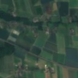
Jüdischer Friedhof Dülken
1.1 km E
architectural heritage monument in North Rhine-Westphalia
Satellite: Sentinel-2 cloudless 2016 by EOX IT Services GmbH · CC BY 4.0 · Contains modified Copernicus Sentinel data 2016
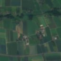
Bismarck Tower, Dülken
3.0 km E
architectural heritage monument in North Rhine-Westphalia
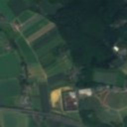
St. Mary Helper of the Christians
3.8 km N
cultural heritage monument in North Rhine-Westphalia
Satellite: Sentinel-2 cloudless 2016 by EOX IT Services GmbH · CC BY 4.0 · Contains modified Copernicus Sentinel data 2016
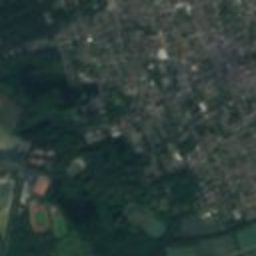
St. Peter, Dülken
4.1 km SE
Kulturdenkmal
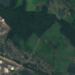
Satellite: Sentinel-2 cloudless 2016 by EOX IT Services GmbH · CC BY 4.0 · Contains modified Copernicus Sentinel data 2016
St. Remigius (Viersen)
4.1 km E
architectural heritage monument in North Rhine-Westphalia
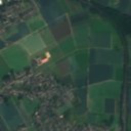
Satellite: Sentinel-2 cloudless 2016 by EOX IT Services GmbH · CC BY 4.0 · Contains modified Copernicus Sentinel data 2016
Festhalle Viersen
4.3 km E
architectural heritage monument in North Rhine-Westphalia
Around here
Dülken and around

Photo: Stefan Flöper / Wikimedia Commons · CC BY-SA 4.0 · Wikimedia CommonsReport this photo · linked, not stored
Dülken
North Rhine-Westphalia · Germany
May · Aug–Sepbest months
24°July high
63 maltitude
Nature
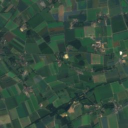
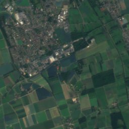
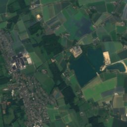
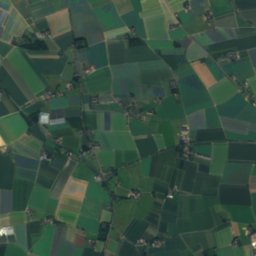
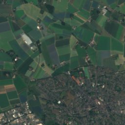
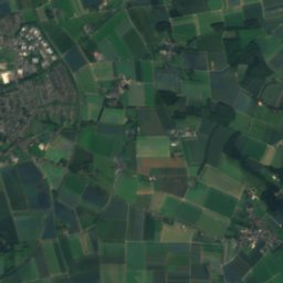
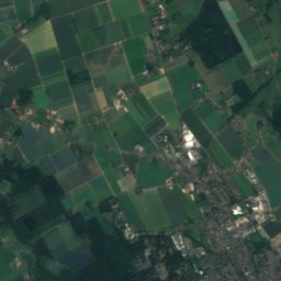
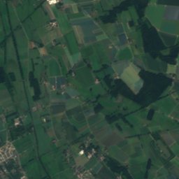
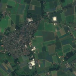
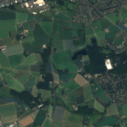
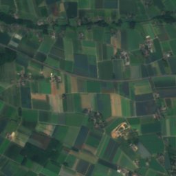
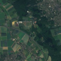
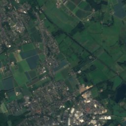
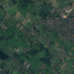
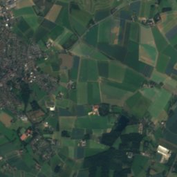
Satellite: Sentinel-2 cloudless 2016 by EOX IT Services GmbH · CC BY 4.0 · Contains modified Copernicus Sentinel data 2016
Willicher Fleuth
River
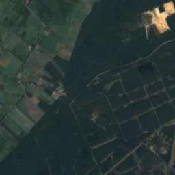
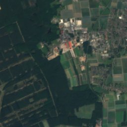
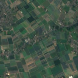
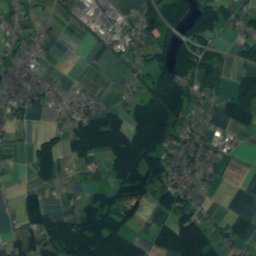
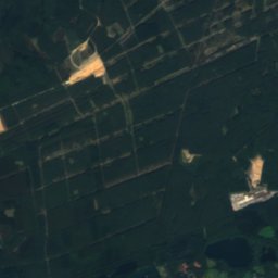
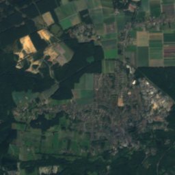
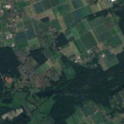
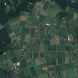
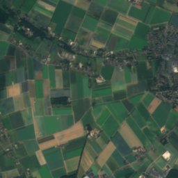
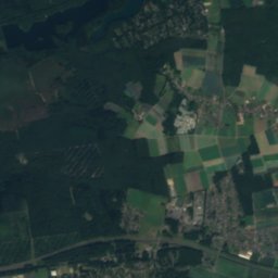
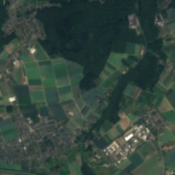
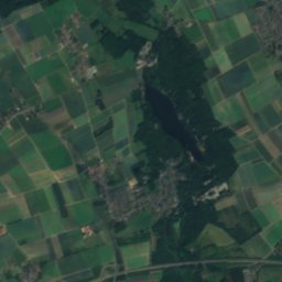
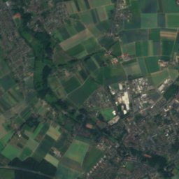
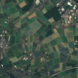
Satellite: Sentinel-2 cloudless 2016 by EOX IT Services GmbH · CC BY 4.0 · Contains modified Copernicus Sentinel data 2016
Hariksee
Lake · 45 m
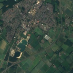
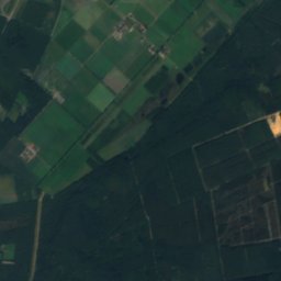
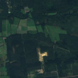
Satellite: Sentinel-2 cloudless 2016 by EOX IT Services GmbH · CC BY 4.0 · Contains modified Copernicus Sentinel data 2016
Kranenbach
River
Mountains

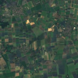
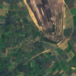
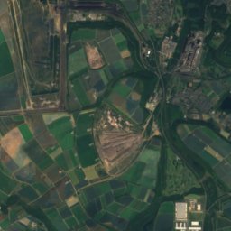
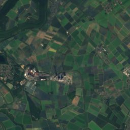
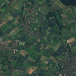
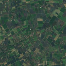
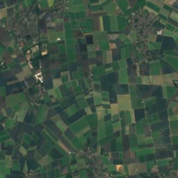
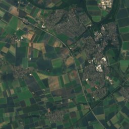
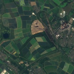
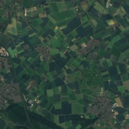
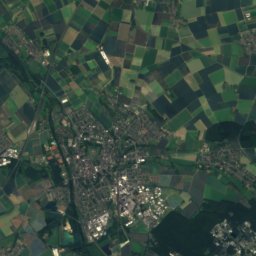
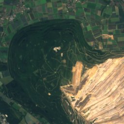
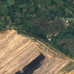
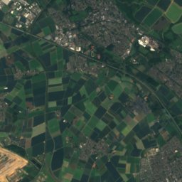
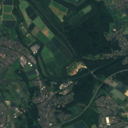
Satellite: Sentinel-2 cloudless 2016 by EOX IT Services GmbH · CC BY 4.0 · Contains modified Copernicus Sentinel data 2016
Wiedenfelder Höhe
126 m · Ville

Heritage

Satellite: Sentinel-2 cloudless 2016 by EOX IT Services GmbH · CC BY 4.0 · Contains modified Copernicus Sentinel data 2016
Bismarck Tower, Dülken
architectural heritage monument in North Rhine-Westphalia
Jüdischer Friedhof Dülken
architectural heritage monument in North Rhine-Westphalia

Schloss Rheydt
architectural heritage monument in North Rhine-Westphalia · 1180
Museums




Satellite: Sentinel-2 cloudless 2016 by EOX IT Services GmbH · CC BY 4.0 · Contains modified Copernicus Sentinel data 2016
Abteiberg Museum
Sculpture garden · 1902