
Photo: Yasuhiro Kojima · CC BY-SA 4.0 · Wikimedia Commons
ცხემლარას ხიდიReport this photo · linked, not stored
ცხემლარას ხიდიReport this photo · linked, not stored
cultural propertyKeda, Adjara
ცხემლარას ხიდი
Cultural Monuments of National Importance of Georgia
Typecultural property
Built–
Best monthsMay · Sep–Octweather in Keda
41.51° N, 41.82° EUTC+4 · Georgia Standard Time
When to goKeda · weather score
Best timeMay · Sep–Oct
October: high / low22° / 11°
iAbout
ცხემლარას ხიდი in brief
ცხემლარას ხიდი is a cultural property in Keda, Adjara, Georgia.
It holds the designation Cultural Monuments of National Importance of Georgia.
For a visit, the weather in Keda is best in May, September and October; in October afternoons average 22°.
iiLocation
Where to find it
iiiWhen to visit
Climate guideWeather in Keda
Month score for sightseeing
Best May · Sep–Oct17
Jan
22
Feb
34
Mar
60
Apr
65
May
62
Jun
51
Jul
49
Aug
66
Sep
68
Oct
54
Nov
25
Dec
Around here
Keda and around

Nature

Satellite: Sentinel-2 cloudless 2016 by EOX IT Services GmbH · CC BY 4.0 · Contains modified Copernicus Sentinel data 2016
Maral Waterfall
Waterfall

Mountains
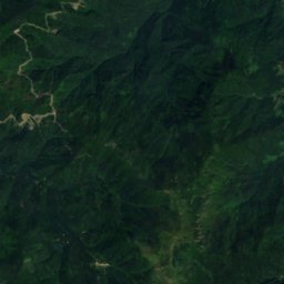
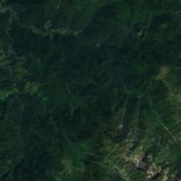
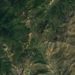
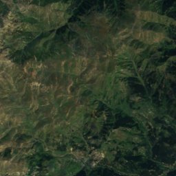
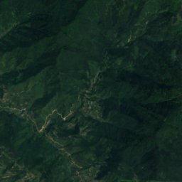
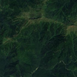
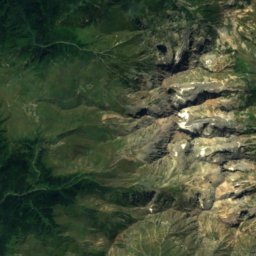
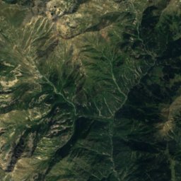
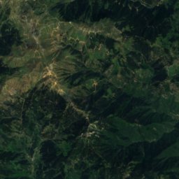
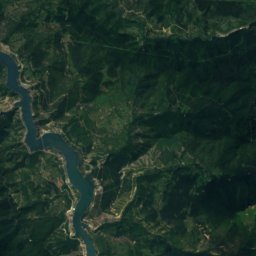
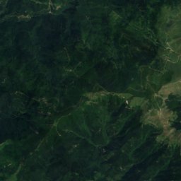
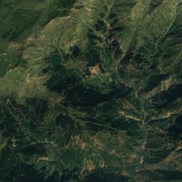
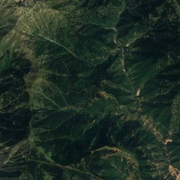
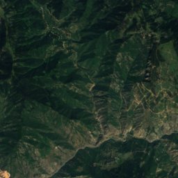
Satellite: Sentinel-2 cloudless 2016 by EOX IT Services GmbH · CC BY 4.0 · Contains modified Copernicus Sentinel data 2016
Dibube Mountain
3,300 m


Heritage








Satellite: Sentinel-2 cloudless 2016 by EOX IT Services GmbH · CC BY 4.0 · Contains modified Copernicus Sentinel data 2016
Mtirala National Park
part of UNESCO World Heritage Site · 2006














Satellite: Sentinel-2 cloudless 2016 by EOX IT Services GmbH · CC BY 4.0 · Contains modified Copernicus Sentinel data 2016
Colchic Rainforests and Wetlands
World Heritage Site