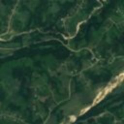
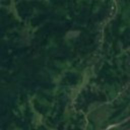
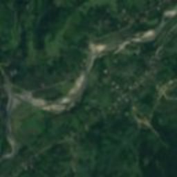
Satellite: Sentinel-2 cloudless 2016 by EOX IT Services GmbH · CC BY 4.0 · Contains modified Copernicus Sentinel data 2016
cultural propertyChkhorotsqu, Samegrelo and Zemo Svaneti
ნოღას ციხის II კოშკი
Cultural heritage in Georgia
Typecultural property
Built–
Best monthsSep–Novweather in Chkhorotsqu
42.48° N, 42.21° EUTC+4 · Georgia Standard Time
When to goChkhorotsqu · weather score
Best timeSep–Nov
October: high / low23° / 11°
iAbout
ნოღას ციხის II კოშკი in brief
ნოღას ციხის II კოშკი is a cultural property in Chkhorotsqu, Samegrelo and Zemo Svaneti, Georgia.
It holds the designation Cultural heritage in Georgia.
For a visit, the weather in Chkhorotsqu is best in September, October and November; in October afternoons average 23°.
Facts
- Type
- cultural property
- Designation
- Cultural heritage in Georgia
- Nearest town
- Chkhorotsqu
- Region
- Samegrelo and Zemo Svaneti
- Coordinates
- 42.48500, 42.21389
iiLocation
Where to find it
iiiWhen to visit
Climate guideWeather in Chkhorotsqu
Month score for sightseeing
Best Sep–Nov19
Jan
24
Feb
42
Mar
60
Apr
62
May
53
Jun
49
Jul
60
Aug
63
Sep
68
Oct
64
Nov
37
Dec
Around here
Chkhorotsqu and around
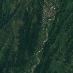
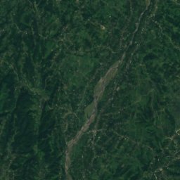
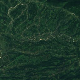
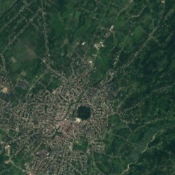
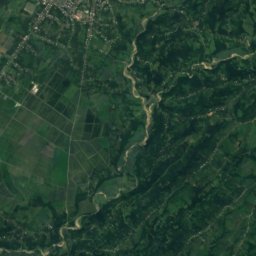
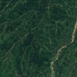
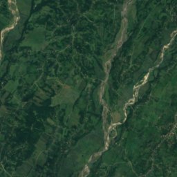
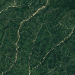
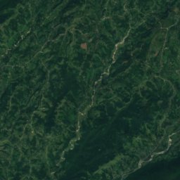
Satellite: Sentinel-2 cloudless 2016 by EOX IT Services GmbH · CC BY 4.0 · Contains modified Copernicus Sentinel data 2016
Chkhorotsqu
Samegrelo and Zemo Svaneti · Georgia
Sep–Novbest months
30°July high
154 maltitude
Nature


Mountains
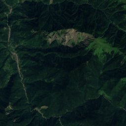
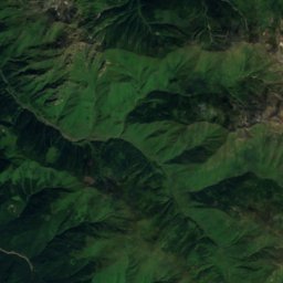
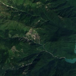
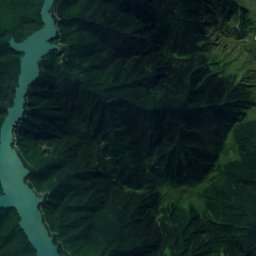
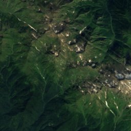
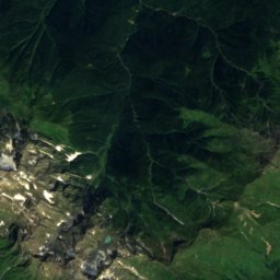
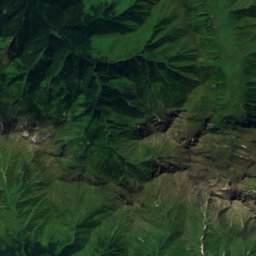
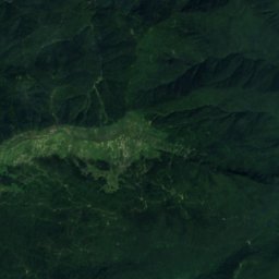
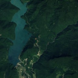
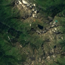
Satellite: Sentinel-2 cloudless 2016 by EOX IT Services GmbH · CC BY 4.0 · Contains modified Copernicus Sentinel data 2016
Chitagvalashi
3,226 m · Egrisi Range
Satellite: Sentinel-2 cloudless 2016 by EOX IT Services GmbH · CC BY 4.0 · Contains modified Copernicus Sentinel data 2016
Didghalidudi
3,169 m · Egrisi Range
Satellite: Sentinel-2 cloudless 2016 by EOX IT Services GmbH · CC BY 4.0 · Contains modified Copernicus Sentinel data 2016
Lakumurashdudi
3,111 m · Egrisi Range
Heritage

Tsalenjikha Cathedral
Cultural Monuments of National Importance of Georgia · 1301

Satellite: Sentinel-2 cloudless 2016 by EOX IT Services GmbH · CC BY 4.0 · Contains modified Copernicus Sentinel data 2016
Chakvinji Fortress
Cultural Monuments of National Importance of Georgia
Museums



Satellite: Sentinel-2 cloudless 2016 by EOX IT Services GmbH · CC BY 4.0 · Contains modified Copernicus Sentinel data 2016
Lasha Gakharia House Museum
Historic house museum