
Photo: M.Minderhoud 7 michiel1972 · CC BY-SA 3.0 · Wikimedia Commons
Die CathedralReport this photo · linked, not stored
Die CathedralReport this photo · linked, not stored

Photo: PhLabor · CC BY-SA 3.0 · Wikimedia Commons
Temple protestant de DieReport this photo · linked, not stored
Temple protestant de DieTemple protestant de DieReport this photo · linked, not stored

Photo: Celeda · CC BY-SA 4.0 · Wikimedia Commons
Remparts de DieReport this photo · linked, not stored
Remparts de DieRemparts de DieReport this photo · linked, not stored

Photo: Fabien Bièvre-Perrin / Musée de Die (détourage par Apolline Troyes) · CC BY-SA 4.0 · Wikimedia Commons
Altars for bull offersReport this photo · linked, not stored
Altars for bull offersAltars for bull offersReport this photo · linked, not stored

Photo: GLMX · CC BY-SA 3.0 · Wikimedia Commons
Abbaye de ValcroissantReport this photo · linked, not stored
Abbaye de ValcroissantAbbaye de ValcroissantReport this photo · linked, not stored
cathedralDie, Auvergne-Rhône-Alpes
Die Cathedral
classified historical monument
TypecathedralRomanesque
Built–
Best monthsApr · Sep–Octweather in Die
44.75° N, 5.37° EUTC+2 · Central European Summer Time
When to goDie · weather score
Best timeApr · Sep–Oct
October: high / low19° / 8°
iAbout
Die Cathedral in brief
Die Cathedral is a cathedral in Die, Auvergne-Rhône-Alpes, France.
It holds the designation classified historical monument.
The cathedral is built in the Romanesque style.
For a visit, the weather in Die is best in April, September and October; in October afternoons average 19°.
Facts
- Type
- cathedral
- Designation
- classified historical monument
- Style
- Romanesque
- Nearest town
- Die
- Region
- Auvergne-Rhône-Alpes
- Coordinates
- 44.75222, 5.37111
iiLocation
Where to find it
iiiWhen to visit
Climate guideWeather in Die
Month score for sightseeing
Best Apr · Sep–Oct28
Jan
32
Feb
50
Mar
69
Apr
65
May
69
Jun
62
Jul
64
Aug
78
Sep
72
Oct
36
Nov
25
Dec
ivNearby
All monuments in FranceMore heritage close by
Photo: Fabien Bièvre-Perrin / Musée de Die (détourage par Apolline Troyes) · CC BY-SA 4.0 · Wikimedia CommonsReport this photo · linked, not stored
Altars for bull offers
0.3 km N
classified historical monument
Around here
Die and around

Nature


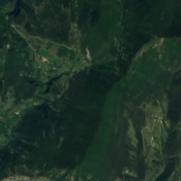
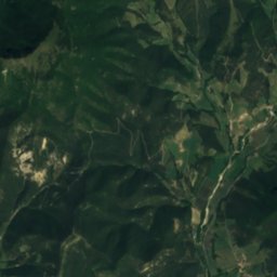
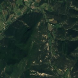
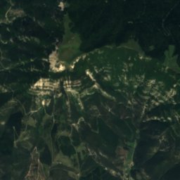
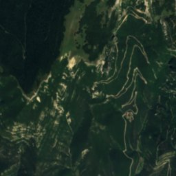
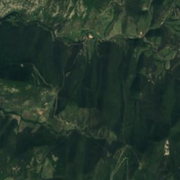
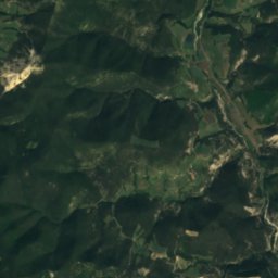
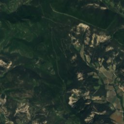
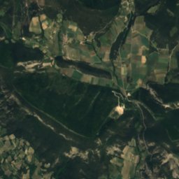
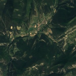
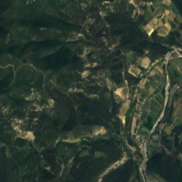
Mountains

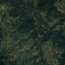
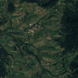
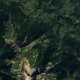
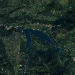
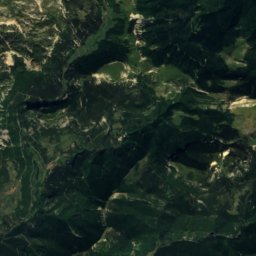
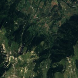
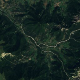
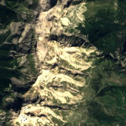
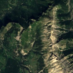
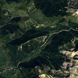
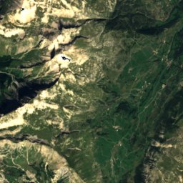
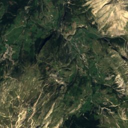
Satellite: Sentinel-2 cloudless 2016 by EOX IT Services GmbH · CC BY 4.0 · Contains modified Copernicus Sentinel data 2016
Grand Ferrand
2,758 m · Dévoluy Mountains

Heritage
Photo: Fabien Bièvre-Perrin / Musée de Die (détourage par Apolline Troyes) · CC BY-SA 4.0 · Wikimedia CommonsReport this photo · linked, not stored
Altars for bull offers
classified historical monument


