
Photo: Unknown author · CC BY-SA 3.0 · Wikimedia Commons
corroirieReport this photo · linked, not stored
corroirieReport this photo · linked, not stored

Photo: Manfred Heyde · CC BY-SA 3.0 · Wikimedia Commons
Chartreuse du LigetReport this photo · linked, not stored
Chartreuse du LigetChartreuse du LigetReport this photo · linked, not stored

Photo: ManuD · CC BY-SA 3.0 · Wikimedia Commons
chapelle Saint-Jean-du-Liget de SennevièresReport this photo · linked, not stored
chapelle Saint-Jean-du-Liget de Sennevièreschapelle Saint-Jean-du-Liget de SennevièresReport this photo · linked, not stored

Photo: ManuD · CC BY-SA 3.0 · Wikimedia Commons
église Saint-Vincent de Chemillé-sur-IndroisReport this photo · linked, not stored
église Saint-Vincent de Chemillé-sur-Indroiséglise Saint-Vincent de Chemillé-sur-IndroisReport this photo · linked, not stored

Photo: Joël Thibault · CC BY-SA 4.0 · Wikimedia Commons
Prieuré Notre-Dame et Saint-Étienne de VilliersReport this photo · linked, not stored
Prieuré Notre-Dame et Saint-Étienne de VilliersPrieuré Notre-Dame et Saint-Étienne de VilliersReport this photo · linked, not stored
HeritageChemillé-sur-Indrois, Centre-Val de Loire
corroirie
monument historique inscrit
TypeHeritage site
Built–
Best monthsJun–Jul · Sepweather in Chemillé-sur-Indrois
47.15° N, 1.14° EUTC+1 · Central European Standard Time
When to goChemillé-sur-Indrois · weather score
Best timeJun–Jul · Sep
October: high / low17° / 9°
iAbout
corroirie in brief
corroirie is a heritage site in Chemillé-sur-Indrois, Centre-Val de Loire, France.
It holds the designation monument historique inscrit.
For a visit, the weather in Chemillé-sur-Indrois is best in June, July and September; in October afternoons average 17°.
Facts
- Designation
- monument historique inscrit
- Nearest town
- Chemillé-sur-Indrois
- Region
- Centre-Val de Loire
- Coordinates
- 47.15090, 1.13990
iiLocation
Where to find it
iiiWhen to visit
Climate guideWeather in Chemillé-sur-Indrois
Month score for sightseeing
Best Jun–Jul · Sep20
Jan
26
Feb
43
Mar
65
Apr
68
May
73
Jun
72
Jul
72
Aug
81
Sep
64
Oct
29
Nov
19
Dec
ivNearby
All monuments in FranceMore heritage close by
chapelle Saint-Jean-du-Liget de Sennevières
1.9 km SW
classified historical monument
église Saint-Vincent de Chemillé-sur-Indrois
2.4 km NE
monument historique inscrit
Prieuré Notre-Dame et Saint-Étienne de Villiers
4.5 km SE
monument historique inscrit


Photo: User:Stephane8888 (Stephane8888 Wiktionnaire) · CC BY-SA 2.5 · Wikimedia CommonsReport this photo · linked, not stored
Halle aux laines
4.6 km E
monument historique inscrit
Around here
Chemillé-sur-Indrois and around

Chemillé-sur-Indrois
Centre-Val de Loire · France
Jun–Jul · Sepbest months
26°July high
92 maltitude
Nature


Heritage

Église Saint-Jean-Baptiste de Montrésor
classified historical monument · 1522

église Saint-Vincent de Chemillé-sur-Indrois
monument historique inscrit
Museums


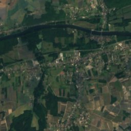
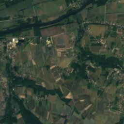
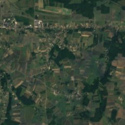
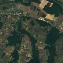
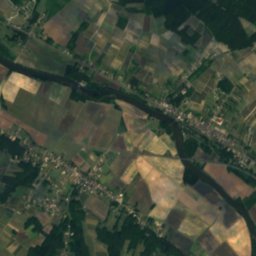
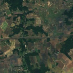
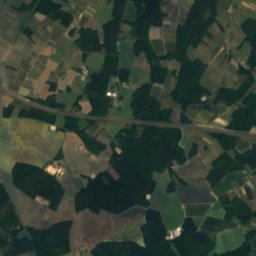
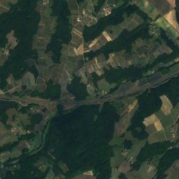
Satellite: Sentinel-2 cloudless 2016 by EOX IT Services GmbH · CC BY 4.0 · Contains modified Copernicus Sentinel data 2016
Museum Lansyer
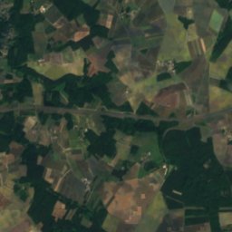
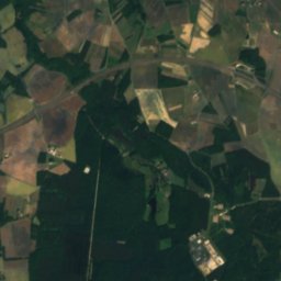
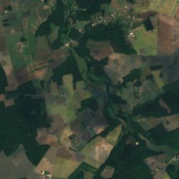
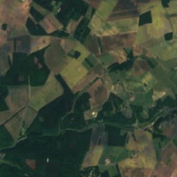
Satellite: Sentinel-2 cloudless 2016 by EOX IT Services GmbH · CC BY 4.0 · Contains modified Copernicus Sentinel data 2016
Museum of the Terroir of Loches
1925